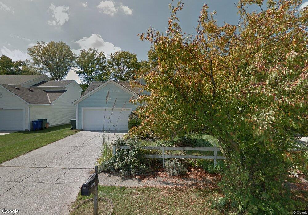
7819 Stanburn Rd Columbus, OH 43235
Foxboro NeighborhoodEstimated Value: $339,791 - $408,000
3
Beds
3
Baths
1,534
Sq Ft
$239/Sq Ft
Est. Value
About This Home
This home is located at 7819 Stanburn Rd, Columbus, OH 43235 and is currently estimated at $367,198, approximately $239 per square foot. 7819 Stanburn Rd is a home located in Franklin County with nearby schools including Albert Chapman Elementary School, Ann Simpson Davis Middle School, and Dublin Scioto High School.
Ownership History
Date
Name
Owned For
Owner Type
Purchase Details
Closed on
Jul 26, 2002
Sold by
Carney Mark
Bought by
Byer Craig W and Byer Tomoko
Current Estimated Value
Home Financials for this Owner
Home Financials are based on the most recent Mortgage that was taken out on this home.
Original Mortgage
$144,305
Outstanding Balance
$59,351
Interest Rate
6.7%
Estimated Equity
$307,847
Purchase Details
Closed on
May 27, 1999
Sold by
Fitzgerald Timothy J and Fitzgerald Cynthia K
Bought by
Carney Mark
Home Financials for this Owner
Home Financials are based on the most recent Mortgage that was taken out on this home.
Original Mortgage
$132,600
Interest Rate
6.99%
Mortgage Type
VA
Purchase Details
Closed on
Apr 12, 1994
Bought by
Fitzgerald Timothy J
Purchase Details
Closed on
Nov 1, 1986
Purchase Details
Closed on
Jan 1, 1986
Create a Home Valuation Report for This Property
The Home Valuation Report is an in-depth analysis detailing your home's value as well as a comparison with similar homes in the area
Home Values in the Area
Average Home Value in this Area
Purchase History
| Date | Buyer | Sale Price | Title Company |
|---|---|---|---|
| Byer Craig W | $151,900 | Stewart Title Agency Of Colu | |
| Carney Mark | $130,000 | -- | |
| Fitzgerald Timothy J | $104,900 | -- | |
| -- | $78,100 | -- | |
| -- | $29,000 | -- |
Source: Public Records
Mortgage History
| Date | Status | Borrower | Loan Amount |
|---|---|---|---|
| Open | Byer Craig W | $144,305 | |
| Closed | Carney Mark | $132,600 |
Source: Public Records
Tax History
| Year | Tax Paid | Tax Assessment Tax Assessment Total Assessment is a certain percentage of the fair market value that is determined by local assessors to be the total taxable value of land and additions on the property. | Land | Improvement |
|---|---|---|---|---|
| 2025 | $5,890 | $97,380 | $32,030 | $65,350 |
| 2024 | $5,890 | $97,380 | $32,030 | $65,350 |
| 2023 | $5,807 | $97,370 | $32,025 | $65,345 |
| 2022 | $4,627 | $72,110 | $16,840 | $55,270 |
| 2021 | $4,702 | $72,110 | $16,840 | $55,270 |
| 2020 | $4,674 | $72,110 | $16,840 | $55,270 |
| 2019 | $4,380 | $59,820 | $14,040 | $45,780 |
| 2018 | $4,453 | $59,820 | $14,040 | $45,780 |
| 2017 | $4,043 | $59,820 | $14,040 | $45,780 |
| 2016 | $4,481 | $62,270 | $13,340 | $48,930 |
| 2015 | $4,509 | $62,270 | $13,340 | $48,930 |
| 2014 | $4,513 | $62,270 | $13,340 | $48,930 |
| 2013 | $2,291 | $62,265 | $13,335 | $48,930 |
Source: Public Records
Map
Nearby Homes
- 2469 Sandstrom Dr
- 7641 Old Foxe Ct
- 7887 Thornfield Ln Unit 50
- 7891 Thornfield Ln Unit 48
- 7912 Meadowhaven Blvd Unit 30
- 7847 Meadowhaven Blvd Unit 66
- 7853 Meadowhaven Blvd Unit 63
- 2621 Summer Dr
- 7480 Gardenview Place
- 7187 Inverness Ct Unit 7187
- 7735 Schoolway Ct
- 2026 Sawbury Blvd
- 2024 Sawbury Blvd
- 2074 Hard Rd
- 7685 Starmont Ct
- 2001 Sawbury Blvd Unit 2001
- 2744 Saltergate Dr
- 3827 Carberry Dr Unit 3827
- 7965 Boothbay Ct Unit 20
- 6924 Spruce Pine Dr
- 7813 Stanburn Rd
- 7825 Stanburn Rd
- 7807 Stanburn Rd
- 7831 Stanburn Rd
- 7801 Stanburn Rd
- 2477 Sandstrom Dr
- 7837 Stanburn Rd
- 7834 Stanburn Rd
- 7795 Stanburn Rd
- 2480 Sanford Dr
- 0 Sandstrom Dr
- 7840 Stanburn Rd
- 7843 Stanburn Rd
- 7789 Stanburn Rd
- 2474 Sanford Dr
- 7846 Stanburn Rd
- 2461 Sandstrom Dr
- 2464 Sandstrom Dr
- 2522 Sandbury Blvd
- 7849 Stanburn Rd
Your Personal Tour Guide
Ask me questions while you tour the home.