Estimated Value: $685,000 - $1,025,000
6
Beds
6
Baths
4,473
Sq Ft
$181/Sq Ft
Est. Value
About This Home
This home is located at 782 1400 Ln, Delta, CO 81416 and is currently estimated at $810,818, approximately $181 per square foot. 782 1400 Ln is a home located in Delta County with nearby schools including Garnet Mesa Elementary School, Lincoln Elementary School, and Delta Middle School.
Ownership History
Date
Name
Owned For
Owner Type
Purchase Details
Closed on
May 22, 2015
Sold by
Musgrave Dale L and Musgrave Nicole J
Bought by
Varner Devin and Varner Ashley
Current Estimated Value
Home Financials for this Owner
Home Financials are based on the most recent Mortgage that was taken out on this home.
Original Mortgage
$238,000
Outstanding Balance
$183,546
Interest Rate
3.71%
Mortgage Type
New Conventional
Estimated Equity
$627,272
Purchase Details
Closed on
Jun 11, 2002
Sold by
Wood Carl
Bought by
Musgrave Dale L
Create a Home Valuation Report for This Property
The Home Valuation Report is an in-depth analysis detailing your home's value as well as a comparison with similar homes in the area
Home Values in the Area
Average Home Value in this Area
Purchase History
| Date | Buyer | Sale Price | Title Company |
|---|---|---|---|
| Varner Devin | $300,000 | Heritage Title | |
| Musgrave Dale L | $125,000 | -- |
Source: Public Records
Mortgage History
| Date | Status | Borrower | Loan Amount |
|---|---|---|---|
| Open | Varner Devin | $238,000 |
Source: Public Records
Tax History Compared to Growth
Tax History
| Year | Tax Paid | Tax Assessment Tax Assessment Total Assessment is a certain percentage of the fair market value that is determined by local assessors to be the total taxable value of land and additions on the property. | Land | Improvement |
|---|---|---|---|---|
| 2024 | $2,734 | $41,305 | $3,422 | $37,883 |
| 2023 | $2,734 | $41,305 | $3,422 | $37,883 |
| 2022 | $2,186 | $33,861 | $3,244 | $30,617 |
| 2021 | $2,221 | $35,061 | $3,563 | $31,498 |
| 2020 | $1,394 | $21,684 | $3,292 | $18,392 |
| 2019 | $1,379 | $21,684 | $3,292 | $18,392 |
| 2018 | $1,295 | $19,626 | $3,508 | $16,118 |
| 2017 | $1,258 | $19,626 | $3,508 | $16,118 |
| 2016 | $1,492 | $25,489 | $5,572 | $19,917 |
| 2014 | -- | $21,168 | $10,032 | $11,136 |
Source: Public Records
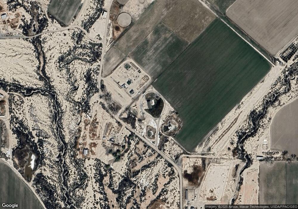
Map
Nearby Homes
- 1397 Highway 50
- 863 1400 Ln
- 1475 and Tbd Highway 50
- 1491 Highway 50 Unit 64
- TBD 1375 Rd
- 1312 & 1304 Granite Way
- 1511 Yankee Girl St
- TBD 1500 Ct
- 15101 Silver Belle St
- 15143 Silver Belle St
- 15179 Silver Belle St
- 10.5 ac. LOT 1B 1525 Rd
- 1532 U S 50
- 1249 Buckskin St
- 729 Spotted Pony Ct
- 1241 Buckskin St
- 778 1575 Rd
- 760 1575 Rd
- 1205 Highway 50 Unit 24
- 6038 Townsend Rd