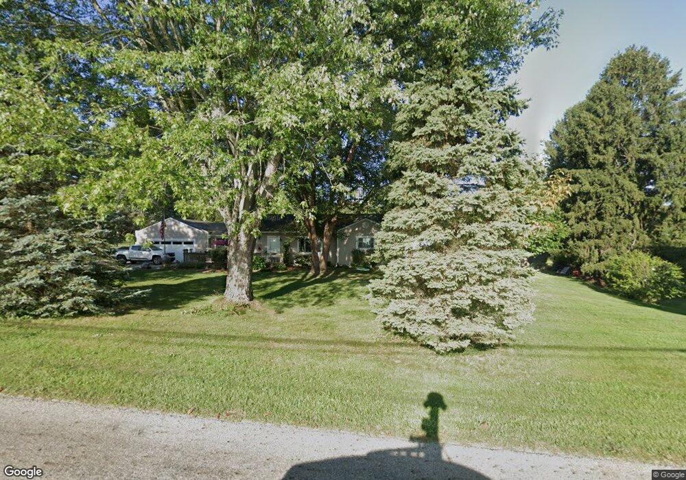
7820 Benson Rd Carroll, OH 43112
Bloom NeighborhoodEstimated Value: $363,305 - $420,000
3
Beds
2
Baths
1,856
Sq Ft
$217/Sq Ft
Est. Value
About This Home
This home is located at 7820 Benson Rd, Carroll, OH 43112 and is currently estimated at $401,826, approximately $216 per square foot. 7820 Benson Rd is a home located in Fairfield County with nearby schools including Bloom Carroll Primary School, Bloom Carroll Intermediate School, and Bloom-Carroll Middle School.
Ownership History
Date
Name
Owned For
Owner Type
Purchase Details
Closed on
Jun 26, 2009
Sold by
Slonim Diane L and Slonim Jonathan Bruce
Bought by
Rodriguez James B and Rodriguez Patricia Kay
Current Estimated Value
Home Financials for this Owner
Home Financials are based on the most recent Mortgage that was taken out on this home.
Original Mortgage
$152,000
Outstanding Balance
$94,842
Interest Rate
4.86%
Mortgage Type
Purchase Money Mortgage
Estimated Equity
$306,984
Purchase Details
Closed on
Apr 28, 2005
Sold by
Wikoff Arthur E and Wikoff Sandra K
Bought by
Slonim Jonathan Bruce and Slonim Diane L
Home Financials for this Owner
Home Financials are based on the most recent Mortgage that was taken out on this home.
Original Mortgage
$182,700
Interest Rate
6.06%
Mortgage Type
FHA
Purchase Details
Closed on
Mar 1, 1988
Create a Home Valuation Report for This Property
The Home Valuation Report is an in-depth analysis detailing your home's value as well as a comparison with similar homes in the area
Home Values in the Area
Average Home Value in this Area
Purchase History
| Date | Buyer | Sale Price | Title Company |
|---|---|---|---|
| Rodriguez James B | $169,900 | Real Living Title | |
| Slonim Jonathan Bruce | $200,000 | Real Living Title | |
| -- | $69,000 | -- |
Source: Public Records
Mortgage History
| Date | Status | Borrower | Loan Amount |
|---|---|---|---|
| Open | Rodriguez James B | $152,000 | |
| Closed | Slonim Jonathan Bruce | $182,700 |
Source: Public Records
Tax History
| Year | Tax Paid | Tax Assessment Tax Assessment Total Assessment is a certain percentage of the fair market value that is determined by local assessors to be the total taxable value of land and additions on the property. | Land | Improvement |
|---|---|---|---|---|
| 2025 | $7,191 | $98,250 | $24,660 | $73,590 |
| 2024 | $7,191 | $87,270 | $17,510 | $69,760 |
| 2023 | $3,694 | $87,270 | $17,510 | $69,760 |
| 2022 | $3,723 | $87,270 | $17,510 | $69,760 |
| 2021 | $2,907 | $61,600 | $13,310 | $48,290 |
| 2020 | $2,939 | $61,600 | $13,310 | $48,290 |
| 2019 | $2,948 | $61,600 | $13,310 | $48,290 |
| 2018 | $2,297 | $46,290 | $13,310 | $32,980 |
| 2017 | $2,165 | $48,570 | $9,800 | $38,770 |
| 2016 | $2,132 | $48,570 | $9,800 | $38,770 |
| 2015 | $2,119 | $46,920 | $9,800 | $37,120 |
| 2014 | $2,033 | $46,920 | $9,800 | $37,120 |
| 2013 | $2,033 | $46,920 | $9,800 | $37,120 |
Source: Public Records
Map
Nearby Homes
- 8322 Benson Rd
- 5560 Amanda Northern Rd NW
- 5840 High St NW
- 5840 Amanda Northern Rd NW
- 6103 Pickerington Rd
- 4400 Kauffman Rd NW
- 3510 Kauffman Rd NW
- 50 Market St
- 6625 Amanda Northern Rd
- 52 W Canal St
- 2155 Carroll-Southern Rd NW
- 5699 Feldon Ct NW
- 5341 Carnes Rd NW
- 3540 Carroll-Southern Rd NW
- 0 Sitterley Rd NW Unit 226004980
- 7567 Heatherwood Dr NW
- 5225 Lithopolis Winchester Nw Rd
- 2115 Lamb Rd NW
- 7195 Alspach Rd NW
- 5795 Lithopolis Winchester Rd NW
- 7820 Benson Rd NW
- 8022 Slough Rd
- 7780 Benson Rd
- 7860 Benson Rd
- 8035 Slough Rd NW
- 7780 Benson Rd NW
- 8035 Slough Rd
- 8035 Slough Rd
- 7789 Benson Rd
- 8055 Slough Rd
- 7952 Arbaugh Ridge Terrace
- 7900 Benson Rd NW
- 7900 Benson Rd
- 7730 Benson Rd
- 7940 Benson Rd
- 8075 Slough Rd
- 8092 Slough Rd
- 7906 Arbaugh Ridge Terrace
- 8115 Slough Rd NW
- 8115 Slough Rd
Your Personal Tour Guide
Ask me questions while you tour the home.