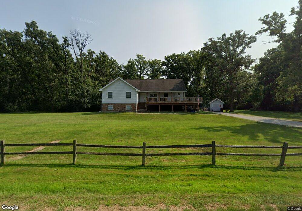
7821 W Woodvale Rd Frankfort, IL 60423
Frankfort Square NeighborhoodEstimated Value: $427,000 - $546,000
3
Beds
3
Baths
1,564
Sq Ft
$308/Sq Ft
Est. Value
About This Home
This home is located at 7821 W Woodvale Rd, Frankfort, IL 60423 and is currently estimated at $482,027, approximately $308 per square foot. 7821 W Woodvale Rd is a home located in Will County with nearby schools including Indian Trail Elementary School, Summit Hill Junior High School, and Lincoln-Way East High School.
Ownership History
Date
Name
Owned For
Owner Type
Purchase Details
Closed on
Mar 3, 2011
Sold by
Devalk James Melvin and De Valk Brenda Gale
Bought by
Bell Terryo T
Current Estimated Value
Home Financials for this Owner
Home Financials are based on the most recent Mortgage that was taken out on this home.
Original Mortgage
$224,700
Outstanding Balance
$143,680
Interest Rate
3.37%
Mortgage Type
Adjustable Rate Mortgage/ARM
Estimated Equity
$338,347
Create a Home Valuation Report for This Property
The Home Valuation Report is an in-depth analysis detailing your home's value as well as a comparison with similar homes in the area
Home Values in the Area
Average Home Value in this Area
Purchase History
| Date | Buyer | Sale Price | Title Company |
|---|---|---|---|
| Bell Terryo T | $220,000 | Attorneys Title Guaranty Fun |
Source: Public Records
Mortgage History
| Date | Status | Borrower | Loan Amount |
|---|---|---|---|
| Open | Bell Terryo T | $224,700 |
Source: Public Records
Tax History Compared to Growth
Tax History
| Year | Tax Paid | Tax Assessment Tax Assessment Total Assessment is a certain percentage of the fair market value that is determined by local assessors to be the total taxable value of land and additions on the property. | Land | Improvement |
|---|---|---|---|---|
| 2024 | $11,202 | $148,459 | $40,643 | $107,816 |
| 2023 | $11,202 | $132,588 | $36,298 | $96,290 |
| 2022 | $9,878 | $120,765 | $33,061 | $87,704 |
| 2021 | $9,256 | $112,981 | $30,930 | $82,051 |
| 2020 | $9,015 | $109,797 | $30,058 | $79,739 |
| 2019 | $8,712 | $106,859 | $29,254 | $77,605 |
| 2018 | $8,402 | $103,787 | $28,413 | $75,374 |
| 2017 | $8,218 | $101,365 | $27,750 | $73,615 |
| 2016 | $7,965 | $97,890 | $26,799 | $71,091 |
| 2015 | $7,675 | $94,443 | $25,855 | $68,588 |
| 2014 | $7,675 | $93,786 | $25,675 | $68,111 |
| 2013 | $7,675 | $95,002 | $26,008 | $68,994 |
Source: Public Records
Map
Nearby Homes
- 21257 S 79th Ave
- 7324 Heritage Ct Unit 2D
- 21122 S Hillside Rd
- 7319 Colony Ln Unit 1G
- 7626 W Hickory Creek Dr
- 515 Durham Dr
- 590 Timber Ln
- 7223 W Mathews Dr
- 20552 S Frankfort Square Rd
- 8631 Saddlebred Ct Unit 75
- 8638 Saddlebred Ct Unit 24
- 8643 Shire Ct
- 21437 Breton Rd
- 8667 Saddlebred Ct Unit 10-3
- 20513 S Acorn Ridge Dr
- Vacant Lot W Sauk Trail
- 21466 English Cir
- 7639 W Juniper Ct
- 21454 English Dr
- 7723 Jamison Dr
- 21336 S 78th Ave
- 7820 W Woodvale Rd
- 21309 S 79th Ave
- 21315 S 79th Ave
- 21327 S 79th Ave
- 21346 S 78th Ave
- 21337 S 79th Ave
- 21236 S 78th Ave
- 21347 S 79th Ave
- 7757 Steeple Chase Dr
- 21245 S 79th Ave
- 21226 S 78th Ave
- 21357 S 79th Ave
- 7741 Steeple Chase Dr
- 21400 S 78th Ave
- 21328 S 79th Ave
- 7731 Steeple Chase Dr
- 21216 S 78th Ave
- 21314 S 79th Ave
- 21310 S 79th Ave