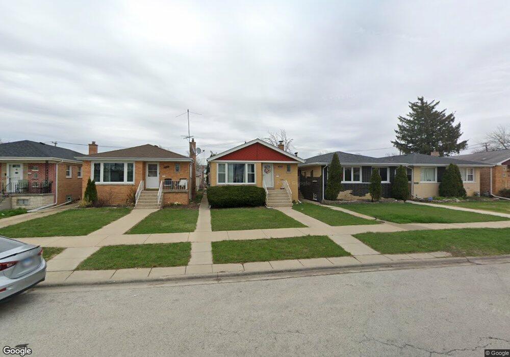
7823 Moody Ave Burbank, IL 60459
Estimated Value: $308,202 - $348,000
3
Beds
1
Bath
1,035
Sq Ft
$312/Sq Ft
Est. Value
About This Home
This home is located at 7823 Moody Ave, Burbank, IL 60459 and is currently estimated at $322,551, approximately $311 per square foot. 7823 Moody Ave is a home located in Cook County with nearby schools including Harry E. Fry School, Reavis High School, and St Albert the Great Catholic School.
Ownership History
Date
Name
Owned For
Owner Type
Purchase Details
Closed on
May 21, 2011
Sold by
Banks Roberta and Dolecki John
Bought by
Walczak Crystal
Current Estimated Value
Home Financials for this Owner
Home Financials are based on the most recent Mortgage that was taken out on this home.
Original Mortgage
$152,510
Outstanding Balance
$105,350
Interest Rate
4.75%
Mortgage Type
FHA
Estimated Equity
$217,201
Create a Home Valuation Report for This Property
The Home Valuation Report is an in-depth analysis detailing your home's value as well as a comparison with similar homes in the area
Home Values in the Area
Average Home Value in this Area
Purchase History
| Date | Buyer | Sale Price | Title Company |
|---|---|---|---|
| Walczak Crystal | $161,000 | Pntn |
Source: Public Records
Mortgage History
| Date | Status | Borrower | Loan Amount |
|---|---|---|---|
| Open | Walczak Crystal | $152,510 |
Source: Public Records
Tax History Compared to Growth
Tax History
| Year | Tax Paid | Tax Assessment Tax Assessment Total Assessment is a certain percentage of the fair market value that is determined by local assessors to be the total taxable value of land and additions on the property. | Land | Improvement |
|---|---|---|---|---|
| 2024 | $6,108 | $23,001 | $3,506 | $19,495 |
| 2023 | $5,032 | $23,001 | $3,506 | $19,495 |
| 2022 | $5,032 | $16,468 | $3,044 | $13,424 |
| 2021 | $4,848 | $16,468 | $3,044 | $13,424 |
| 2020 | $4,758 | $16,468 | $3,044 | $13,424 |
| 2019 | $4,986 | $17,345 | $2,767 | $14,578 |
| 2018 | $4,842 | $17,345 | $2,767 | $14,578 |
| 2017 | $4,702 | $17,345 | $2,767 | $14,578 |
| 2016 | $4,336 | $14,805 | $2,306 | $12,499 |
| 2015 | $4,132 | $14,805 | $2,306 | $12,499 |
| 2014 | $4,026 | $14,805 | $2,306 | $12,499 |
| 2013 | $3,748 | $15,099 | $2,306 | $12,793 |
Source: Public Records
Map
Nearby Homes
- 7851 Moody Ave
- 7723 Melvina Ave
- 6040 W 79th St
- 7734 Melvina Ave
- 7711 Melvina Ave
- 6127 W 79th Place
- 7707 Mobile Ave
- 7921 Mobile Ave
- 7802 Mulligan Ave
- 6241 W 80th St
- 7836 Monitor Ave
- 7840 Monitor Ave
- 7740 Monitor Ave
- 7900 S Nagle Ave Unit 1S
- 7712 Nagle Ave
- 7542 Mason Ave
- 7900 Nagle Ave Unit 3S
- 6139 W 81st Place
- 8146 Austin Ave
- 7840 Massasoit Ave