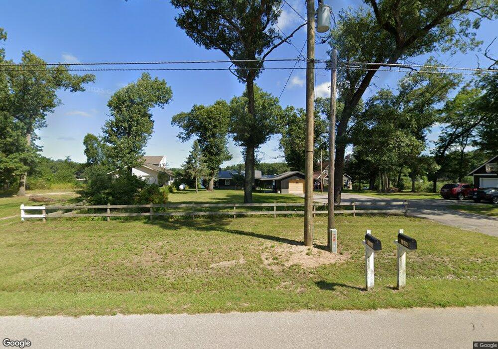
7824 E Us Highway 10 Branch, MI 49402
Estimated Value: $223,000 - $253,000
2
Beds
1
Bath
980
Sq Ft
$236/Sq Ft
Est. Value
About This Home
This home is located at 7824 E Us Highway 10, Branch, MI 49402 and is currently estimated at $230,797, approximately $235 per square foot. 7824 E Us Highway 10 is a home located in Mason County with nearby schools including Scottville Elementary School, Mason County Central Upper Elementary School, and Mason County Central Middle School.
Ownership History
Date
Name
Owned For
Owner Type
Purchase Details
Closed on
Feb 16, 2023
Sold by
Robidoux Nathan and Robidoux Nicole
Bought by
Keisler Eveline P
Current Estimated Value
Home Financials for this Owner
Home Financials are based on the most recent Mortgage that was taken out on this home.
Original Mortgage
$174,800
Outstanding Balance
$168,706
Interest Rate
6.48%
Mortgage Type
New Conventional
Estimated Equity
$62,091
Purchase Details
Closed on
Aug 27, 2021
Sold by
Robidoux Nathan
Bought by
Robidoux Nathan and Jacobs Nicole
Purchase Details
Closed on
Jun 18, 2019
Sold by
Buckmaster Larry D Est
Bought by
Robidoux Nathan
Home Financials for this Owner
Home Financials are based on the most recent Mortgage that was taken out on this home.
Original Mortgage
$89,919
Interest Rate
4%
Mortgage Type
Purchase Money Mortgage
Create a Home Valuation Report for This Property
The Home Valuation Report is an in-depth analysis detailing your home's value as well as a comparison with similar homes in the area
Purchase History
| Date | Buyer | Sale Price | Title Company |
|---|---|---|---|
| Keisler Eveline P | $184,000 | -- | |
| Robidoux Nathan | -- | None Available | |
| Robidoux Nathan | $92,700 | -- |
Source: Public Records
Mortgage History
| Date | Status | Borrower | Loan Amount |
|---|---|---|---|
| Open | Keisler Eveline P | $174,800 | |
| Previous Owner | Robidoux Nathan | $89,919 |
Source: Public Records
Tax History Compared to Growth
Tax History
| Year | Tax Paid | Tax Assessment Tax Assessment Total Assessment is a certain percentage of the fair market value that is determined by local assessors to be the total taxable value of land and additions on the property. | Land | Improvement |
|---|---|---|---|---|
| 2025 | $2,261 | $90,500 | $90,500 | $0 |
| 2024 | -- | $83,100 | $83,100 | $0 |
| 2023 | -- | $62,200 | $62,200 | $0 |
| 2022 | -- | $56,600 | $0 | $0 |
Source: Public Records
Map
Nearby Homes
- 7832 E Us Highway 10
- 7832 U S 10
- 7460 U S 10
- 9554 Highway 10 NW
- 161 N Jackpine Rd
- 8570 U S 10
- 7819 E Chickasaw Trail
- 105 N Mike St
- 395 N Campbell Rd
- 1820 S Reid Rd
- 0 N Tyndall Rd
- 1754 Maggie St
- V/L 1.47A N Tallman Lake Rd
- V L 1 47a North Tallman Lake Rd
- 2261 N Tallman Lake Rd
- V/L 20A N Campbell Rd
- 3077 S Tyndall Rd
- 8747 E Kinney Rd
- 2258 N Schoenherr Rd
- 57.71 E Hansen Rd
- 7824 E Us Highway 10
- 7824 E Us Highway 10
- 7810 E Us Highway 10
- 7810 E Us Highway 10
- 7832 E Us Highway 10
- 7860 E Us 10
- 7786 U S 10
- 7831 U S 10
- 7831 E Us Highway 10
- 7855 E Us Highway 10
- 7855 E Us Highway 10
- 7855 E Us Highway 10
- 7838 U S 10
- 7896 U S 10
- 7896 E Us Highway 10
- 7807 E Us Highway 10
- 7807 E Us Highway 10
- 5662 W Us Highway 10
- 5662 W Us Highway 10
- 281 S Emerson Dr