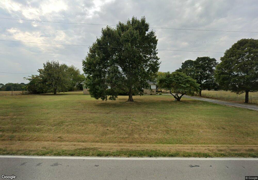
7824 W State Highway Ee Springfield, MO 65802
Estimated Value: $296,000 - $341,000
3
Beds
2
Baths
1,524
Sq Ft
$211/Sq Ft
Est. Value
About This Home
This home is located at 7824 W State Highway Ee, Springfield, MO 65802 and is currently estimated at $320,879, approximately $210 per square foot. 7824 W State Highway Ee is a home located in Greene County with nearby schools including Willard Central Elementary School and Willard Intermediate School North.
Ownership History
Date
Name
Owned For
Owner Type
Purchase Details
Closed on
Nov 11, 2024
Sold by
Dye Brian and Dye Kara
Bought by
Brian P Dye And Kara J Dye Joint Revocable Li and Dye
Current Estimated Value
Purchase Details
Closed on
Apr 3, 2023
Sold by
Dye Shawn and Dye Brian
Bought by
Dye Brian and Dye Kara
Purchase Details
Closed on
Apr 8, 2022
Sold by
Charles E Teeslink E and Charles Brenda L
Bought by
Teeslink Matthew W
Home Financials for this Owner
Home Financials are based on the most recent Mortgage that was taken out on this home.
Original Mortgage
$372,960
Interest Rate
3.89%
Mortgage Type
Purchase Money Mortgage
Purchase Details
Closed on
Apr 27, 2021
Sold by
Stockstill Mary F
Bought by
Stockstill Mary F and Dye Shawn
Create a Home Valuation Report for This Property
The Home Valuation Report is an in-depth analysis detailing your home's value as well as a comparison with similar homes in the area
Home Values in the Area
Average Home Value in this Area
Purchase History
| Date | Buyer | Sale Price | Title Company |
|---|---|---|---|
| Brian P Dye And Kara J Dye Joint Revocable Li | -- | None Listed On Document | |
| Brian P Dye And Kara J Dye Joint Revocable Li | -- | None Listed On Document | |
| Dye Brian | -- | None Listed On Document | |
| Teeslink Matthew W | -- | None Listed On Document | |
| Teeslink Matthew W | -- | None Listed On Document | |
| Stockstill Mary F | -- | None Listed On Document |
Source: Public Records
Mortgage History
| Date | Status | Borrower | Loan Amount |
|---|---|---|---|
| Previous Owner | Teeslink Matthew W | $372,960 |
Source: Public Records
Tax History
| Year | Tax Paid | Tax Assessment Tax Assessment Total Assessment is a certain percentage of the fair market value that is determined by local assessors to be the total taxable value of land and additions on the property. | Land | Improvement |
|---|---|---|---|---|
| 2025 | $1,665 | $29,480 | $9,580 | $19,900 |
| 2024 | $1,454 | $25,280 | $6,730 | $18,550 |
| 2023 | $1,449 | $25,280 | $6,730 | $18,550 |
| 2022 | $1,327 | $23,720 | $6,730 | $16,990 |
| 2021 | $1,327 | $23,720 | $6,730 | $16,990 |
| 2020 | $1,198 | $21,030 | $6,730 | $14,300 |
| 2019 | $1,191 | $21,030 | $6,730 | $14,300 |
| 2018 | $1,053 | $18,390 | $6,750 | $11,640 |
| 2017 | $1,044 | $18,380 | $6,750 | $11,630 |
| 2016 | $1,038 | $18,380 | $6,750 | $11,630 |
| 2015 | $1,030 | $18,380 | $6,750 | $11,630 |
| 2014 | $1,038 | $18,370 | $6,750 | $11,620 |
Source: Public Records
Map
Nearby Homes
- 2548 Arrow Ln N
- 2007 N Farm Road 89
- 000-Trct 4 N Farm Road 89
- 7105 W Woodlawn St
- 1533 N Farm Road 89
- 2831 N Garry St
- 000 N Farm Road 101
- 8756 W Farm Road 124
- 2506 N Meadow Lake Dr
- 11550 N Farm Road 101
- 2571 N Honeysuckle Way
- 8249 W Spruce Ln
- 6334 Crystal Ln W
- 000 N Farm Road 83
- 7906 W Farm Road 94
- 4225 N State Highway Ab
- 7546 Persimmon Ct
- 7138 W Farm Road 136
- 1668 N Farm Road 71
- Lot 1 S State Highway T
- 7760 W State Highway Ee
- 7765 W State Highway Ee
- 000 State Hwy Ee
- Tract 4 State Hwy Ee
- 7714 W State Highway Ee
- 7681 W State Highway Ee
- Tract 3 State Hwy Ee
- 2473 N Farm Road 93
- 7953 W State Highway Ee
- Tract 2 State Hwy Ee
- 2211 N Cloverfield Ln
- 0 N Farm Road 93 Unit 10812091
- 0 N Farm Road 93 Unit 10812092
- Tbd N Farm Road 93
- 7643 W State Highway Ee
- 2184 N Farm Road 93
- Tract 1 State Hwy Ee
- 2519 N Farm Road 93
- 7607 W State Highway Ee
- 7578 W Carl Ave
Your Personal Tour Guide
Ask me questions while you tour the home.