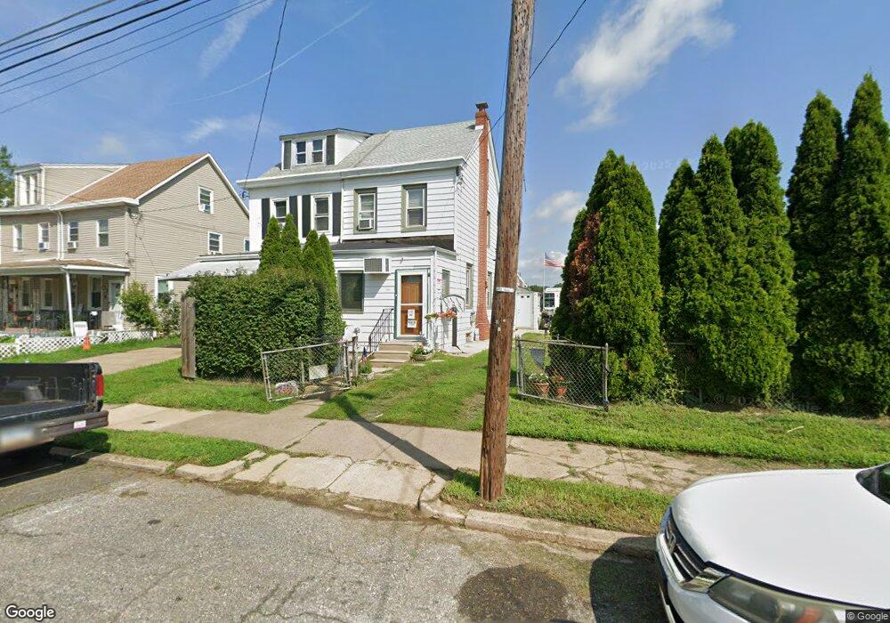
7826 Craig St Philadelphia, PA 19136
Mayfair NeighborhoodEstimated Value: $240,000 - $266,000
--
Bed
--
Bath
1,200
Sq Ft
$208/Sq Ft
Est. Value
About This Home
This home is located at 7826 Craig St, Philadelphia, PA 19136 and is currently estimated at $249,917, approximately $208 per square foot. 7826 Craig St is a home located in Philadelphia County with nearby schools including Lincoln High School, Meehan Austin Middle School, and Northeast Community Propel Academy.
Ownership History
Date
Name
Owned For
Owner Type
Purchase Details
Closed on
Jan 12, 2007
Sold by
Touey Shona Marie
Bought by
Mulhern Elizabeth A
Current Estimated Value
Home Financials for this Owner
Home Financials are based on the most recent Mortgage that was taken out on this home.
Original Mortgage
$144,637
Outstanding Balance
$86,098
Interest Rate
6.14%
Mortgage Type
FHA
Estimated Equity
$163,819
Create a Home Valuation Report for This Property
The Home Valuation Report is an in-depth analysis detailing your home's value as well as a comparison with similar homes in the area
Home Values in the Area
Average Home Value in this Area
Purchase History
| Date | Buyer | Sale Price | Title Company |
|---|---|---|---|
| Mulhern Elizabeth A | $150,000 | None Available |
Source: Public Records
Mortgage History
| Date | Status | Borrower | Loan Amount |
|---|---|---|---|
| Open | Mulhern Elizabeth A | $144,637 |
Source: Public Records
Tax History Compared to Growth
Tax History
| Year | Tax Paid | Tax Assessment Tax Assessment Total Assessment is a certain percentage of the fair market value that is determined by local assessors to be the total taxable value of land and additions on the property. | Land | Improvement |
|---|---|---|---|---|
| 2025 | $3,063 | $254,900 | $50,980 | $203,920 |
| 2024 | $3,063 | $254,900 | $50,980 | $203,920 |
| 2023 | $3,063 | $218,800 | $43,760 | $175,040 |
| 2022 | $1,953 | $173,800 | $43,760 | $130,040 |
| 2021 | $2,583 | $0 | $0 | $0 |
| 2020 | $2,583 | $0 | $0 | $0 |
| 2019 | $2,352 | $0 | $0 | $0 |
| 2018 | $2,087 | $0 | $0 | $0 |
| 2017 | $2,087 | $0 | $0 | $0 |
| 2016 | $1,667 | $0 | $0 | $0 |
| 2015 | $1,596 | $0 | $0 | $0 |
| 2014 | -- | $149,100 | $38,625 | $110,475 |
| 2012 | -- | $16,128 | $2,111 | $14,017 |
Source: Public Records
Map
Nearby Homes
- 3520 Ashville St
- 3515 Ashville St
- 3438 Decatur St
- 4016 Decatur St
- 3414 Hartel Ave
- 3556 Meridian St
- 8053 Charles St
- 4203 Hartel Ave
- 8011 Crispin St
- 3405 Sheffield St
- 3324 Lansing St
- 4224 Chippendale Ave
- 3528 Chippendale Ave
- 3411 Chippendale Ave
- 4228 Rhawn St
- 4228 Hartel Ave
- 3557 Oakmont St
- 4011 Marple St
- 3310 Sheffield Ave
- 8056 Erdrick St
- 7824 Craig St
- 3530 Ashville St
- 7822 Craig St
- 7820 Craig St
- 3528 Ashville St
- 7818 Craig St
- 3526 Ashville St
- 7836 Craig St
- 7816 Craig St
- 7838 Craig St
- 3524 Ashville St
- 3522 Ashville St
- 3531 Hartel Ave
- 7802 Craig St
- 3529 Hartel Ave
- 3533 Ashville St
- 7800 Craig St
- 7815 Craig St
- 3527 Hartel Ave
- 3531 Ashville St