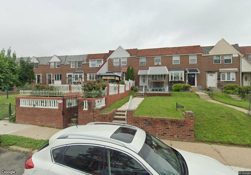
7827 Forrest Ave Philadelphia, PA 19150
West Oak Lane NeighborhoodEstimated Value: $229,000 - $263,000
3
Beds
1
Bath
1,088
Sq Ft
$223/Sq Ft
Est. Value
About This Home
This home is located at 7827 Forrest Ave, Philadelphia, PA 19150 and is currently estimated at $243,022, approximately $223 per square foot. 7827 Forrest Ave is a home located in Philadelphia County with nearby schools including Franklin S Edmonds School, Martin Luther King High School, and St. Raymond Of Penafort Catholic School.
Ownership History
Date
Name
Owned For
Owner Type
Purchase Details
Closed on
Sep 27, 2007
Sold by
Leary Andrew and Barone Robert
Bought by
Denton Dawnette
Current Estimated Value
Home Financials for this Owner
Home Financials are based on the most recent Mortgage that was taken out on this home.
Original Mortgage
$145,614
Outstanding Balance
$92,707
Interest Rate
6.59%
Mortgage Type
FHA
Estimated Equity
$150,315
Create a Home Valuation Report for This Property
The Home Valuation Report is an in-depth analysis detailing your home's value as well as a comparison with similar homes in the area
Home Values in the Area
Average Home Value in this Area
Purchase History
| Date | Buyer | Sale Price | Title Company |
|---|---|---|---|
| Denton Dawnette | $147,900 | None Available |
Source: Public Records
Mortgage History
| Date | Status | Borrower | Loan Amount |
|---|---|---|---|
| Open | Denton Dawnette | $145,614 |
Source: Public Records
Tax History Compared to Growth
Tax History
| Year | Tax Paid | Tax Assessment Tax Assessment Total Assessment is a certain percentage of the fair market value that is determined by local assessors to be the total taxable value of land and additions on the property. | Land | Improvement |
|---|---|---|---|---|
| 2025 | $2,616 | $231,800 | $46,360 | $185,440 |
| 2024 | $2,616 | $231,800 | $46,360 | $185,440 |
| 2023 | $2,616 | $186,900 | $37,380 | $149,520 |
| 2022 | $1,254 | $141,900 | $37,380 | $104,520 |
| 2021 | $1,884 | $0 | $0 | $0 |
| 2020 | $1,884 | $0 | $0 | $0 |
| 2019 | $1,967 | $0 | $0 | $0 |
| 2018 | $1,975 | $0 | $0 | $0 |
| 2017 | $1,975 | $0 | $0 | $0 |
| 2016 | $1,555 | $0 | $0 | $0 |
| 2015 | $1,489 | $0 | $0 | $0 |
| 2014 | -- | $141,100 | $16,711 | $124,389 |
| 2012 | -- | $16,352 | $2,506 | $13,846 |
Source: Public Records
Map
Nearby Homes
- 7837 Williams Ave
- 7824 Fayette St
- 7724 Fayette St
- 7734 Temple Rd
- 7732 Temple Rd
- 7703 Gilbert St
- 7640 Williams Ave
- 7729 Temple Rd
- 7723 Temple Rd
- 7968 Fayette St
- 7638 Thouron Ave
- 7643 Gilbert St
- 7638 Fayette St
- 7919 Michener Ave
- 1300 E Gorgas Ln
- 7617 Woolston Ave
- 1167 E Dorset St
- 1159 E Hortter St
- 7945 Limekiln Pike
- 8016 Michener Ave
- 7825 Forrest Ave
- 7829 Forrest Ave
- 7831 Forrest Ave
- 7833 Forrest Ave
- 7821 Forrest Ave
- 7835 Forrest Ave
- 7819 Forrest Ave
- 7837 Forrest Ave
- 7817 Forrest Ave
- 7815 Forrest Ave
- 7839 Forrest Ave
- 7826 Williams Ave
- 7813 Forrest Ave
- 7841 Forrest Ave
- 7828 Williams Ave
- 7830 Williams Ave
- 7824 Williams Ave
- 7822 Williams Ave
- 7811 Forrest Ave
- 7843 Forrest Ave