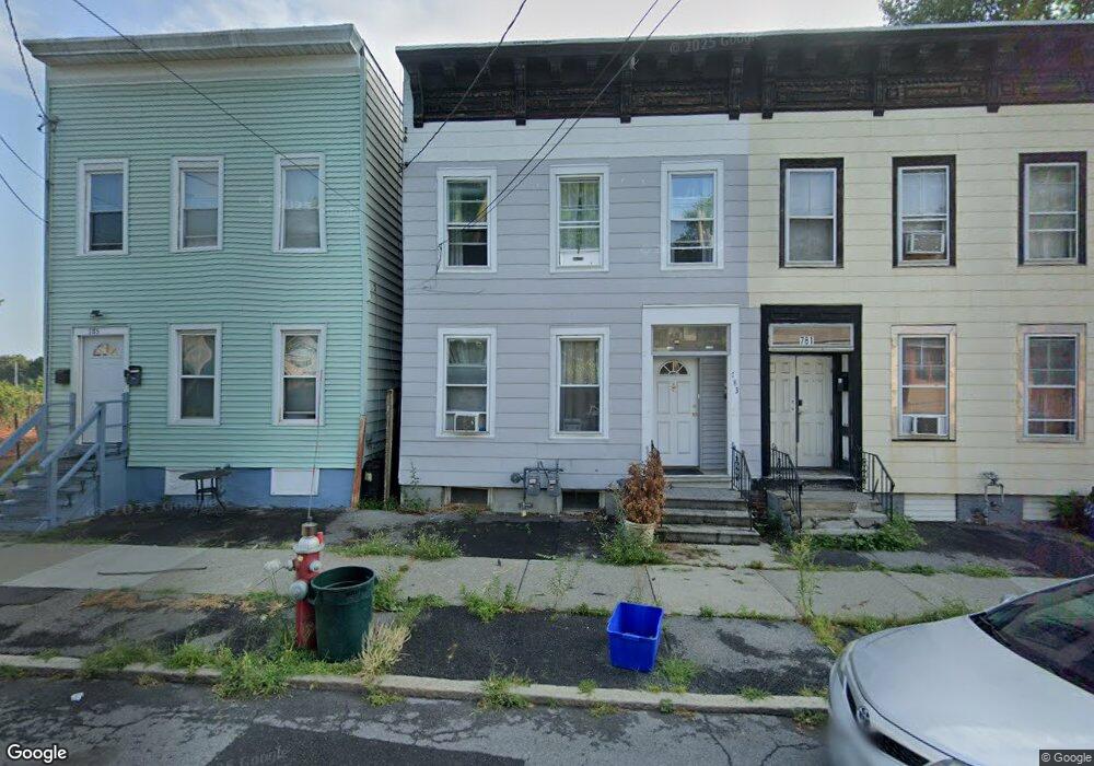
783 Livingston Ave Albany, NY 12206
West End NeighborhoodEstimated Value: $132,977 - $221,000
3
Beds
2
Baths
1,600
Sq Ft
$108/Sq Ft
Est. Value
About This Home
This home is located at 783 Livingston Ave, Albany, NY 12206 and is currently estimated at $172,744, approximately $107 per square foot. 783 Livingston Ave is a home located in Albany County with nearby schools including Pine Hills Elementary School, Stephen And Harriet Myers Middle School, and Albany High School.
Ownership History
Date
Name
Owned For
Owner Type
Purchase Details
Closed on
Jun 22, 2022
Sold by
Albany County Land Bank Corporati
Bought by
Mahmood Miaad
Current Estimated Value
Purchase Details
Closed on
Feb 4, 2015
Sold by
Bostick Vincent
Bought by
Guardian Preservation Llc
Purchase Details
Closed on
Jun 11, 1998
Sold by
Gabriels Thomas
Bought by
Bostick Vincent
Purchase Details
Closed on
Sep 24, 1997
Sold by
Secretary Of Hud
Bought by
Gabriels Thomas and Muia Frank
Purchase Details
Closed on
Dec 5, 1996
Create a Home Valuation Report for This Property
The Home Valuation Report is an in-depth analysis detailing your home's value as well as a comparison with similar homes in the area
Home Values in the Area
Average Home Value in this Area
Purchase History
| Date | Buyer | Sale Price | Title Company |
|---|---|---|---|
| Mahmood Miaad | $10,500 | Elite Title & Abstract | |
| Guardian Preservation Llc | $1,000 | None Available | |
| Bostick Vincent | $55,000 | -- | |
| Gabriels Thomas | $6,960 | -- | |
| -- | $43,509 | -- |
Source: Public Records
Tax History Compared to Growth
Tax History
| Year | Tax Paid | Tax Assessment Tax Assessment Total Assessment is a certain percentage of the fair market value that is determined by local assessors to be the total taxable value of land and additions on the property. | Land | Improvement |
|---|---|---|---|---|
| 2024 | $2,631 | $89,000 | $17,800 | $71,200 |
| 2023 | $771 | $15,000 | $3,500 | $11,500 |
| 2022 | $232 | $15,000 | $3,500 | $11,500 |
| 2021 | $232 | $15,000 | $3,500 | $11,500 |
| 2020 | $810 | $15,000 | $3,500 | $11,500 |
| 2019 | $2,262 | $15,000 | $3,500 | $11,500 |
| 2018 | $1,030 | $15,000 | $3,500 | $11,500 |
| 2017 | $336 | $15,000 | $3,500 | $11,500 |
| 2016 | $1,038 | $15,000 | $3,500 | $11,500 |
| 2015 | $3,452 | $74,000 | $14,800 | $59,200 |
| 2014 | -- | $74,000 | $14,800 | $59,200 |
Source: Public Records
Map
Nearby Homes
- 50 N Manning Blvd
- 857 Livingston Ave
- 38 Garfield Place
- 40 Garfield Place
- 37-39 N Manning Blvd
- 41-43 N Manning Blvd
- 21 Watervliet Ave
- 15 N Manning Blvd
- 9 N Manning Blvd
- 53 N Manning Blvd
- 596 3rd St
- 587 3rd St
- 3 Manning Square
- 30 Willow St
- 630 Livingston Ave
- 596 Livingston Ave
- 107 Kent St
- 464 3rd St
- 61 Lincoln Ave
- 41 Ontario St
- 781 Livingston Ave
- 785 Livingston Ave
- 779 Livingston Ave
- 787 Livingston Ave
- 777 Livingston Ave
- 775 Livingston Ave
- 791 Livingston Ave
- 773 Livingston Ave
- 793 Livingston Ave
- 771 Livingston Ave
- 778 Livingston Ave
- 795 Livingston Ave
- 782 Livingston Ave Unit 2
- 782 Livingston Ave
- 767 Livingston Ave
- 780 Livingston Ave
- 799 Livingston Ave
- 770 Livingston Ave
- 17 Essex St
- 792 Livingston Ave