783 Livingston Place Decatur, GA 30030
Estimated Value: $520,578 - $644,000
3
Beds
2
Baths
1,500
Sq Ft
$395/Sq Ft
Est. Value
About This Home
This home is located at 783 Livingston Place, Decatur, GA 30030 and is currently estimated at $592,645, approximately $395 per square foot. 783 Livingston Place is a home located in DeKalb County with nearby schools including Avondale Elementary School, Druid Hills Middle School, and Druid Hills High School.
Ownership History
Date
Name
Owned For
Owner Type
Purchase Details
Closed on
Nov 20, 2020
Sold by
Hurst Chuck
Bought by
Shanahan Riley Kenneth
Current Estimated Value
Home Financials for this Owner
Home Financials are based on the most recent Mortgage that was taken out on this home.
Original Mortgage
$370,000
Outstanding Balance
$327,346
Interest Rate
2.8%
Mortgage Type
New Conventional
Estimated Equity
$265,299
Purchase Details
Closed on
Oct 11, 2006
Sold by
Sullivan Thomas H and Sullivan Nalda M
Bought by
Hurst Chuck
Create a Home Valuation Report for This Property
The Home Valuation Report is an in-depth analysis detailing your home's value as well as a comparison with similar homes in the area
Home Values in the Area
Average Home Value in this Area
Purchase History
| Date | Buyer | Sale Price | Title Company |
|---|---|---|---|
| Shanahan Riley Kenneth | $445,000 | -- | |
| Hurst Chuck | $175,000 | -- |
Source: Public Records
Mortgage History
| Date | Status | Borrower | Loan Amount |
|---|---|---|---|
| Open | Shanahan Riley Kenneth | $370,000 |
Source: Public Records
Tax History Compared to Growth
Tax History
| Year | Tax Paid | Tax Assessment Tax Assessment Total Assessment is a certain percentage of the fair market value that is determined by local assessors to be the total taxable value of land and additions on the property. | Land | Improvement |
|---|---|---|---|---|
| 2024 | $8,014 | $172,720 | $47,040 | $125,680 |
| 2023 | $8,014 | $178,400 | $41,880 | $136,520 |
| 2022 | $7,719 | $167,720 | $40,000 | $127,720 |
| 2021 | $7,719 | $167,720 | $40,000 | $127,720 |
| 2020 | $4,622 | $97,160 | $40,000 | $57,160 |
| 2019 | $4,359 | $91,160 | $40,000 | $51,160 |
| 2018 | $3,739 | $87,080 | $14,720 | $72,360 |
| 2017 | $3,557 | $68,760 | $14,720 | $54,040 |
| 2016 | $3,460 | $70,200 | $14,720 | $55,480 |
| 2014 | $3,287 | $64,680 | $14,720 | $49,960 |
Source: Public Records
Map
Nearby Homes
- 2773 Craigie Ave
- 874 Ashwood Walk
- 725 Brown Place
- 2829 Ashwood Place
- 847 Regal Path Ln
- 827 Derrydown Way
- 2839 Ashbury Heights Rd
- 2630 Talley St Unit 326
- 2630 Talley St Unit 106
- 958 Forrest Blvd
- 230 New St Unit 2201-47
- 230 New St Unit 2201-4
- 41 Clarendon Ave
- 2600 Talley St
- Olmstead Plan at New Talley Station - Stacks
- Dalton Plan at New Talley Station - Stacks
- McKoy Plan at New Talley Station - Stacks
- 1002 Forrest Blvd
- 451 S Columbia Dr
- 783 Livingstone Place
- 787 Livingston Place
- 775 Livingston Place
- 791 791 Livingstone Place
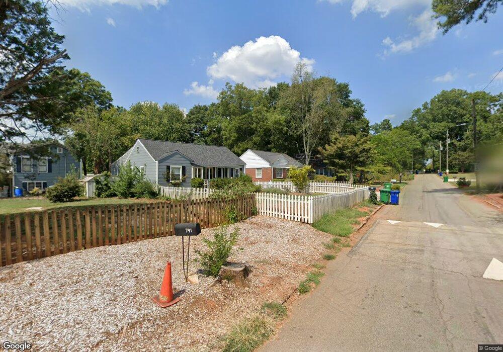
- 791 Livingston Place
- 2782 Craigie Ave
- 784 Brown Place
- 771 Livingston Place
- 778 Brown Place
- 784 Livingstone Place
- 780 Livingston Place
- 0 Craigie Ave Unit 8313464
- 0 Craigie Ave Unit 8200089
- 0 Craigie Ave Unit 8938295
- 0 Craigie Ave Unit 3106291
- 0 Craigie Ave Unit 3196008
- 0 Craigie Ave Unit 3269587
- 0 Craigie Ave Unit 7014693
- 0 Craigie Ave Unit 7025494
- 0 Craigie Ave Unit 7038421