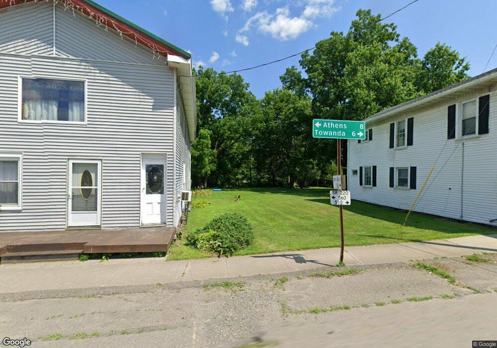
783 McKale Rd Ulster, PA 18850
Estimated Value: $237,000 - $275,000
2
Beds
3
Baths
--
Sq Ft
3
Acres
About This Home
This home is located at 783 McKale Rd, Ulster, PA 18850 and is currently estimated at $264,948. 783 McKale Rd is a home located in Bradford County with nearby schools including Athens Area High School.
Ownership History
Date
Name
Owned For
Owner Type
Purchase Details
Closed on
Jul 21, 2021
Sold by
Cobb Sheryl D
Bought by
Lpr Energy Llc
Current Estimated Value
Purchase Details
Closed on
Jun 23, 2020
Sold by
Bidlak Duane B
Bought by
Bidlak Jarrett and Bidlak Beth M
Home Financials for this Owner
Home Financials are based on the most recent Mortgage that was taken out on this home.
Original Mortgage
$132,000
Interest Rate
3.2%
Mortgage Type
New Conventional
Purchase Details
Closed on
Nov 29, 2011
Sold by
Cobb Sheryl D
Bought by
Bidlack Duane B
Home Financials for this Owner
Home Financials are based on the most recent Mortgage that was taken out on this home.
Original Mortgage
$102,000
Interest Rate
4.01%
Mortgage Type
Future Advance Clause Open End Mortgage
Purchase Details
Closed on
Nov 16, 2005
Sold by
Faria Sixdeniel
Bought by
Faria Daniel
Create a Home Valuation Report for This Property
The Home Valuation Report is an in-depth analysis detailing your home's value as well as a comparison with similar homes in the area
Home Values in the Area
Average Home Value in this Area
Purchase History
| Date | Buyer | Sale Price | Title Company |
|---|---|---|---|
| Lpr Energy Llc | $4,500 | None Available | |
| Bidlak Jarrett | $165,000 | First Abstract Agency | |
| Bidlack Duane B | $128,000 | None Available | |
| Faria Daniel | -- | None Available |
Source: Public Records
Mortgage History
| Date | Status | Borrower | Loan Amount |
|---|---|---|---|
| Previous Owner | Bidlak Jarrett | $132,000 | |
| Previous Owner | Bidlack Duane B | $102,000 |
Source: Public Records
Tax History Compared to Growth
Tax History
| Year | Tax Paid | Tax Assessment Tax Assessment Total Assessment is a certain percentage of the fair market value that is determined by local assessors to be the total taxable value of land and additions on the property. | Land | Improvement |
|---|---|---|---|---|
| 2025 | $3,661 | $51,950 | $0 | $0 |
| 2024 | $3,583 | $51,950 | $0 | $0 |
| 2023 | $3,583 | $51,950 | $0 | $0 |
| 2022 | $3,583 | $51,950 | $0 | $0 |
| 2021 | $2,262 | $32,800 | $0 | $0 |
| 2020 | $2,246 | $32,800 | $0 | $0 |
| 2019 | $2,246 | $32,800 | $0 | $0 |
| 2018 | $2,229 | $32,800 | $0 | $0 |
| 2017 | $2,229 | $32,800 | $0 | $0 |
| 2016 | -- | $32,800 | $0 | $0 |
| 2015 | -- | $32,800 | $0 | $0 |
| 2014 | $1,152 | $32,800 | $0 | $0 |
Source: Public Records
Map
Nearby Homes
- 000 Mary Mac Rd
- 4535 Covered Bridge Rd
- 1053 Hornbrook Rd
- 99 Wallyworld Ln
- 20488 Route 6
- 208 2nd St
- 535 Cash Creek Rd
- 6007 Ulster Rd
- 604-618 Reuter Blvd
- 71 Hillcrest Dr
- 571 Hillcrest Dr
- 5530 Sheshequin Rd
- 95 Starling Ln
- 8 Kingsbury Ave
- 34 Pratt Ave
- 19 Huston St
- 207 York Ave
- 207 William St
- 200 William St
- 108 Chestnut St
