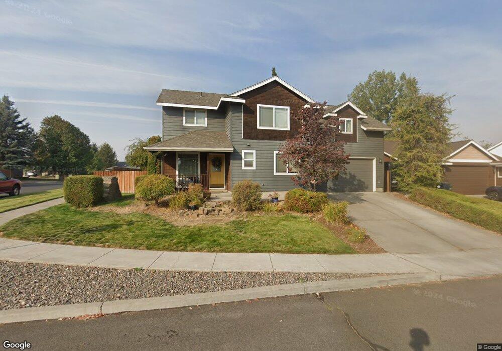
783 NE Robin Ct Bend, OR 97701
Mountain View NeighborhoodEstimated Value: $555,000 - $667,000
3
Beds
3
Baths
2,004
Sq Ft
$299/Sq Ft
Est. Value
About This Home
This home is located at 783 NE Robin Ct, Bend, OR 97701 and is currently estimated at $598,561, approximately $298 per square foot. 783 NE Robin Ct is a home located in Deschutes County with nearby schools including Buckingham Elementary School, Pilot Butte Middle School, and Mountain View Senior High School.
Ownership History
Date
Name
Owned For
Owner Type
Purchase Details
Closed on
Dec 23, 2008
Sold by
Grossman Joshua S and Grossman Michelle D
Bought by
Evans Robert A and Evans Sara G
Current Estimated Value
Home Financials for this Owner
Home Financials are based on the most recent Mortgage that was taken out on this home.
Original Mortgage
$179,199
Outstanding Balance
$117,747
Interest Rate
6.1%
Mortgage Type
Unknown
Estimated Equity
$480,814
Purchase Details
Closed on
Nov 22, 2005
Sold by
Miller Gail A and Miller Jeanie K
Bought by
Grossman Joshua S and Grossman Michelle D
Home Financials for this Owner
Home Financials are based on the most recent Mortgage that was taken out on this home.
Original Mortgage
$262,320
Interest Rate
6.87%
Mortgage Type
Fannie Mae Freddie Mac
Create a Home Valuation Report for This Property
The Home Valuation Report is an in-depth analysis detailing your home's value as well as a comparison with similar homes in the area
Home Values in the Area
Average Home Value in this Area
Purchase History
| Date | Buyer | Sale Price | Title Company |
|---|---|---|---|
| Evans Robert A | $199,111 | Amerititle | |
| Grossman Joshua S | $327,900 | Amerititle |
Source: Public Records
Mortgage History
| Date | Status | Borrower | Loan Amount |
|---|---|---|---|
| Open | Evans Robert A | $179,199 | |
| Previous Owner | Grossman Joshua S | $262,320 |
Source: Public Records
Tax History
| Year | Tax Paid | Tax Assessment Tax Assessment Total Assessment is a certain percentage of the fair market value that is determined by local assessors to be the total taxable value of land and additions on the property. | Land | Improvement |
|---|---|---|---|---|
| 2025 | $3,847 | $227,670 | -- | -- |
| 2024 | $3,701 | $221,040 | -- | -- |
| 2023 | $3,431 | $214,610 | $0 | $0 |
| 2022 | $3,201 | $202,300 | $0 | $0 |
| 2021 | $3,206 | $196,410 | $0 | $0 |
| 2020 | $3,042 | $196,410 | $0 | $0 |
| 2019 | $2,957 | $190,690 | $0 | $0 |
| 2018 | $2,873 | $185,140 | $0 | $0 |
| 2017 | $2,789 | $179,750 | $0 | $0 |
| 2016 | $2,660 | $174,520 | $0 | $0 |
| 2015 | $2,586 | $169,440 | $0 | $0 |
| 2014 | $2,510 | $164,510 | $0 | $0 |
Source: Public Records
Map
Nearby Homes
- 804 NE Providence Dr
- 21430 E Highway 20
- 955 NE Locksley Dr
- 21517 O'Connor Way
- 21426 Livingston Dr Unit 18
- 21495 O'Connor Way
- 21505 O'Connor Way
- 21499O 'Connor Way
- 61077 NE Unity Place
- 21493 O'Connor Way
- 21432 Livingston Dr
- 21428 Livingston Dr
- 21430 Livingston Dr
- 21439 Livingston Dr
- 21503 O'Connor Way
- 21545 NE Gather Place
- 21537 NE Gather Place
- 21501 O'Connor Way
- 21497 O'Connor Way
- 61083 NE Give Place Unit 65
- 805 NE Robin Ct
- 3210 NE Hampton Ln
- 697 NE Shirley Ct
- 827 NE Robin Ct
- 806 NE Robin Ct
- 826 NE Providence Dr
- 698 NE Shirley Ct
- 849 NE Robin Ct
- 685 NE Shirley Ct
- 684 NE Providence Dr
- 848 NE Providence Dr
- 850 NE Robin Ct
- 771 NE Providence Dr
- 793 NE Providence Dr
- 686 NE Shirley Ct
- 815 NE Providence Dr
- 663 NE Shirley Ct
- 680 NE Providence Dr
Your Personal Tour Guide
Ask me questions while you tour the home.