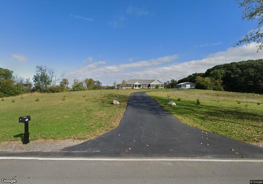
783 W Division Rd Crown Point, IN 46307
Porter County NeighborhoodEstimated Value: $375,000 - $795,590
3
Beds
3
Baths
2,126
Sq Ft
$270/Sq Ft
Est. Value
About This Home
This home is located at 783 W Division Rd, Crown Point, IN 46307 and is currently estimated at $573,530, approximately $269 per square foot. 783 W Division Rd is a home with nearby schools including Union Township Middle School and Wheeler High School.
Ownership History
Date
Name
Owned For
Owner Type
Purchase Details
Closed on
Apr 10, 2020
Sold by
Mcarthur Brett Cameron
Bought by
Mcarthur Brett Cameron and Kapsos Kim Marie
Current Estimated Value
Home Financials for this Owner
Home Financials are based on the most recent Mortgage that was taken out on this home.
Original Mortgage
$517,500
Outstanding Balance
$455,672
Interest Rate
3.2%
Mortgage Type
Small Business Administration
Estimated Equity
$117,858
Purchase Details
Closed on
Jul 25, 2017
Sold by
Reed David and Gudas Christine
Bought by
Mcarthur Brett Cameron
Home Financials for this Owner
Home Financials are based on the most recent Mortgage that was taken out on this home.
Original Mortgage
$108,000
Interest Rate
3.91%
Mortgage Type
New Conventional
Create a Home Valuation Report for This Property
The Home Valuation Report is an in-depth analysis detailing your home's value as well as a comparison with similar homes in the area
Home Values in the Area
Average Home Value in this Area
Purchase History
| Date | Buyer | Sale Price | Title Company |
|---|---|---|---|
| Mcarthur Brett Cameron | -- | Fidelity National Title | |
| Mcarthur Brett Cameron | -- | Fidelity Natl Title Co |
Source: Public Records
Mortgage History
| Date | Status | Borrower | Loan Amount |
|---|---|---|---|
| Open | Mcarthur Brett Cameron | $517,500 | |
| Previous Owner | Mcarthur Brett Cameron | $108,000 |
Source: Public Records
Tax History Compared to Growth
Tax History
| Year | Tax Paid | Tax Assessment Tax Assessment Total Assessment is a certain percentage of the fair market value that is determined by local assessors to be the total taxable value of land and additions on the property. | Land | Improvement |
|---|---|---|---|---|
| 2024 | $6,251 | $729,300 | $77,100 | $652,200 |
| 2023 | $5,226 | $630,200 | $66,800 | $563,400 |
| 2022 | $5,226 | $580,900 | $64,800 | $516,100 |
| 2021 | $3,992 | $9,400 | $9,400 | $0 |
| 2020 | $128 | $9,300 | $9,300 | $0 |
| 2019 | $211 | $11,400 | $11,400 | $0 |
| 2018 | $326 | $11,700 | $11,700 | $0 |
Source: Public Records
Map
Nearby Homes
- 10111 County Line Rd
- 760 W 50 N Unit 1
- 9192 Michigan Dr
- 730 Ketill Trace
- 36 Levanno Dr
- 726 Ketill Trace
- 724 Ketill Trace
- 738 Ketill Trace
- 46 Levanno Dr
- 9110 Doubletree Dr N
- 740 Ketill Trail
- 729 Ketill Trace
- 735 Ketill Trace
- 720 Ketill Trace
- 39 Levanno Dr
- 739 Ketill Trace
- 717 Ketill Trace
- 56 Micala Dr
- 57 Micala Dr
- 50 Morena Terrace
- 773 W Division Rd
- 742 Davidano Ct
- 744 Davidano Ct
- 765 W Division Rd
- 702 W Division Rd
- 728 W Division Rd
- 730 W Division Rd
- 734 W Division Rd
- 742 W Division Rd
- 748 W Division Rd
- 679 W Division Rd
- 719 W Division Rd
- 721 W Division Rd
- 727 W Division Rd
- 735 W Division Rd
- 743 W Division Rd
- 712 W Division Rd
- 749 W Division Rd
- 749 W Division Rd
- 196 N County Line Rd