7830 Tay River Ct Las Vegas, NV 89166
La Madre Foothills NeighborhoodEstimated Value: $380,000 - $430,000
3
Beds
3
Baths
1,661
Sq Ft
$245/Sq Ft
Est. Value
About This Home
This home is located at 7830 Tay River Ct, Las Vegas, NV 89166 and is currently estimated at $407,688, approximately $245 per square foot. 7830 Tay River Ct is a home located in Clark County with nearby schools including Henry & Evelyn Bozarth Elementary School, Edmundo "Eddie" Escobedo, Sr. Middle School, and Arbor View High School.
Ownership History
Date
Name
Owned For
Owner Type
Purchase Details
Closed on
Jun 10, 2015
Sold by
Rollo Brandy
Bought by
Rollo Jeffrey
Current Estimated Value
Purchase Details
Closed on
Jul 21, 2008
Sold by
Kb Home Nevada Inc
Bought by
Rollo Jeffrey and Rollo Brandy
Home Financials for this Owner
Home Financials are based on the most recent Mortgage that was taken out on this home.
Original Mortgage
$85,000
Outstanding Balance
$55,499
Interest Rate
6.31%
Mortgage Type
Unknown
Estimated Equity
$352,189
Create a Home Valuation Report for This Property
The Home Valuation Report is an in-depth analysis detailing your home's value as well as a comparison with similar homes in the area
Home Values in the Area
Average Home Value in this Area
Purchase History
| Date | Buyer | Sale Price | Title Company |
|---|---|---|---|
| Rollo Jeffrey | $184,990 | None Available | |
| Rollo Jeffrey | $184,990 | First American Title Howard |
Source: Public Records
Mortgage History
| Date | Status | Borrower | Loan Amount |
|---|---|---|---|
| Open | Rollo Jeffrey | $85,000 |
Source: Public Records
Tax History Compared to Growth
Tax History
| Year | Tax Paid | Tax Assessment Tax Assessment Total Assessment is a certain percentage of the fair market value that is determined by local assessors to be the total taxable value of land and additions on the property. | Land | Improvement |
|---|---|---|---|---|
| 2025 | $1,710 | $109,371 | $31,500 | $77,871 |
| 2024 | $1,661 | $109,371 | $31,500 | $77,871 |
| 2023 | $1,661 | $107,140 | $33,950 | $73,190 |
| 2022 | $1,612 | $93,421 | $26,600 | $66,821 |
| 2021 | $1,565 | $87,583 | $24,150 | $63,433 |
| 2020 | $1,517 | $86,891 | $24,150 | $62,741 |
| 2019 | $1,473 | $82,824 | $21,350 | $61,474 |
| 2018 | $1,430 | $75,986 | $17,150 | $58,836 |
| 2017 | $2,300 | $70,175 | $15,400 | $54,775 |
| 2016 | $1,355 | $60,141 | $11,550 | $48,591 |
| 2015 | $1,351 | $48,854 | $9,800 | $39,054 |
| 2014 | -- | $40,141 | $7,000 | $33,141 |
Source: Public Records
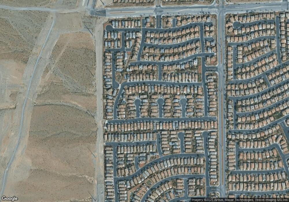
Map
Nearby Homes
- 10825 Beach House Ave
- 7823 Granite City Ct
- 10818 Hunters Green Ave
- 10847 Iona Island Ave
- 10737 Bayview House Ave
- 10834 Hunters Green Ave
- 7815 Shingle Beach St
- 10841 Hunters Green Ave
- 7772 Houston Peak St
- 7745 Donner Peak St
- 10625 Thor Mountain Ln
- 10664 Mount Jefferson Ave
- 10612 Capitol Peak Ave
- 8036 Foxfield Springs St
- 10809 Cain Ave
- 10537 Thor Mountain Ln
- 10643 Sariah Skye Ave
- 10664 Sariah Skye Ave
- 10638 Mount Blackburn Ave
- 10523 Laurel Mountain Ln
- 7826 Tay River Ct
- 7834 Tay River Ct
- 7822 Tay River Ct
- 7822 N Tay River Ct
- 7831 Brodie Castle Ct
- 7827 Brodie Castle Ct
- 7818 Tay River Ct
- 7835 Brodie Castle Ct
- 7823 Brodie Castle Ct
- 10821 Beach House Ave
- 10817 Beach House Ave
- 10817 Beach House Ave Unit na
- 10813 Beach House Ave
- 7819 Brodie Castle Ct
- 7814 Tay River Ct
- 7835 Tay River Ct
- 10829 Beach House Ave
- 10809 Beach House Ave
- 10809 Beach House Ave
- 10809 Beach House Ave Unit n/a