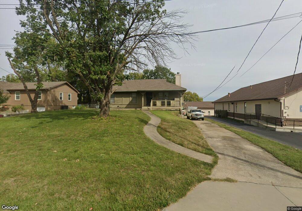
7833 Westridge Rd Raytown, MO 64138
Little Blue Valley NeighborhoodEstimated Value: $222,945 - $255,000
2
Beds
2
Baths
1,176
Sq Ft
$205/Sq Ft
Est. Value
About This Home
This home is located at 7833 Westridge Rd, Raytown, MO 64138 and is currently estimated at $241,236, approximately $205 per square foot. 7833 Westridge Rd is a home located in Jackson County with nearby schools including Robinson Elementary School, Raytown Central Middle School, and Carver Christian Academy.
Ownership History
Date
Name
Owned For
Owner Type
Purchase Details
Closed on
Jan 24, 2008
Sold by
Westridge Christian Church New Testament
Bought by
Seals William L
Current Estimated Value
Home Financials for this Owner
Home Financials are based on the most recent Mortgage that was taken out on this home.
Original Mortgage
$106,331
Outstanding Balance
$66,779
Interest Rate
6.15%
Mortgage Type
FHA
Estimated Equity
$174,457
Create a Home Valuation Report for This Property
The Home Valuation Report is an in-depth analysis detailing your home's value as well as a comparison with similar homes in the area
Home Values in the Area
Average Home Value in this Area
Purchase History
| Date | Buyer | Sale Price | Title Company |
|---|---|---|---|
| Seals William L | -- | Commonwealth Land Title Insu |
Source: Public Records
Mortgage History
| Date | Status | Borrower | Loan Amount |
|---|---|---|---|
| Open | Seals William L | $106,331 |
Source: Public Records
Tax History Compared to Growth
Tax History
| Year | Tax Paid | Tax Assessment Tax Assessment Total Assessment is a certain percentage of the fair market value that is determined by local assessors to be the total taxable value of land and additions on the property. | Land | Improvement |
|---|---|---|---|---|
| 2025 | $1,914 | $24,396 | $4,809 | $19,587 |
| 2024 | $1,914 | $21,215 | $2,267 | $18,948 |
| 2023 | $1,901 | $21,216 | $2,801 | $18,415 |
| 2022 | $2,824 | $30,020 | $4,817 | $25,203 |
| 2021 | $2,834 | $30,020 | $4,817 | $25,203 |
| 2020 | $2,729 | $28,635 | $4,817 | $23,818 |
| 2019 | $2,714 | $28,635 | $4,817 | $23,818 |
| 2018 | $2,045 | $22,347 | $2,709 | $19,638 |
| 2017 | $2,045 | $22,347 | $2,709 | $19,638 |
| 2016 | $1,897 | $20,842 | $4,697 | $16,145 |
| 2014 | $1,862 | $20,235 | $4,560 | $15,675 |
Source: Public Records
Map
Nearby Homes
- 12000 E 78th Terrace
- 8001 Westridge Rd Unit 203
- 7809 Woodson Rd
- 7539 Westridge Rd
- 11309 E 78th Terrace
- 11308 E 78th St
- 7600 Woodson Rd
- 7950/7951/7902 Frost Rd
- 11307 E 77th Terrace
- 11211 E 77th St
- 7720 Crisp Ave
- 11601 E 75th St
- 11808 E 74th Terrace
- 10912 E State Route 350
- 7411 Englewood Ln
- 10908 E 81st St
- 8324 Pershing Rd
- 7308 Crisp Ave
- 11909 E 85th St
- 11911 E 85th St
- 7823 Westridge Rd
- 11909 E 78th Terrace
- 7815 Westridge Rd
- 11905 E 78th Terrace
- 7905 Westridge Rd
- 11908 E 78th Terrace
- 12117 E 78th Terrace
- 12113 E 78th Terrace
- 11904 E 78th Terrace
- 11901 E 78th Terrace
- 7809 Westridge Rd
- 7828 Westridge Rd
- 7915 Westridge Rd
- 12121 E 78th Terrace
- 11900 E 78th Terrace
- 11813 E 78th Terrace
- 12109 E 78 Terrace
- 7824 Westridge Rd
- 7827 Irwin Rd
- 12001 E 78th Terrace