7834 Bridge Point Dr Unit 10301 Cincinnati, OH 45248
Estimated Value: $280,000 - $312,000
2
Beds
2
Baths
1,934
Sq Ft
$151/Sq Ft
Est. Value
About This Home
This home is located at 7834 Bridge Point Dr Unit 10301, Cincinnati, OH 45248 and is currently estimated at $292,970, approximately $151 per square foot. 7834 Bridge Point Dr Unit 10301 is a home located in Hamilton County with nearby schools including Charles W Springmyer Elementary School, Bridgetown Middle School, and Oak Hills High School.
Ownership History
Date
Name
Owned For
Owner Type
Purchase Details
Closed on
Dec 21, 2017
Sold by
Mcclatchey Marian
Bought by
Schmidt Erin K and Schmidt Eric J
Current Estimated Value
Home Financials for this Owner
Home Financials are based on the most recent Mortgage that was taken out on this home.
Original Mortgage
$50,000
Outstanding Balance
$42,074
Interest Rate
3.92%
Mortgage Type
New Conventional
Estimated Equity
$250,896
Create a Home Valuation Report for This Property
The Home Valuation Report is an in-depth analysis detailing your home's value as well as a comparison with similar homes in the area
Home Values in the Area
Average Home Value in this Area
Purchase History
| Date | Buyer | Sale Price | Title Company |
|---|---|---|---|
| Schmidt Erin K | $170,000 | 360 American Title Services |
Source: Public Records
Mortgage History
| Date | Status | Borrower | Loan Amount |
|---|---|---|---|
| Open | Schmidt Erin K | $50,000 |
Source: Public Records
Tax History Compared to Growth
Tax History
| Year | Tax Paid | Tax Assessment Tax Assessment Total Assessment is a certain percentage of the fair market value that is determined by local assessors to be the total taxable value of land and additions on the property. | Land | Improvement |
|---|---|---|---|---|
| 2024 | $3,782 | $74,578 | $8,750 | $65,828 |
| 2023 | $3,785 | $74,578 | $8,750 | $65,828 |
| 2022 | $3,363 | $56,162 | $8,348 | $47,814 |
| 2021 | $3,019 | $56,162 | $8,348 | $47,814 |
| 2020 | $3,058 | $56,162 | $8,348 | $47,814 |
| 2019 | $3,473 | $58,209 | $7,875 | $50,334 |
| 2018 | $3,478 | $58,209 | $7,875 | $50,334 |
| 2017 | $3,276 | $58,209 | $7,875 | $50,334 |
| 2016 | $3,190 | $56,588 | $6,580 | $50,008 |
| 2015 | $3,211 | $56,588 | $6,580 | $50,008 |
| 2014 | $3,222 | $56,588 | $6,580 | $50,008 |
| 2013 | $3,201 | $60,200 | $7,000 | $53,200 |
Source: Public Records
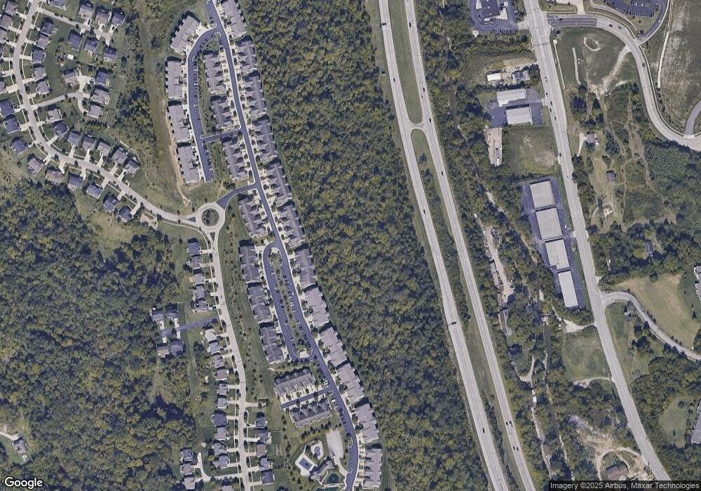
Map
Nearby Homes
- 7740 Bridge Point Dr
- 7787 Skyview Cir
- 7601 Skyview Cir
- 7981 Oakbridge Way
- 8001 Oakbridge Way
- 6998 Harrison Ave
- 5414 Jamies Oak Ct
- 6764 Verde Ridge Dr Unit 19A
- 6994 Mullen Rd
- 6911 Ruwes Oak Dr
- 6953 Carlinridge Ln
- BENNETT Plan at Janson Woods
- ASH LAWN Plan at Janson Woods
- BRENNAN Plan at Janson Woods
- VANDERBURGH Plan at Janson Woods
- STRATTON Plan at Janson Woods
- BUCHANAN Plan at Janson Woods
- ALDEN Plan at Janson Woods
- LYNDHURST Plan at Janson Woods
- SHELBURN Plan at Janson Woods
- 7828 Bridge Point Dr
- 7832 Bridge Point Dr Unit 10G3
- 7828 Bridge Point Dr Unit 10203
- 7836 Bridge Point Dr Unit 10201
- 7830 Bridge Point Dr Unit 10202
- 7822 Bridge Point Dr Unit 10204
- 7824 Bridge Point Dr Unit 10304
- 7826 Bridge Point Dr Unit 10303
- 7832 Bridge Point Dr Unit 10G3
- 7834 Bridge Point Dr Unit 10301
- 7828 Bridge Point Dr Unit 10203
- 7836 Bridge Point Dr Unit 10201
- 7830 Bridge Point Dr Unit 10202
- 7822 Bridge Point Dr Unit 10204
- 7824 Bridge Point Dr Unit 10304
- 7826 Bridge Point Dr Unit 10303
- 7832 Bridge Point Dr
- 7826 Bridge Point Dr
- 7822 Bridge Point Dr
- 7826 Bridge Point Dr