7834 Brittanny Dr NE Unit 17034 North Canton, OH 44720
Estimated Value: $154,000 - $212,000
2
Beds
2
Baths
1,155
Sq Ft
$168/Sq Ft
Est. Value
About This Home
This home is located at 7834 Brittanny Dr NE Unit 17034, North Canton, OH 44720 and is currently estimated at $193,503, approximately $167 per square foot. 7834 Brittanny Dr NE Unit 17034 is a home located in Stark County with nearby schools including Northwood Elementary School, North Canton Middle School, and Hoover High School.
Ownership History
Date
Name
Owned For
Owner Type
Purchase Details
Closed on
Jan 26, 2016
Sold by
Mulig Mulig Dennis Thomas Dennis Thomas and Mulig Schumacher Cynthia
Bought by
Mulig Gregory Steven
Current Estimated Value
Purchase Details
Closed on
Dec 9, 2004
Sold by
Johnston Nellie C and Zeager Linda K
Bought by
Mulig Yolanda M
Purchase Details
Closed on
Aug 2, 2001
Sold by
Johnston Nellie C
Bought by
Johnston Nellie C and Zeager Linda K
Create a Home Valuation Report for This Property
The Home Valuation Report is an in-depth analysis detailing your home's value as well as a comparison with similar homes in the area
Home Values in the Area
Average Home Value in this Area
Purchase History
| Date | Buyer | Sale Price | Title Company |
|---|---|---|---|
| Mulig Gregory Steven | $73,500 | Attorney | |
| Mulig Yolanda M | $128,000 | -- | |
| Johnston Nellie C | -- | -- |
Source: Public Records
Tax History Compared to Growth
Tax History
| Year | Tax Paid | Tax Assessment Tax Assessment Total Assessment is a certain percentage of the fair market value that is determined by local assessors to be the total taxable value of land and additions on the property. | Land | Improvement |
|---|---|---|---|---|
| 2025 | -- | $62,200 | $12,810 | $49,390 |
| 2024 | -- | $62,200 | $12,810 | $49,390 |
| 2023 | $2,371 | $44,310 | $8,890 | $35,420 |
| 2022 | $2,280 | $44,310 | $8,890 | $35,420 |
| 2021 | $2,199 | $44,310 | $8,890 | $35,420 |
| 2020 | $2,234 | $40,530 | $8,120 | $32,410 |
| 2019 | $2,091 | $40,540 | $8,120 | $32,420 |
| 2018 | $2,168 | $40,540 | $8,120 | $32,420 |
| 2017 | $1,728 | $33,920 | $7,630 | $26,290 |
| 2016 | $1,735 | $33,920 | $7,630 | $26,290 |
| 2015 | $1,358 | $33,920 | $7,630 | $26,290 |
| 2014 | $1,395 | $34,100 | $8,190 | $25,910 |
| 2013 | $700 | $34,060 | $8,190 | $25,870 |
Source: Public Records
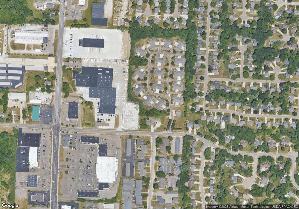
Map
Nearby Homes
- 1836 Beechwood Ave NE
- 8013 Amberly Cir NW
- 2774 Bridlewood St NW
- 2677 Radford St NW
- 7840 Newgate Ave NW
- 7831 Windbur Cir NW
- 2684 Fordham Cir NW
- 3077 Whitewood St NW
- 2626 Northam Cir NW
- 7995 Woodrush Dr NW
- 3008 Mount Pleasant St NW
- 1350 Overland Ave NE
- 2385 Oakway St NW
- 1263 Los Angeles Blvd NW
- 434 Heather Cir NE
- 1060 Park Ave NE
- 3858 Cranwood St NW
- 2315 Rutgers St NW
- 1482 Democracy Dr NW
- 3278 Sumser St NW Unit 2
- 7842 Brittanny Dr NE
- 7830 Brittanny Dr NE Unit 7830
- 7836 Brittanny Dr NE
- 7844 Brittanny Dr NE Unit 7844
- 7840 Brittanny Dr NE Unit 7840
- 7846 Brittanny Dr NE
- 7747 Brittanny Dr NE
- 3081 Orion St NW
- 7824 Brittanny Dr NE
- 7741 Brittanny Dr NE Unit 7741
- 7820 Brittanny Dr NE Unit 7820
- 7822 Brittanny Dr NE
- 7743 Brittanny Dr NE
- 7745 Brittanny Dr NE Unit 7745
- 7730 Brittanny Dr NE
- 7734 Brittanny Dr NE
- 7757 Brittanny Dr NE
- 7816 Brittanny Dr NE Unit 7816
- 7732 Brittanny Dr NE
- 7804 Brittanny Dr NE