7834 Lasher Rd Auburn, NY 13021
Estimated Value: $370,000 - $662,229
2
Beds
2
Baths
1,959
Sq Ft
$261/Sq Ft
Est. Value
About This Home
This home is located at 7834 Lasher Rd, Auburn, NY 13021 and is currently estimated at $512,076, approximately $261 per square foot. 7834 Lasher Rd is a home located in Cayuga County with nearby schools including A.A. Gates Elementary School and Port Byron Senior High School.
Ownership History
Date
Name
Owned For
Owner Type
Purchase Details
Closed on
Oct 3, 2018
Sold by
Bennett Arthur J and Devereaux Margaret A
Bought by
Margaret A Devereaux Ret
Current Estimated Value
Purchase Details
Closed on
Sep 21, 2001
Sold by
John Nichols
Bought by
Bennett Arthur J
Purchase Details
Closed on
Sep 27, 1999
Sold by
Patrick Estate
Bought by
Nichols John
Purchase Details
Closed on
Mar 22, 1994
Sold by
Patrick Elmer Eleanor
Bought by
Nichols John
Create a Home Valuation Report for This Property
The Home Valuation Report is an in-depth analysis detailing your home's value as well as a comparison with similar homes in the area
Home Values in the Area
Average Home Value in this Area
Purchase History
| Date | Buyer | Sale Price | Title Company |
|---|---|---|---|
| Margaret A Devereaux Ret | -- | -- | |
| Bennett Arthur J | $65,000 | Mark Fandrich | |
| Nichols John | -- | None | |
| Nichols John | $5,000 | -- |
Source: Public Records
Tax History Compared to Growth
Tax History
| Year | Tax Paid | Tax Assessment Tax Assessment Total Assessment is a certain percentage of the fair market value that is determined by local assessors to be the total taxable value of land and additions on the property. | Land | Improvement |
|---|---|---|---|---|
| 2024 | $9,972 | $505,400 | $176,500 | $328,900 |
| 2023 | $9,656 | $287,100 | $93,300 | $193,800 |
| 2022 | $9,488 | $287,100 | $93,300 | $193,800 |
| 2021 | $9,235 | $287,100 | $93,300 | $193,800 |
| 2020 | $8,513 | $287,100 | $93,300 | $193,800 |
| 2019 | $3,224 | $287,100 | $93,300 | $193,800 |
| 2018 | $8,431 | $287,100 | $93,300 | $193,800 |
| 2017 | $8,441 | $287,100 | $93,300 | $193,800 |
| 2016 | $8,390 | $287,100 | $93,300 | $193,800 |
| 2015 | -- | $287,100 | $93,300 | $193,800 |
| 2014 | -- | $287,100 | $93,300 | $193,800 |
Source: Public Records
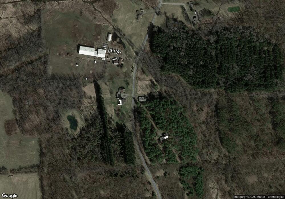
Map
Nearby Homes
- 7410 Rice Rd
- 7959 State Street Rd
- 1 Curtis St
- 5 Canal St
- 11 Canal St
- 8089 State Route 90
- 7639 State Street Rd
- 7355 Powers Rd
- 8129 High St
- 134 Main St
- 7422 Robinson Rd
- 7514 State Street Rd
- 179 Main St
- 7078 Fuller Rd
- 7413 State Street Rd
- 2223 Turnpike Rd
- 2281 Hume Ln
- 7459 Potter Rd
- 6794 Fosterville Rd
- 2408 Turnpike Rd
- 7890 Lasher Rd
- 7875 Lasher Rd
- 7855 Lasher Rd
- 7835 Lasher Rd
- 1327 Moody Rd
- 1336 Moody Rd
- 1297 Moody Rd
- 8022 Lasher Rd
- 8017 Lasher Rd
- 7695 Northrup Rd
- 8048 Lasher Rd
- 8048 Lasher Rd
- 8078 Lasher Rd
- 1525 McDonald Rd
- 000 McDonald Rd
- 0 McDonald Rd
- 0000 McDonald Rd
- 00 McDonald Rd
- 0 McDonald Rd Unit S216614
- 0 McDonald Rd Unit S279552