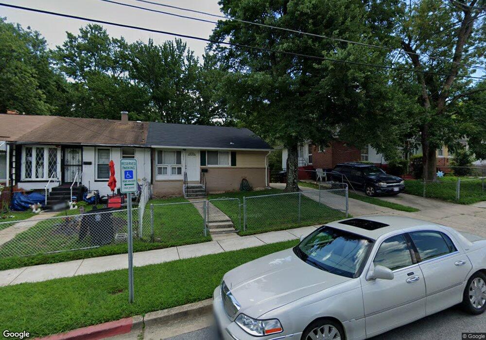
7837 Burnside Rd Hyattsville, MD 20785
Greater Landover NeighborhoodEstimated Value: $225,000 - $351,000
--
Bed
1
Bath
884
Sq Ft
$339/Sq Ft
Est. Value
About This Home
This home is located at 7837 Burnside Rd, Hyattsville, MD 20785 and is currently estimated at $299,741, approximately $339 per square foot. 7837 Burnside Rd is a home located in Prince George's County with nearby schools including William Paca Elementary School, Kenmoor Middle School, and Charles Herbert Flowers High School.
Ownership History
Date
Name
Owned For
Owner Type
Purchase Details
Closed on
Mar 11, 2003
Sold by
Dunfee Timothy L
Bought by
Parker Samantha and Robert Crawford
Current Estimated Value
Purchase Details
Closed on
Apr 22, 1996
Sold by
Secretary Of Veterans Affairs
Bought by
Dunfee Timothy L and Dunfee Virginia R
Purchase Details
Closed on
Jul 28, 1995
Sold by
Burson John S
Bought by
Veterans Admn
Create a Home Valuation Report for This Property
The Home Valuation Report is an in-depth analysis detailing your home's value as well as a comparison with similar homes in the area
Home Values in the Area
Average Home Value in this Area
Purchase History
| Date | Buyer | Sale Price | Title Company |
|---|---|---|---|
| Parker Samantha | $119,000 | -- | |
| Dunfee Timothy L | $65,000 | -- | |
| Veterans Admn | $62,174 | -- |
Source: Public Records
Tax History Compared to Growth
Tax History
| Year | Tax Paid | Tax Assessment Tax Assessment Total Assessment is a certain percentage of the fair market value that is determined by local assessors to be the total taxable value of land and additions on the property. | Land | Improvement |
|---|---|---|---|---|
| 2025 | $2,741 | $220,767 | -- | -- |
| 2024 | $2,741 | $212,133 | $0 | $0 |
| 2023 | $2,660 | $203,500 | $45,000 | $158,500 |
| 2022 | $2,527 | $188,833 | $0 | $0 |
| 2021 | $2,398 | $174,167 | $0 | $0 |
| 2020 | $2,315 | $159,500 | $45,000 | $114,500 |
| 2019 | $2,261 | $153,067 | $0 | $0 |
| 2018 | $2,197 | $146,633 | $0 | $0 |
| 2017 | $2,144 | $140,200 | $0 | $0 |
| 2016 | -- | $132,900 | $0 | $0 |
| 2015 | $2,032 | $125,600 | $0 | $0 |
| 2014 | $2,032 | $118,300 | $0 | $0 |
Source: Public Records
Map
Nearby Homes
- 7850 Burnside Rd
- 1909 Palmer Park Rd
- 2010 Ray Leonard Rd
- 2014 Barlowe Place
- 8001 Barlowe Rd
- 1911 Ray Leonard Rd
- 7708 Bender Rd
- 7905 Greenleaf Rd
- 8135 Allendale Dr
- 7722 Penbrook Place
- 1710 Allendale Place
- 7805 Oxman Rd
- 7600 Normandy Rd
- 7624 Oxman Rd
- 1859 Dutch Village Dr Unit J-287
- 1748 Dutch Village Dr Unit O-377
- 1842 Dutch Village Dr Unit R-264
- 7736 Oxman Rd
- 1760 Dutch Village Dr
- 1909 Dutch Village Dr Unit I-234
- 7839 Burnside Rd
- 7835 Burnside Rd
- 7841 Burnside Rd
- 7833 Burnside Rd
- 7843 Burnside Rd
- 7831 Burnside Rd
- 7845 Burnside Rd
- 7829 Burnside Rd
- 7847 Burnside Rd
- 7827 Burnside Rd
- 7849 Burnside Rd
- 7836 Burnside Rd
- 7838 Burnside Rd
- 7832 Burnside Rd
- 7840 Burnside Rd
- 7825 Burnside Rd
- 7851 Burnside Rd
- 7844 Burnside Rd
- 7824 Burnside Rd
- 7846 Burnside Rd