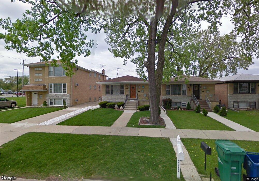
7838 Lorel Ave Burbank, IL 60459
Estimated Value: $275,000 - $354,000
3
Beds
1
Bath
1,104
Sq Ft
$280/Sq Ft
Est. Value
About This Home
This home is located at 7838 Lorel Ave, Burbank, IL 60459 and is currently estimated at $309,446, approximately $280 per square foot. 7838 Lorel Ave is a home located in Cook County with nearby schools including J.B. Kennedy Elementary School, Reavis High School, and St Albert the Great Catholic School.
Ownership History
Date
Name
Owned For
Owner Type
Purchase Details
Closed on
Jun 29, 2013
Sold by
Nieto Antonio and Nieto Antonio G
Bought by
Ancira Cindy
Current Estimated Value
Purchase Details
Closed on
Nov 21, 1994
Sold by
Chicago Title & Trust Company
Bought by
Nieto G Antonio and Nieto Celina
Home Financials for this Owner
Home Financials are based on the most recent Mortgage that was taken out on this home.
Original Mortgage
$65,000
Interest Rate
9.06%
Create a Home Valuation Report for This Property
The Home Valuation Report is an in-depth analysis detailing your home's value as well as a comparison with similar homes in the area
Home Values in the Area
Average Home Value in this Area
Purchase History
| Date | Buyer | Sale Price | Title Company |
|---|---|---|---|
| Ancira Cindy | -- | None Available | |
| Nieto G Antonio | $133,000 | Ticor Title |
Source: Public Records
Mortgage History
| Date | Status | Borrower | Loan Amount |
|---|---|---|---|
| Previous Owner | Nieto G Antonio | $65,000 |
Source: Public Records
Tax History
| Year | Tax Paid | Tax Assessment Tax Assessment Total Assessment is a certain percentage of the fair market value that is determined by local assessors to be the total taxable value of land and additions on the property. | Land | Improvement |
|---|---|---|---|---|
| 2025 | $5,595 | $24,000 | $3,591 | $20,409 |
| 2024 | $5,595 | $24,000 | $3,591 | $20,409 |
| 2023 | $3,877 | $24,000 | $3,591 | $20,409 |
| 2022 | $3,877 | $16,895 | $3,119 | $13,776 |
| 2021 | $3,776 | $16,894 | $3,118 | $13,776 |
| 2020 | $4,910 | $16,894 | $3,118 | $13,776 |
| 2019 | $5,437 | $18,603 | $2,835 | $15,768 |
| 2018 | $5,280 | $18,603 | $2,835 | $15,768 |
| 2017 | $5,125 | $18,603 | $2,835 | $15,768 |
| 2016 | $4,503 | $15,279 | $2,362 | $12,917 |
| 2015 | $4,293 | $15,279 | $2,362 | $12,917 |
| 2014 | $4,182 | $15,279 | $2,362 | $12,917 |
| 2013 | $4,653 | $18,107 | $2,362 | $15,745 |
Source: Public Records
Map
Nearby Homes
- 5120 W 79th St
- 7624 Lockwood Ave
- 8103 Long Ave
- 7808 Central Ave
- 7807 Parkside Ave
- 8110 Lockwood Ave
- 7814 Major Ave
- 5002 W 79th St
- 7772 Lavergne Ave
- 7843 Massasoit Ave
- 7714 Lavergne Ave
- 8225 Lorel Ave
- 7964 Lavergne Ave
- 5735 W 80th St
- 8254 Linder Ave
- 5822 W 79th St
- 5500 W 83rd Place
- 7836 Monitor Ave
- 5831 W 81st Place
- 5841 W 75th Place
- 7836 Lorel Ave
- 7834 Lorel Ave
- 7832 Lorel Ave
- 7832 Lorel Ave
- 5400 W 79th St
- 7830 Lorel Ave
- 7830 Lorel Ave
- 7851 Lorel Ave
- 7851 S Lorel Ave
- 7835 Lorel Ave
- 7835 Lorel Ave
- 5330 W 79th St Unit 1G
- 5330 W 79th St Unit 2-N
- 7831 Lorel Ave
- 7831 Lorel Ave
- 5353 State Rd
- 7825 Lorel Ave
- 5310 W 79th St Unit 5310
- 5310 W 79th St Unit 3
- 5310 W 79th St
Your Personal Tour Guide
Ask me questions while you tour the home.