784 Gun Club Rd Denison, TX 75021
Estimated Value: $584,000 - $803,015
3
Beds
2
Baths
3,008
Sq Ft
$231/Sq Ft
Est. Value
About This Home
This home is located at 784 Gun Club Rd, Denison, TX 75021 and is currently estimated at $693,508, approximately $230 per square foot. 784 Gun Club Rd is a home located in Grayson County with nearby schools including Terrell Elementary School, Scott Middle School, and Denison High School.
Ownership History
Date
Name
Owned For
Owner Type
Purchase Details
Closed on
Apr 19, 2011
Sold by
Harrell Robert R and Harrell Kay Daniel
Bought by
784 Gunclub Llc
Current Estimated Value
Purchase Details
Closed on
Sep 9, 2005
Sold by
Scott Stuart and Scott Jill
Bought by
Harrell Robert R and Harrell Kay Daniel
Home Financials for this Owner
Home Financials are based on the most recent Mortgage that was taken out on this home.
Original Mortgage
$411,200
Interest Rate
5.38%
Mortgage Type
Fannie Mae Freddie Mac
Create a Home Valuation Report for This Property
The Home Valuation Report is an in-depth analysis detailing your home's value as well as a comparison with similar homes in the area
Home Values in the Area
Average Home Value in this Area
Purchase History
| Date | Buyer | Sale Price | Title Company |
|---|---|---|---|
| 784 Gunclub Llc | -- | Grayson County Title | |
| Harrell Robert R | -- | -- |
Source: Public Records
Mortgage History
| Date | Status | Borrower | Loan Amount |
|---|---|---|---|
| Previous Owner | Harrell Robert R | $411,200 |
Source: Public Records
Tax History Compared to Growth
Tax History
| Year | Tax Paid | Tax Assessment Tax Assessment Total Assessment is a certain percentage of the fair market value that is determined by local assessors to be the total taxable value of land and additions on the property. | Land | Improvement |
|---|---|---|---|---|
| 2025 | $10,612 | $730,452 | $311,238 | $419,214 |
| 2024 | $10,612 | $658,631 | $237,367 | $421,264 |
| 2023 | $10,677 | $661,690 | $237,367 | $424,323 |
| 2022 | $10,890 | $631,710 | $237,367 | $394,343 |
| 2021 | $10,782 | $576,574 | $237,367 | $339,207 |
| 2020 | $10,519 | $529,735 | $236,487 | $293,248 |
| 2019 | $11,717 | $553,113 | $236,487 | $316,626 |
| 2018 | $12,228 | $571,183 | $291,600 | $279,583 |
| 2017 | $11,848 | $550,000 | $291,600 | $258,400 |
| 2016 | $13,626 | $632,536 | $273,000 | $359,536 |
| 2015 | $13,736 | $632,536 | $273,000 | $359,536 |
| 2014 | $12,918 | $594,858 | $273,000 | $321,858 |
Source: Public Records
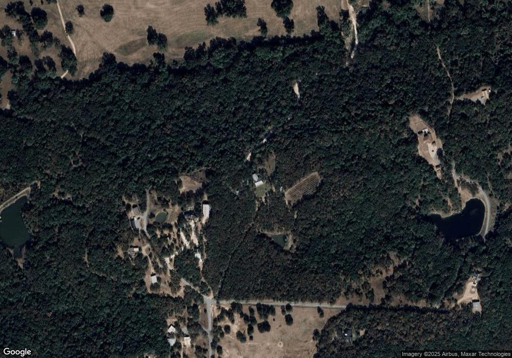
Map
Nearby Homes
- 426 Gun Club Rd
- 2550 Farm To Market Road 120
- 3091 E Fm 120
- 194 Middle Rd
- 5.92 Rd
- 4489 E Farm To Market 120
- 4489 E Fm 120
- TBD E Fm 120
- 0 Richerson Rd
- 306 E Fm 120
- TBD Singletree Rd
- 1032 E Sears St
- 2757 Fm 1753
- 54 Doty Ln
- TBD NE Fm 1753 & Singletree
- 905 E Sears St
- 901 E Sears St
- 1534 E Texas St
- 722 E Walker St
- 727 E Gandy St
- 850 Gun Club Rd
- 915 Gun Club Rd
- 873 Gun Club Rd
- 766 Gun Club Rd
- 729 Gun Club Rd
- 703 Gun Club Rd
- 674 Gun Club Rd
- 1095 Gun Club Rd
- 635 Gun Club Rd
- 770 Gun Club Rd
- 495 Gun Club Rd
- 579 Gun Club Rd
- 555 Gun Club Rd
- 517 Gun Club Rd
- 456 Gun Club Rd
- 429 Gun Club Rd
- 473 Gun Club Rd
- 550 Timber Ridge Dr
- 770 River Oaks Ln
- 690 River Oaks Ln