7842 Preston Rd Denison, TX 75020
Estimated Value: $156,709 - $425,000
--
Bed
--
Bath
1,680
Sq Ft
$173/Sq Ft
Est. Value
About This Home
This home is located at 7842 Preston Rd, Denison, TX 75020 and is currently estimated at $290,855, approximately $173 per square foot. 7842 Preston Rd is a home with nearby schools including Mayes Elementary School, Scott Middle School, and Denison High School.
Ownership History
Date
Name
Owned For
Owner Type
Purchase Details
Closed on
Jun 24, 2021
Sold by
Kaufman Gerold R and Kaufman Karen J
Bought by
Kaufman Gerold R and Kaufman Karen J
Current Estimated Value
Purchase Details
Closed on
Jun 22, 2021
Sold by
Kaufman Gerold R and Kaufman Karen J
Bought by
Kaufman Gerold R and Kaufman Karen J
Purchase Details
Closed on
Sep 30, 2020
Sold by
Chapman Janice and Estate Of Mary Alley
Bought by
Kaufman Gerald and Kaufman Karen
Purchase Details
Closed on
Sep 25, 2015
Sold by
Kaufman Eddie
Bought by
Kaufman Gerold R and Kaufman Karen
Create a Home Valuation Report for This Property
The Home Valuation Report is an in-depth analysis detailing your home's value as well as a comparison with similar homes in the area
Home Values in the Area
Average Home Value in this Area
Purchase History
| Date | Buyer | Sale Price | Title Company |
|---|---|---|---|
| Kaufman Gerold R | -- | None Available | |
| Kaufman Gerold R | -- | None Available | |
| Kaufman Gerald | -- | Affinity Title | |
| Kaufman Gerold R | -- | Red River Title Co |
Source: Public Records
Tax History Compared to Growth
Tax History
| Year | Tax Paid | Tax Assessment Tax Assessment Total Assessment is a certain percentage of the fair market value that is determined by local assessors to be the total taxable value of land and additions on the property. | Land | Improvement |
|---|---|---|---|---|
| 2025 | $1,903 | $334,731 | $117,794 | $216,937 |
| 2024 | $5,193 | $322,298 | $0 | $0 |
| 2023 | $1,907 | $292,998 | $0 | $0 |
| 2022 | $4,592 | $266,362 | $0 | $0 |
| 2021 | $4,528 | $246,123 | $71,410 | $174,713 |
| 2020 | $4,371 | $244,193 | $61,176 | $183,017 |
| 2019 | $4,239 | $200,122 | $52,926 | $147,196 |
| 2018 | $4,122 | $202,388 | $51,829 | $150,559 |
| 2017 | $3,771 | $187,481 | $46,010 | $141,471 |
| 2016 | $3,428 | $159,142 | $41,470 | $117,672 |
| 2015 | $2,418 | $166,059 | $33,147 | $132,912 |
| 2014 | -- | $122,005 | $28,781 | $93,224 |
Source: Public Records
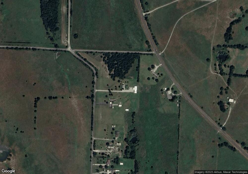
Map
Nearby Homes
- 193 Eisenhower Rd
- 000 Eisenhower Rd
- 190 Neva Ln
- Lot 1A-1 Thompson Heights Dr
- Lot 2A-1 Thompson Heights Dr
- Lot 1A-2 Thompson Heights Dr
- 5.63 acres Thompson Heights Dr
- 334 Golf Walk Cir
- 000 TBD Golf Walk Cir
- Lot 6, 1088 Waters Edge Dr
- Lot 7, 1070 Waters Edge Dr
- Lot 9, 1036 Waters Edge Dr
- Lot 10, 1014 Waters Edge Dr
- 20 Golf Walk Cir
- Lot 80 Rocky Point E Bois d Arc Rd
- Lot 2 Lakeview Dr
- 82 Sweet Gum St
- 106 Glenwood Dr
- 287 Pecan Dr
- 37 Hanna Cove Dr
- 7814 Preston Rd
- 7178 Fm 84
- 7178 Highway 84
- 7738 Preston Rd
- 000 Preston Rd
- 7688 Preston Rd
- 7668 Preston Rd
- 7634 Preston Rd
- 7620 Preston Rd
- 7540 Preston Rd
- 2830 Fm 406
- 7532 Preston Rd
- 7484 Preston Rd
- 1014 Waters Edge Dr
- 1054 Waters Edge Dr
- 7390 Preston Rd
- 7232 Preston Rd
- 885 Fm 406
- 875 Fm 406
- 7166 Preston Rd