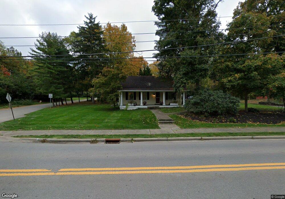
7844 Flint Rd Columbus, OH 43235
Village at Worthington NeighborhoodEstimated Value: $516,987
3
Beds
2
Baths
1,610
Sq Ft
$321/Sq Ft
Est. Value
About This Home
This home is located at 7844 Flint Rd, Columbus, OH 43235 and is currently estimated at $516,987, approximately $321 per square foot. 7844 Flint Rd is a home located in Franklin County with nearby schools including Slate Hill Elementary School, Worthingway Middle School, and Thomas Worthington High School.
Ownership History
Date
Name
Owned For
Owner Type
Purchase Details
Closed on
Jun 28, 1999
Sold by
Durham Edwin Jerry and White Marion
Bought by
Lee Ashley Marie Llc
Current Estimated Value
Home Financials for this Owner
Home Financials are based on the most recent Mortgage that was taken out on this home.
Original Mortgage
$136,000
Outstanding Balance
$34,437
Interest Rate
7.29%
Mortgage Type
Commercial
Estimated Equity
$482,550
Purchase Details
Closed on
Jan 14, 1993
Bought by
Durham Edwin J and Durham Marion W
Purchase Details
Closed on
Oct 26, 1989
Purchase Details
Closed on
Dec 1, 1985
Create a Home Valuation Report for This Property
The Home Valuation Report is an in-depth analysis detailing your home's value as well as a comparison with similar homes in the area
Home Values in the Area
Average Home Value in this Area
Purchase History
| Date | Buyer | Sale Price | Title Company |
|---|---|---|---|
| Lee Ashley Marie Llc | $186,000 | Chicago Title | |
| Durham Edwin J | -- | -- | |
| -- | $115,000 | -- | |
| -- | $121,900 | -- |
Source: Public Records
Mortgage History
| Date | Status | Borrower | Loan Amount |
|---|---|---|---|
| Open | Lee Ashley Marie Llc | $136,000 |
Source: Public Records
Tax History
| Year | Tax Paid | Tax Assessment Tax Assessment Total Assessment is a certain percentage of the fair market value that is determined by local assessors to be the total taxable value of land and additions on the property. | Land | Improvement |
|---|---|---|---|---|
| 2025 | $15,582 | $164,470 | $72,310 | $92,160 |
| 2024 | $15,582 | $164,470 | $72,310 | $92,160 |
| 2023 | $14,845 | $164,470 | $72,310 | $92,160 |
| 2022 | $9,695 | $90,900 | $30,940 | $59,960 |
| 2021 | $9,144 | $90,900 | $30,940 | $59,960 |
| 2020 | $8,866 | $90,900 | $30,940 | $59,960 |
| 2019 | $8,519 | $82,610 | $28,110 | $54,500 |
| 2018 | $8,532 | $82,610 | $28,110 | $54,500 |
| 2017 | $7,892 | $82,610 | $28,110 | $54,500 |
| 2016 | $8,741 | $86,980 | $28,110 | $58,870 |
| 2015 | $8,734 | $86,980 | $28,110 | $58,870 |
| 2014 | $8,730 | $86,980 | $28,110 | $58,870 |
| 2013 | $4,272 | $86,975 | $28,105 | $58,870 |
Source: Public Records
Map
Nearby Homes
- 93 Forest Ridge Ct
- 336 Brownsfell Dr
- 67 Highland Pointe Cir Unit 67
- 117 Lake Bluff Dr
- 101 Lake Bluff Dr
- 7784 Leaview Dr
- 8058 Flint Rd
- 8176 Lake Bluff Ct
- 297 Cover Place Unit 297
- 8050 Flint Run Place Unit 8050
- 8240 Spruce Needle Ct
- 8318 Linton Blvd Unit 8318
- 8322 Bruntsfield Rd Unit 8322
- 579 Mawyer Dr Unit 168
- 8366 Cliffthorne Way
- 8392 Cliffthorne Way
- 8397 Cliffthorne Way
- 713 Michael View Ct Unit 86
- 705 Keys View Ct Unit 67
- 722 Michael View Ct Unit 122
- 43 Forest Ridge Dr
- 7825 Flint Rd
- 7845 Flint Rd
- 55 Dunhill St
- 55 Forest Ridge Dr
- 44 Forest Ridge Dr
- 59 Dunhill St
- 7790 Flint Rd
- 7861 Flint Rd
- 7823 Flint Rd
- 56 Forest Ridge Dr
- 20 Pocono Rd
- 36 Pocono Rd
- 7888 Flint Rd
- 44 Pocono Rd
- 61 Forest Ridge Dr
- 70 Forest Ridge Dr
- 7901 Flint Rd
- 60 Pocono Rd
- 0 Forest Ridge Dr
Your Personal Tour Guide
Ask me questions while you tour the home.