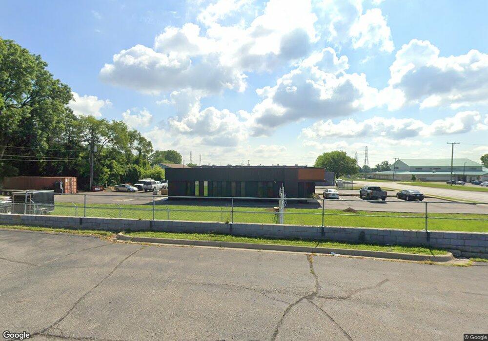
785 Auburn Ave Pontiac, MI 48342
Estimated Value: $102,376
--
Bed
--
Bath
4,260
Sq Ft
$24/Sq Ft
Est. Value
About This Home
This home is located at 785 Auburn Ave, Pontiac, MI 48342 and is currently estimated at $102,376, approximately $24 per square foot. 785 Auburn Ave is a home located in Oakland County with nearby schools including Herrington Elementary School, Pontiac Middle School, and Pontiac High School.
Ownership History
Date
Name
Owned For
Owner Type
Purchase Details
Closed on
Jan 8, 2016
Sold by
Christian Financial Credit Union
Bought by
W4 Properties Llc
Current Estimated Value
Purchase Details
Closed on
Jan 8, 2015
Sold by
Preferred Group
Bought by
Christian Financial Credit Union
Purchase Details
Closed on
Oct 4, 2004
Sold by
Allers Robert D and Allers Wanda
Bought by
Preferred Group
Purchase Details
Closed on
Dec 30, 2003
Sold by
Sudomir Michael A
Bought by
Allers Robert D and Allers Wanda
Purchase Details
Closed on
Jul 30, 2003
Sold by
Morrissey Michael L
Bought by
Family Dollar Stores Of Michigan Inc
Create a Home Valuation Report for This Property
The Home Valuation Report is an in-depth analysis detailing your home's value as well as a comparison with similar homes in the area
Home Values in the Area
Average Home Value in this Area
Purchase History
| Date | Buyer | Sale Price | Title Company |
|---|---|---|---|
| W4 Properties Llc | -- | Chirco Title Agency Inc | |
| Christian Financial Credit Union | -- | None Available | |
| Preferred Group | -- | -- | |
| Allers Robert D | -- | -- | |
| Preferred Group | $250,000 | -- | |
| Family Dollar Stores Of Michigan Inc | $55,000 | -- |
Source: Public Records
Tax History Compared to Growth
Tax History
| Year | Tax Paid | Tax Assessment Tax Assessment Total Assessment is a certain percentage of the fair market value that is determined by local assessors to be the total taxable value of land and additions on the property. | Land | Improvement |
|---|---|---|---|---|
| 2022 | $2,022 | $42,690 | $0 | $0 |
| 2021 | $2,022 | $41,410 | $0 | $0 |
| 2020 | $1,904 | $36,970 | $0 | $0 |
| 2019 | $1,930 | $35,970 | $0 | $0 |
| 2017 | $1,806 | $32,570 | $0 | $0 |
| 2015 | -- | $31,620 | $0 | $0 |
| 2014 | -- | $31,580 | $0 | $0 |
| 2011 | -- | $37,450 | $0 | $0 |
Source: Public Records
Map
Nearby Homes
- 717 E Pike St
- 53 N Midland Dr
- 88 N Astor St
- 28 S Marshall St
- 46 N Anderson Ave
- 505 Auburn Ave
- 176 S Francis Ave
- 511 E Pike St
- 291 Michigan Ave
- 389 Osmun St
- 440 Martin Luther King Junior Blvd S
- 33 S Tasmania St
- 447 S Marshall St
- 465 S Marshall St
- 18 S Shirley St
- 187 Wall St
- 328 Whittemore St
- 53 N Roselawn St
- 55 N Roselawn St
- 70 N Roselawn St
- 95 S Midland Dr
- 97 S Midland Dr
- 79 S Midland Dr
- 93 S Midland Dr
- 322 E
- 89 S Midland Dr
- 77 S Midland Dr
- 82 S Eastway Dr
- 90 S Midland Dr
- 70 S Eastway Dr
- 735 Auburn Ave
- 837 Auburn Ave
- 67 S Midland Dr
- 830 Auburn Ave
- 74 S Midland Dr
- 76 S Midland Dr
- 841 Auburn Ave
- 60 S Eastway Dr
- 66 S Midland Dr
- 71 S Eastway Dr