Estimated Value: $1,462,297
--
Bed
2
Baths
6,925
Sq Ft
$211/Sq Ft
Est. Value
About This Home
This home is located at 785 County Road 539, Alvin, TX 77511 and is currently priced at $1,462,297, approximately $211 per square foot. 785 County Road 539 is a home located in Brazoria County with nearby schools including Hood-Case Elementary School, G.W. Harby Junior High School, and Alvin High School.
Ownership History
Date
Name
Owned For
Owner Type
Purchase Details
Closed on
Sep 30, 2016
Sold by
Alvin Country Club Llc
Bought by
Sand Land Inc
Current Estimated Value
Home Financials for this Owner
Home Financials are based on the most recent Mortgage that was taken out on this home.
Original Mortgage
$680,000
Outstanding Balance
$544,628
Interest Rate
3.43%
Mortgage Type
Commercial
Create a Home Valuation Report for This Property
The Home Valuation Report is an in-depth analysis detailing your home's value as well as a comparison with similar homes in the area
Home Values in the Area
Average Home Value in this Area
Purchase History
| Date | Buyer | Sale Price | Title Company |
|---|---|---|---|
| Sand Land Inc | -- | None Available |
Source: Public Records
Mortgage History
| Date | Status | Borrower | Loan Amount |
|---|---|---|---|
| Open | Sand Land Inc | $680,000 |
Source: Public Records
Tax History Compared to Growth
Tax History
| Year | Tax Paid | Tax Assessment Tax Assessment Total Assessment is a certain percentage of the fair market value that is determined by local assessors to be the total taxable value of land and additions on the property. | Land | Improvement |
|---|---|---|---|---|
| 2025 | $12,647 | $705,470 | $178,600 | $526,870 |
| 2023 | $12,647 | $595,119 | $231,560 | $363,559 |
| 2022 | $3,684 | $172,892 | $50,129 | $122,763 |
| 2021 | $9,937 | $447,819 | $50,129 | $397,690 |
| 2020 | $19,115 | $850,000 | $452,310 | $397,690 |
| 2019 | $19,678 | $850,000 | $452,310 | $397,690 |
| 2018 | $19,728 | $850,000 | $452,310 | $397,690 |
| 2017 | $19,968 | $850,000 | $452,310 | $397,690 |
| 2016 | $16,367 | $696,730 | $102,360 | $594,370 |
| 2014 | $15,506 | $655,070 | $102,360 | $552,710 |
Source: Public Records
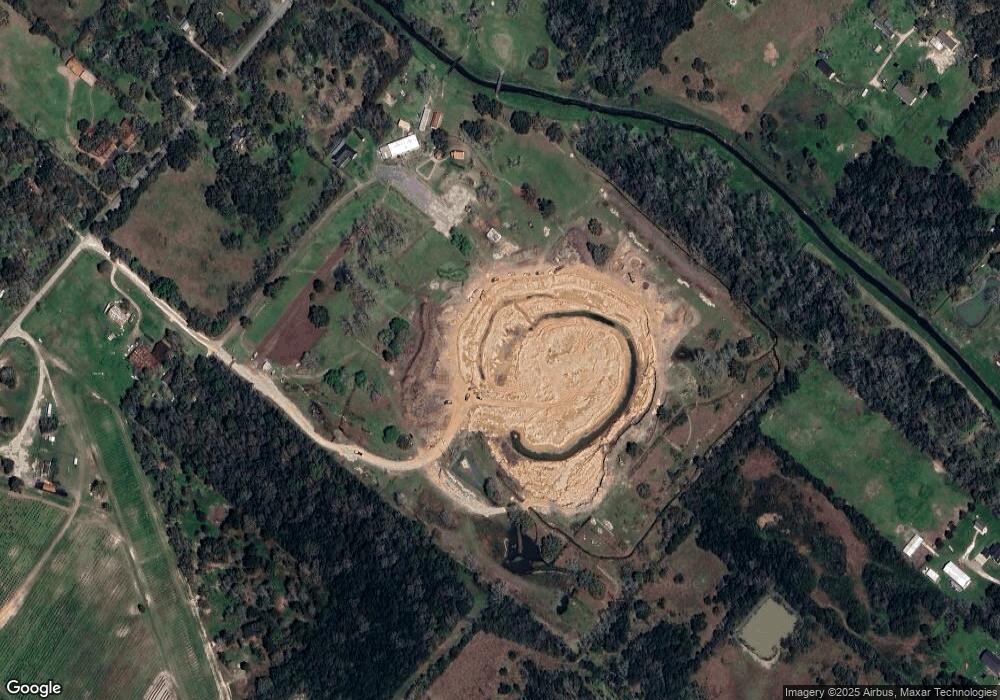
Map
Nearby Homes
- 3751 County Road 949b
- 3744 County Road 949b
- 1259 County Road 147
- 426 Riesling Dr
- 422 Riesling Dr
- 418 Riesling Dr
- 23522 Malbec Dr
- 4901 Highway 6
- 407 Riesling Dr
- 1688 County Road 144
- 23403 Malbec Dr
- 402 Merlot Dr
- 0 County Road 540
- 318 Merlot Dr
- Emerson Plan at Martha's Vineyard
- Silverthorne Plan at Martha's Vineyard
- Snowmass Plan at Martha's Vineyard
- San Marcos Plan at Martha's Vineyard
- Yuma Plan at Martha's Vineyard
- Dickinson Plan at Martha's Vineyard
- 781 County Road 539
- 772 County Road 146
- 918 County Road 146
- 839 County Road 146
- 795 County Road 146
- 1144 County Road 146
- 751 County Road 146
- 990 County Road 146
- 110 County Road 146
- 979 County Road 146
- 1011 Shroeder Ln
- 4009 Country Trails St Unit 539
- 146 County Road 146 Rd
- 1286 County Road 146
- 1028 County Road 146
- 1023 County Road 146
- 3255 County Road 145
- 3255 County Road 145
- 1011 Cr 146
- 1061 County Road 146