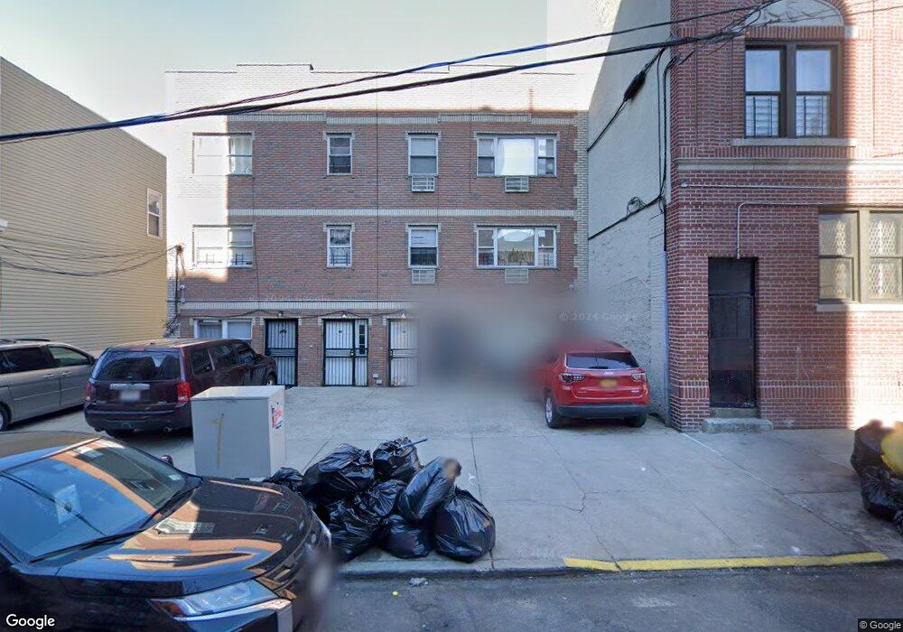
785 Garden St Bronx, NY 10460
Belmont NeighborhoodEstimated Value: $632,989 - $1,287,000
--
Bed
--
Bath
3,276
Sq Ft
$312/Sq Ft
Est. Value
About This Home
This home is located at 785 Garden St, Bronx, NY 10460 and is currently estimated at $1,023,497, approximately $312 per square foot. 785 Garden St is a home located in Bronx County with nearby schools including P.S. 032 The Belmont School and Jhs 118 William W Niles.
Ownership History
Date
Name
Owned For
Owner Type
Purchase Details
Closed on
Sep 22, 2005
Sold by
Ferri Enrico
Bought by
Moffat St Corp
Current Estimated Value
Home Financials for this Owner
Home Financials are based on the most recent Mortgage that was taken out on this home.
Original Mortgage
$350,000
Interest Rate
5.85%
Mortgage Type
Purchase Money Mortgage
Create a Home Valuation Report for This Property
The Home Valuation Report is an in-depth analysis detailing your home's value as well as a comparison with similar homes in the area
Home Values in the Area
Average Home Value in this Area
Purchase History
| Date | Buyer | Sale Price | Title Company |
|---|---|---|---|
| Moffat St Corp | -- | -- | |
| Ferri Enrico | $350,000 | -- | |
| Moffat St Corp | -- | -- | |
| Ferri Enrico | $350,000 | -- |
Source: Public Records
Mortgage History
| Date | Status | Borrower | Loan Amount |
|---|---|---|---|
| Previous Owner | Ferri Enrico | $350,000 |
Source: Public Records
Tax History Compared to Growth
Tax History
| Year | Tax Paid | Tax Assessment Tax Assessment Total Assessment is a certain percentage of the fair market value that is determined by local assessors to be the total taxable value of land and additions on the property. | Land | Improvement |
|---|---|---|---|---|
| 2025 | $8,232 | $41,299 | $6,531 | $34,768 |
| 2024 | $8,232 | $40,988 | $6,606 | $34,382 |
| 2023 | $7,853 | $38,669 | $6,563 | $32,106 |
| 2022 | $7,283 | $52,260 | $10,560 | $41,700 |
| 2021 | $7,243 | $54,840 | $10,560 | $44,280 |
| 2020 | $7,285 | $49,440 | $10,560 | $38,880 |
| 2019 | $7,145 | $45,720 | $10,560 | $35,160 |
| 2018 | $6,569 | $32,224 | $8,377 | $23,847 |
| 2017 | $6,197 | $30,400 | $8,574 | $21,826 |
| 2016 | $5,733 | $28,680 | $10,560 | $18,120 |
| 2015 | $4,906 | $29,700 | $9,000 | $20,700 |
| 2014 | $4,906 | $29,700 | $9,000 | $20,700 |
Source: Public Records
Map
Nearby Homes
- 805 E 182nd St Unit 4E
- 2139 Mapes Ave
- 731 E 181st St
- 2120 Mapes Ave Unit 1A
- 2111 Prospect Ave
- 2158 Hughes Ave
- 620 E 182nd St
- 2120 Daly Ave
- 618 E 181st St
- 2079 Honeywell Ave
- 2077 Honeywell Ave
- 782 E 179th St
- 610 E 181st St
- 818 E 179th St
- 2016 Marmion Ave Unit 2E
- 2108 Arthur Ave
- 2023 Belmont Ave Unit 5
- 2024 Hughes Ave Unit 3
- 960 E 181st St
- 2471 Crotona Ave
- 783 Garden St
- 781 Garden St
- 779 Garden St Unit 1-3
- 779 Garden St
- 1028 Grote St
- 1028 Old Kingsbridge Rd
- 795 Garden St
- 1026 Grote St
- 1026 Old Kingsbridge Rd
- 1026 Old Kingsbridge Rd
- 1024 Grote St
- 1022 Old Kingsbridge Rd
- 784 Garden St
- 786 Garden St Unit 1
- 786 Garden St
- 780 Garden St
- 788 Garden St
- 2271 Southern Blvd
- 2275 Southern Blvd
- 2277 Southern Blvd