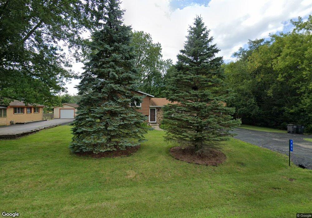
785 N Manor Dr Unit 2 Silver Lake, WI 53170
Estimated Value: $346,000 - $369,972
3
Beds
2
Baths
1,558
Sq Ft
$230/Sq Ft
Est. Value
About This Home
This home is located at 785 N Manor Dr Unit 2, Silver Lake, WI 53170 and is currently estimated at $358,743, approximately $230 per square foot. 785 N Manor Dr Unit 2 is a home located in Kenosha County with nearby schools including Riverview Elementary School and Wilmot High School.
Ownership History
Date
Name
Owned For
Owner Type
Purchase Details
Closed on
Jul 22, 2005
Sold by
Mielke Tracey A
Bought by
Arquette Leonell H and Arquette Susan L
Current Estimated Value
Home Financials for this Owner
Home Financials are based on the most recent Mortgage that was taken out on this home.
Original Mortgage
$172,900
Outstanding Balance
$90,547
Interest Rate
5.71%
Mortgage Type
New Conventional
Estimated Equity
$268,196
Purchase Details
Closed on
Mar 23, 2005
Sold by
Mielke Tracey A and Mielke Kristin
Bought by
Mielke Tracey A
Create a Home Valuation Report for This Property
The Home Valuation Report is an in-depth analysis detailing your home's value as well as a comparison with similar homes in the area
Home Values in the Area
Average Home Value in this Area
Purchase History
| Date | Buyer | Sale Price | Title Company |
|---|---|---|---|
| Arquette Leonell H | $182,000 | Blackhawk Title Services | |
| Mielke Tracey A | -- | None Available |
Source: Public Records
Mortgage History
| Date | Status | Borrower | Loan Amount |
|---|---|---|---|
| Open | Arquette Leonell H | $172,900 |
Source: Public Records
Tax History Compared to Growth
Tax History
| Year | Tax Paid | Tax Assessment Tax Assessment Total Assessment is a certain percentage of the fair market value that is determined by local assessors to be the total taxable value of land and additions on the property. | Land | Improvement |
|---|---|---|---|---|
| 2024 | $3,634 | $267,100 | $59,100 | $208,000 |
| 2023 | $3,344 | $267,100 | $59,100 | $208,000 |
| 2022 | $3,641 | $217,600 | $41,400 | $176,200 |
| 2021 | $3,612 | $217,600 | $41,400 | $176,200 |
| 2020 | $3,656 | $193,600 | $39,300 | $154,300 |
| 2019 | $3,512 | $193,600 | $39,300 | $154,300 |
| 2018 | $3,154 | $157,500 | $31,500 | $126,000 |
| 2017 | $3,916 | $157,500 | $31,500 | $126,000 |
| 2016 | $3,888 | $157,500 | $31,500 | $126,000 |
| 2015 | $3,616 | $185,200 | $48,200 | $137,000 |
| 2014 | -- | $185,200 | $48,200 | $137,000 |
Source: Public Records
Map
Nearby Homes
- 544 N Cogswell Dr
- 1010 Marti Ct
- 1215 Pryor St
- 214 S 1st St
- 115 E Depot St
- 325 W Park St
- Lt1 296th Ave
- 28314 75th St
- 27130 89th St
- 27435 93rd St
- Lt0 Wisconsin 50
- 27322 94th St
- 26625 75th St
- Lt1 96th St
- 10335 278th Ave
- 27030 97th St
- 7850 259th Ave
- 7790 259th Ave
- 7620 259th Ct
- Aspen Plan at Whitetail Ridge
- 773 N Manor Dr
- 708 E Oak St
- 748 E Oak St Unit 2
- 702 E Oak St
- 745 N Manor Dr
- 811 N Manor Dr
- 798 N Manor Dr
- 802 N Manor Dr Unit 2
- 650 E Oak St
- 774 N Manor Dr
- 782 E Oak St
- 808 N Manor Dr
- 742 N Manor Dr
- 855 N Manor Dr
- 804 E Oak St
- 707 E Oak St
- 852 N Manor Dr
- 809 N Glenwood Dr
- 731 E Oak St
- 704 N Manor Dr