Estimated Value: $949,000 - $1,617,000
2
Beds
1
Bath
450
Sq Ft
$2,510/Sq Ft
Est. Value
About This Home
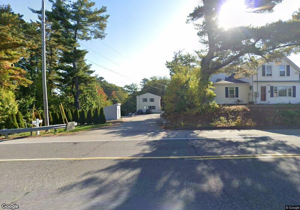
This home is located at 785 Post Rd Unit A, Wells, ME 04090 and is currently estimated at $1,129,552, approximately $2,510 per square foot. 785 Post Rd Unit A is a home located in York County with nearby schools including Wells Junior High School, Wells Elementary School, and Wells High School.
Ownership History
Date
Name
Owned For
Owner Type
Purchase Details
Closed on
Jun 10, 2021
Sold by
Kelly David L
Bought by
Rbf Properties Llc
Current Estimated Value
Home Financials for this Owner
Home Financials are based on the most recent Mortgage that was taken out on this home.
Original Mortgage
$345,000
Outstanding Balance
$310,991
Interest Rate
2.9%
Mortgage Type
Commercial
Estimated Equity
$818,561
Purchase Details
Closed on
Dec 30, 2016
Sold by
Smith Mayah M
Bought by
Grenier Donald L
Home Financials for this Owner
Home Financials are based on the most recent Mortgage that was taken out on this home.
Original Mortgage
$60,000
Interest Rate
3.94%
Mortgage Type
New Conventional
Create a Home Valuation Report for This Property
The Home Valuation Report is an in-depth analysis detailing your home's value as well as a comparison with similar homes in the area
Home Values in the Area
Average Home Value in this Area
Purchase History
| Date | Buyer | Sale Price | Title Company |
|---|---|---|---|
| Rbf Properties Llc | -- | None Available | |
| Rbf Properties Llc | -- | None Available | |
| Rbf Properties Llc | -- | None Available | |
| Grenier Donald L | -- | -- |
Source: Public Records
Mortgage History
| Date | Status | Borrower | Loan Amount |
|---|---|---|---|
| Open | Rbf Properties Llc | $345,000 | |
| Closed | Rbf Properties Llc | $345,000 | |
| Previous Owner | Grenier Donald L | $60,000 |
Source: Public Records
Tax History Compared to Growth
Tax History
| Year | Tax Paid | Tax Assessment Tax Assessment Total Assessment is a certain percentage of the fair market value that is determined by local assessors to be the total taxable value of land and additions on the property. | Land | Improvement |
|---|---|---|---|---|
| 2024 | $4,966 | $816,810 | $133,590 | $683,220 |
| 2023 | $4,868 | $816,810 | $133,590 | $683,220 |
| 2022 | $4,798 | $458,690 | $60,650 | $398,040 |
| 2021 | $4,825 | $458,690 | $60,650 | $398,040 |
| 2020 | $3,610 | $344,420 | $60,650 | $283,770 |
| 2019 | $3,589 | $344,420 | $60,650 | $283,770 |
| 2018 | $3,491 | $344,420 | $60,650 | $283,770 |
| 2017 | $3,499 | $344,420 | $60,650 | $283,770 |
| 2016 | $3,465 | $344,420 | $60,650 | $283,770 |
| 2015 | $3,427 | $344,420 | $60,650 | $283,770 |
| 2013 | $553 | $60,650 | $60,650 | $0 |
Source: Public Records
Map
Nearby Homes
- 733 Post Rd Unit 225
- 733 Post Rd Unit 126
- 46 Buffum Hill Rd
- 620 Post Rd Unit 20
- 16 Howard Ave
- 562 Post Rd
- 48 Howard Ave
- 15 Heather Ln
- 60 Merrifield Ct
- 29 Simpson St
- 231 Littlefield Rd Unit 1
- 191 Eldridge Rd
- 189 Eldridge Rd
- 1072 Post Rd Unit 131
- 1072 Post Rd Unit 111
- 835 Ocean Ave
- 813 Ocean Ave
- 63 Grenier Ln Unit 1
- 454 Post Rd Unit 305
- 430 Post Rd Unit 320
- 785 Post Rd
- 773 Post Rd
- 12, 24 & 5 Vera Ln
- 757 Post
- 0 Us Route 1 Unit 426879
- 0 Us Route 1 Unit 1332203
- 12 Vera Ln
- 2 Coral Ln Unit 10
- 2 Coral Ln
- 0 Brown Ln
- 3 Coral Ln Unit 9
- 15 Starfish Dr
- 15 Starfish Dr Unit 2
- 11 Starfish Dr
- 11 Starfish Dr Unit 1
- 18 Piper Point Rd
- 20 Brown Ln
- 762 Post Rd Unit One
- 762 Post Rd
- 59 Sea Mist Ln