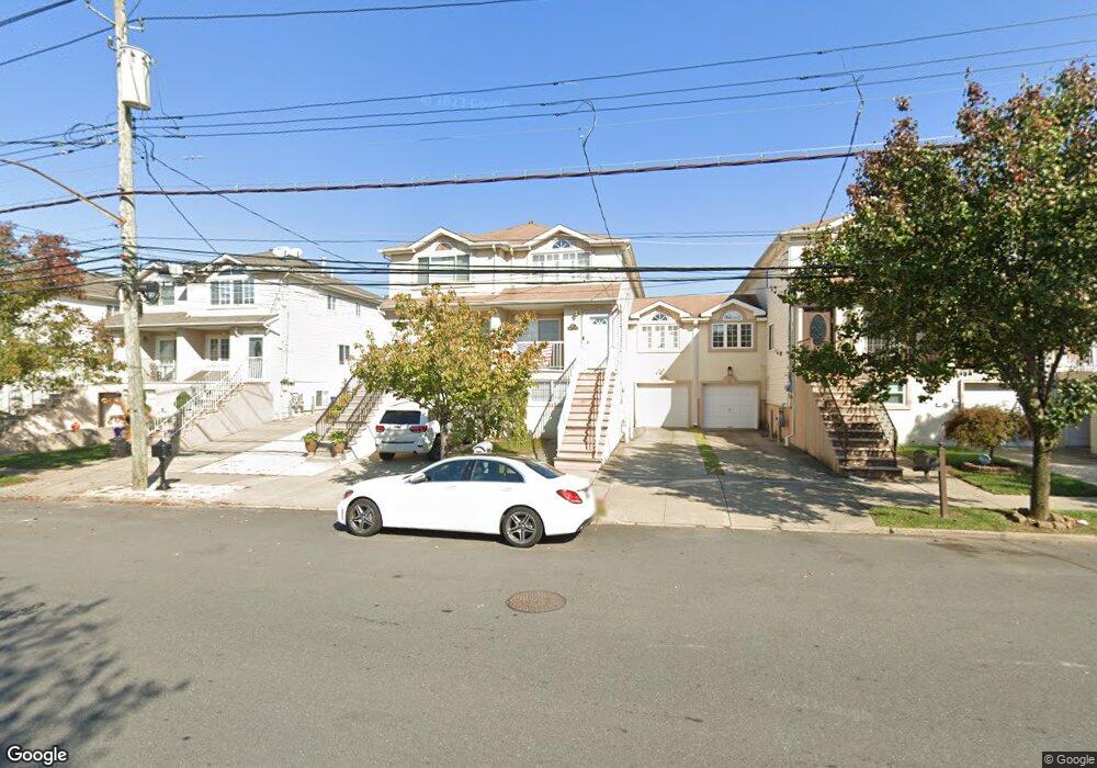
785 Rossville Ave Staten Island, NY 10309
Rossville NeighborhoodEstimated Value: $721,302 - $925,000
--
Bed
--
Bath
1,573
Sq Ft
$541/Sq Ft
Est. Value
About This Home
This home is located at 785 Rossville Ave, Staten Island, NY 10309 and is currently estimated at $851,326, approximately $541 per square foot. 785 Rossville Ave is a home located in Richmond County with nearby schools including P.S. 56 - The Louis Desario School, Is 34 Tottenville, and Tottenville High School.
Ownership History
Date
Name
Owned For
Owner Type
Purchase Details
Closed on
Jan 2, 2002
Sold by
Stern Zvi and Stern Alise
Bought by
Schiano Joseph and Musto Carol Ann
Current Estimated Value
Home Financials for this Owner
Home Financials are based on the most recent Mortgage that was taken out on this home.
Original Mortgage
$276,000
Interest Rate
6.85%
Mortgage Type
Purchase Money Mortgage
Create a Home Valuation Report for This Property
The Home Valuation Report is an in-depth analysis detailing your home's value as well as a comparison with similar homes in the area
Home Values in the Area
Average Home Value in this Area
Purchase History
| Date | Buyer | Sale Price | Title Company |
|---|---|---|---|
| Schiano Joseph | $345,000 | Commonwealth Land Title Ins |
Source: Public Records
Mortgage History
| Date | Status | Borrower | Loan Amount |
|---|---|---|---|
| Previous Owner | Schiano Joseph | $276,000 |
Source: Public Records
Tax History Compared to Growth
Tax History
| Year | Tax Paid | Tax Assessment Tax Assessment Total Assessment is a certain percentage of the fair market value that is determined by local assessors to be the total taxable value of land and additions on the property. | Land | Improvement |
|---|---|---|---|---|
| 2025 | $7,351 | $42,540 | $8,295 | $34,245 |
| 2024 | $7,351 | $36,600 | $9,642 | $26,958 |
| 2023 | $7,648 | $37,660 | $8,107 | $29,553 |
| 2022 | $7,092 | $37,560 | $9,300 | $28,260 |
| 2021 | $7,054 | $34,020 | $9,300 | $24,720 |
| 2020 | $6,693 | $31,620 | $9,300 | $22,320 |
| 2019 | $6,760 | $32,940 | $9,300 | $23,640 |
| 2018 | $6,240 | $32,070 | $8,845 | $23,225 |
| 2017 | $5,868 | $30,255 | $8,733 | $21,522 |
| 2016 | $5,396 | $28,543 | $8,726 | $19,817 |
| 2015 | $4,863 | $26,928 | $8,492 | $18,436 |
| 2014 | $4,863 | $26,928 | $8,492 | $18,436 |
Source: Public Records
Map
Nearby Homes
- 47 Hemlock St
- 230 Gervil St
- 234 Gervil St
- 132 Gervil St Unit 2ndFl
- 132 Gervil St Unit 2fl
- 739 Maguire Ave
- 735 Maguire Ave
- 740 Maguire Ave
- 736 Maguire Ave
- 732 Maguire Ave
- 728 Maguire Ave
- 71 Bombay St
- 591 Correll Ave Unit 146
- 75 Bombay St
- 79 Bombay St
- 83 Bombay St
- 87 Bombay St
- 91 Bombay St
- 39 Selkirk St
- 24 Berry Ct Unit 574
- 783 Rossville Ave
- 787 Rossville Ave
- 781 Rossville Ave
- 789 Rossville Ave
- 777 Rossville Ave
- 791 Rossville Ave
- 793 Rossville Ave
- 775 Rossville Ave
- 795 Rossville Ave
- 50 Mallow St
- 40 Mallow St
- 797 Rossville Ave
- 765 Rossville Ave
- 799 Rossville Ave
- 782 Rossville Ave
- 784 Rossville Ave
- 776 Rossville Ave
- 786 Rossville Ave
- 60 Mallow St
- 774 Rossville Ave