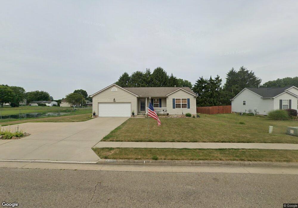
785 S Marion Ave Louisville, OH 44641
Estimated Value: $246,000 - $282,000
3
Beds
2
Baths
1,340
Sq Ft
$195/Sq Ft
Est. Value
About This Home
This home is located at 785 S Marion Ave, Louisville, OH 44641 and is currently estimated at $261,878, approximately $195 per square foot. 785 S Marion Ave is a home located in Stark County with nearby schools including Louisville High School and St. Thomas Aquinas High School & Middle School.
Ownership History
Date
Name
Owned For
Owner Type
Purchase Details
Closed on
Jun 22, 2007
Sold by
Schalmo Builders Inc
Bought by
Cole Randy N and Cole Cynthia
Current Estimated Value
Home Financials for this Owner
Home Financials are based on the most recent Mortgage that was taken out on this home.
Original Mortgage
$121,920
Interest Rate
6.71%
Mortgage Type
Purchase Money Mortgage
Create a Home Valuation Report for This Property
The Home Valuation Report is an in-depth analysis detailing your home's value as well as a comparison with similar homes in the area
Home Values in the Area
Average Home Value in this Area
Purchase History
| Date | Buyer | Sale Price | Title Company |
|---|---|---|---|
| Cole Randy N | $152,400 | None Available |
Source: Public Records
Mortgage History
| Date | Status | Borrower | Loan Amount |
|---|---|---|---|
| Closed | Cole Randy N | $121,920 |
Source: Public Records
Tax History Compared to Growth
Tax History
| Year | Tax Paid | Tax Assessment Tax Assessment Total Assessment is a certain percentage of the fair market value that is determined by local assessors to be the total taxable value of land and additions on the property. | Land | Improvement |
|---|---|---|---|---|
| 2025 | -- | $73,510 | $15,160 | $58,350 |
| 2024 | -- | $73,510 | $15,160 | $58,350 |
| 2023 | $2,819 | $65,460 | $14,320 | $51,140 |
| 2022 | $2,835 | $65,670 | $14,320 | $51,350 |
| 2021 | $2,843 | $65,670 | $14,320 | $51,350 |
| 2020 | $2,335 | $58,560 | $12,920 | $45,640 |
| 2019 | $2,412 | $60,240 | $12,920 | $47,320 |
| 2018 | $2,402 | $60,240 | $12,920 | $47,320 |
| 2017 | $2,313 | $55,930 | $11,340 | $44,590 |
| 2016 | $2,361 | $55,930 | $11,340 | $44,590 |
| 2015 | $2,368 | $55,930 | $11,340 | $44,590 |
| 2014 | $203 | $48,380 | $9,800 | $38,580 |
| 2013 | $964 | $42,320 | $9,800 | $32,520 |
Source: Public Records
Map
Nearby Homes
- 1715 High St
- 1812 E Broad St
- 641 S Nickelplate St
- 308 Superior St
- 2110 Edmar St
- 520 S Silver St
- 728 E Broad St
- 0 Michigan Blvd
- 2015 E Main St
- 908 Sand Lot Cir
- 510 S Bauman Ct
- 204 E Broad St
- 107 E Broad St
- 325 Lincoln Ave
- 3390 Meese Rd NE
- 1170 Winding Ridge Ave
- 910 Crosswyck Cir
- 1702 View Pointe Ave
- 1639 Horizon Dr
- 8225 Georgetown St
- 780 S Marion Ave
- 725 S Marion Ave
- 720 S Marion Ave
- 830 S Marion Ave
- 645 S Marion Ave
- 716 Hazel Ave
- 708 Hazel Ave
- 608 S Marion Ave
- 870 S Marion Ave
- 618 Hazel Ave
- 603 S Marion Ave
- 1714 High St
- 614 Hazel Ave
- 910 S Marion Ave
- 795 Thewes Cir
- 915 S Marion Ave
- 709 Hazel Ave
- 1724 High St
- 525 S Marion Ave
- 703 Hazel Ave