785 State Hwy Unit 10 Eastham, MA 02642
Estimated Value: $270,000 - $347,778
1
Bed
1
Bath
294
Sq Ft
$1,026/Sq Ft
Est. Value
About This Home
This home is located at 785 State Hwy Unit 10, Eastham, MA 02642 and is currently estimated at $301,695, approximately $1,026 per square foot. 785 State Hwy Unit 10 is a home located in Barnstable County with nearby schools including Eastham Elementary School, Nauset Regional Middle School, and Nauset Regional High School.
Ownership History
Date
Name
Owned For
Owner Type
Purchase Details
Closed on
Oct 29, 2010
Sold by
Scott Frank and Scott Deirdre
Bought by
Jodoin David R and Jodoin Deborah A
Current Estimated Value
Purchase Details
Closed on
Nov 7, 2008
Sold by
Crosby Deborah F
Bought by
Scott Deirdre and Scott Frank
Home Financials for this Owner
Home Financials are based on the most recent Mortgage that was taken out on this home.
Original Mortgage
$93,600
Interest Rate
6.08%
Mortgage Type
Purchase Money Mortgage
Purchase Details
Closed on
Feb 12, 2004
Sold by
Int Janus and Grady Kenneth A
Bought by
Crosby Deborah F
Home Financials for this Owner
Home Financials are based on the most recent Mortgage that was taken out on this home.
Original Mortgage
$74,320
Interest Rate
5.82%
Mortgage Type
Purchase Money Mortgage
Create a Home Valuation Report for This Property
The Home Valuation Report is an in-depth analysis detailing your home's value as well as a comparison with similar homes in the area
Home Values in the Area
Average Home Value in this Area
Purchase History
| Date | Buyer | Sale Price | Title Company |
|---|---|---|---|
| Jodoin David R | $115,700 | -- | |
| Scott Deirdre | $117,000 | -- | |
| Crosby Deborah F | $92,900 | -- |
Source: Public Records
Mortgage History
| Date | Status | Borrower | Loan Amount |
|---|---|---|---|
| Previous Owner | Scott Deirdre | $93,600 | |
| Previous Owner | Crosby Deborah F | $74,320 |
Source: Public Records
Tax History Compared to Growth
Tax History
| Year | Tax Paid | Tax Assessment Tax Assessment Total Assessment is a certain percentage of the fair market value that is determined by local assessors to be the total taxable value of land and additions on the property. | Land | Improvement |
|---|---|---|---|---|
| 2025 | $1,778 | $230,600 | $0 | $230,600 |
| 2024 | $1,454 | $207,400 | $0 | $207,400 |
| 2023 | $1,330 | $183,700 | $0 | $183,700 |
| 2022 | $1,235 | $143,900 | $0 | $143,900 |
| 2021 | $1,204 | $131,200 | $0 | $131,200 |
| 2020 | $1,191 | $136,600 | $0 | $136,600 |
| 2019 | $1,075 | $130,300 | $0 | $130,300 |
| 2018 | $1,072 | $128,400 | $0 | $128,400 |
| 2017 | $994 | $125,800 | $0 | $125,800 |
| 2016 | $891 | $119,800 | $0 | $119,800 |
| 2015 | $826 | $116,400 | $0 | $116,400 |
Source: Public Records
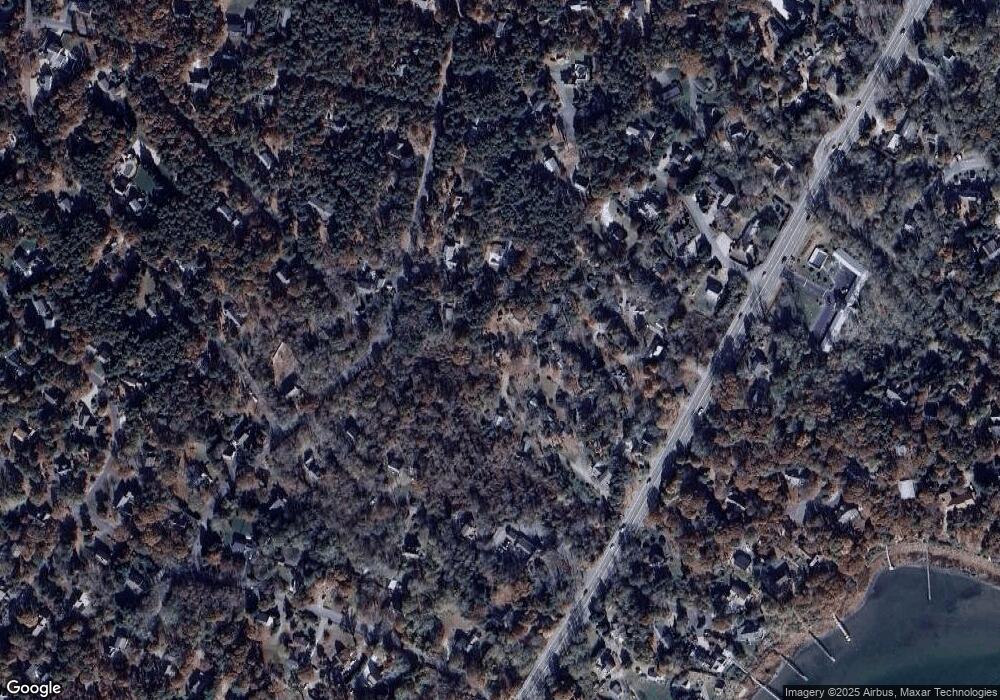
Map
Nearby Homes
- 785 State Hwy Unit 9
- 993 Intonti Way
- 995 Intonti Way
- 20 Kittiwake Ln
- 1061 State Hwy Unit 4
- 25 Twin Rocks Dr
- 20 White Pines Dr
- 30 Cove Rd
- 330 Hay Rd
- 55 Grandfathers Way
- 320 State Hwy
- 60 Smith Heights Way
- 6 Snow Way
- 46 Freeman Ln
- 6 Hathorne Ln
- 3 Bramblewood Ln
- 1975 State Hwy Unit 5
- 20 Boat Meadow Way
- 10 Cartway N
- 8 Reilly Run
- 785 State Hwy Unit 16
- 785 State Hwy Unit 14
- 785 State Hwy Unit 13
- 785 State Hwy Unit 12
- 785 State Hwy Unit 11
- 785 State Hwy Unit 2
- 785 State Hwy Unit 1
- 785 State Hwy Unit MAIN
- 785 State Hwy Unit 7
- 785 State Hwy
- 785 State Hwy Unit 8
- 785 State Hwy Unit 5
- 785 State Hwy Unit 4
- 785 State Hwy Unit 15
- 785 State Hwy Unit 6
- 15 Perkins Glen
- 5 Perkins Glen
- 885 State Hwy
- 25 Perkins Glen
- 360 S Eastham St