785 Westwood Trace Woodland Park, CO 80863
Estimated Value: $404,041 - $463,000
4
Beds
4
Baths
1,248
Sq Ft
$351/Sq Ft
Est. Value
About This Home
This home is located at 785 Westwood Trace, Woodland Park, CO 80863 and is currently estimated at $437,510, approximately $350 per square foot. 785 Westwood Trace is a home located in Teller County with nearby schools including Merit Academy, Woodland Park Junior/Senior High School, and Colorado Springs Christian School.
Ownership History
Date
Name
Owned For
Owner Type
Purchase Details
Closed on
Oct 1, 2019
Sold by
Powell David K
Bought by
Powell Capital Management Llc
Current Estimated Value
Purchase Details
Closed on
Apr 22, 2005
Sold by
Bean Gerald L
Bought by
Powell David K
Home Financials for this Owner
Home Financials are based on the most recent Mortgage that was taken out on this home.
Original Mortgage
$177,300
Outstanding Balance
$92,147
Interest Rate
5.89%
Mortgage Type
Fannie Mae Freddie Mac
Estimated Equity
$345,363
Purchase Details
Closed on
Aug 20, 2003
Sold by
Horstmar Llc
Bought by
Bean Gerald L
Create a Home Valuation Report for This Property
The Home Valuation Report is an in-depth analysis detailing your home's value as well as a comparison with similar homes in the area
Home Values in the Area
Average Home Value in this Area
Purchase History
| Date | Buyer | Sale Price | Title Company |
|---|---|---|---|
| Powell Capital Management Llc | -- | None Available | |
| Powell David K | $197,000 | -- | |
| Bean Gerald L | $199,900 | Commonwealth Title |
Source: Public Records
Mortgage History
| Date | Status | Borrower | Loan Amount |
|---|---|---|---|
| Open | Powell David K | $177,300 |
Source: Public Records
Tax History Compared to Growth
Tax History
| Year | Tax Paid | Tax Assessment Tax Assessment Total Assessment is a certain percentage of the fair market value that is determined by local assessors to be the total taxable value of land and additions on the property. | Land | Improvement |
|---|---|---|---|---|
| 2024 | $1,914 | $24,200 | $2,992 | $21,208 |
| 2023 | $1,914 | $24,200 | $2,990 | $21,210 |
| 2022 | $1,665 | $20,520 | $2,930 | $17,590 |
| 2021 | $1,704 | $21,110 | $3,010 | $18,100 |
| 2020 | $1,609 | $20,390 | $2,900 | $17,490 |
| 2019 | $1,598 | $20,390 | $0 | $0 |
| 2018 | $1,217 | $15,190 | $0 | $0 |
| 2017 | $1,219 | $15,190 | $0 | $0 |
| 2016 | $1,452 | $18,040 | $0 | $0 |
| 2015 | $1,576 | $18,040 | $0 | $0 |
| 2014 | $1,158 | $13,130 | $0 | $0 |
Source: Public Records
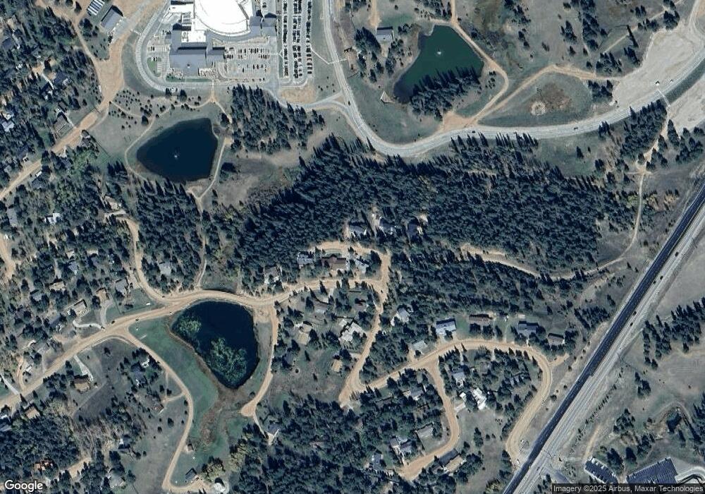
Map
Nearby Homes
- 1013 Fullview St
- 1230 Cottontail Trail
- 920 Forest Edge Rd
- 620 Chipmunk Dr
- 840 E Kellys Rd
- 1157 Forest Edge Rd
- 10 Ollie Ct
- 940 E Kelleys Rd
- 1051 Forest Hill Rd
- TBD Rolling Park Dr
- 418 N Baldwin St
- 1005 Mountain View Rd
- 401 Forest Edge Rd Unit B8
- 303 E Lake Ave
- 1320 Forest Edge Rd
- 205 N Laurel St
- 1380 Rampart Range Rd
- 222 N Laurel St Unit E
- 401 E Midland Ave
- 220 Crestwood Dr
- 783 Westwood Trace
- 787 Westwood Trace
- 781 Westwood Trace
- 710 N Park Dr
- 704 N Park Dr
- 786 Westwood Trace
- 784 Westwood Trace
- 782 Westwood Trace
- 780 Westwood Trace
- 746 Westwood Trace
- 614 N Park Dr
- 744 Westwood Trace
- 742 Westwood Trace
- 1021 Fullview St
- 711 Westwoods Trace
- 1020 Rampart Range Rd
- 740 Westwood Trace
- 610 N Park Dr
- 709 Westwood Trace
- 1020 Fullview St