7851 Cook Rd Powell, OH 43065
Concord NeighborhoodEstimated Value: $687,627 - $785,000
4
Beds
3
Baths
3,135
Sq Ft
$234/Sq Ft
Est. Value
About This Home
This home is located at 7851 Cook Rd, Powell, OH 43065 and is currently estimated at $732,907, approximately $233 per square foot. 7851 Cook Rd is a home located in Delaware County with nearby schools including Abraham Depp Elementary School, Willard Grizzell Middle School, and Dublin Jerome High School.
Ownership History
Date
Name
Owned For
Owner Type
Purchase Details
Closed on
Dec 27, 1995
Sold by
Sochor Robert J
Bought by
Delprince Robert G and Delprince Deborah J
Current Estimated Value
Home Financials for this Owner
Home Financials are based on the most recent Mortgage that was taken out on this home.
Original Mortgage
$175,000
Outstanding Balance
$4,782
Interest Rate
7.42%
Mortgage Type
New Conventional
Estimated Equity
$728,125
Create a Home Valuation Report for This Property
The Home Valuation Report is an in-depth analysis detailing your home's value as well as a comparison with similar homes in the area
Home Values in the Area
Average Home Value in this Area
Purchase History
| Date | Buyer | Sale Price | Title Company |
|---|---|---|---|
| Delprince Robert G | $294,200 | -- |
Source: Public Records
Mortgage History
| Date | Status | Borrower | Loan Amount |
|---|---|---|---|
| Open | Delprince Robert G | $175,000 |
Source: Public Records
Tax History Compared to Growth
Tax History
| Year | Tax Paid | Tax Assessment Tax Assessment Total Assessment is a certain percentage of the fair market value that is determined by local assessors to be the total taxable value of land and additions on the property. | Land | Improvement |
|---|---|---|---|---|
| 2024 | $11,309 | $201,290 | $38,680 | $162,610 |
| 2023 | $11,258 | $201,290 | $38,680 | $162,610 |
| 2022 | $8,131 | $135,560 | $27,650 | $107,910 |
| 2021 | $8,269 | $135,560 | $27,650 | $107,910 |
| 2020 | $8,300 | $135,560 | $27,650 | $107,910 |
| 2019 | $8,710 | $126,810 | $24,050 | $102,760 |
| 2018 | $8,797 | $126,810 | $24,050 | $102,760 |
| 2017 | $8,276 | $129,640 | $20,020 | $109,620 |
| 2016 | $8,637 | $129,640 | $20,020 | $109,620 |
| 2015 | $8,600 | $129,640 | $20,020 | $109,620 |
| 2014 | $8,694 | $129,640 | $20,020 | $109,620 |
| 2013 | $8,408 | $122,470 | $20,020 | $102,450 |
Source: Public Records
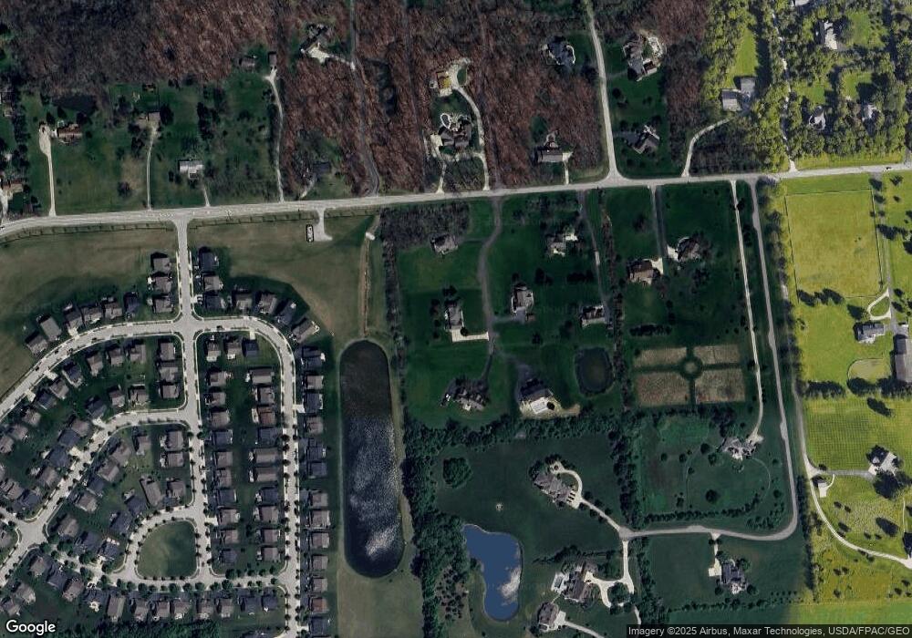
Map
Nearby Homes
- 9149 Turfway Bend Dr
- 8168 Campbell Ln
- 0 Jerome Rd
- 7140 Cook Rd
- 10614 Arrowwood Dr
- 10695 Arrowwood Dr
- 8149 Grant Dr
- 9653 Persimmon Place
- Lehigh Plan at Applewood at Jerome Village
- Citadel Plan at Applewood at Jerome Village
- Emory Plan at Applewood at Jerome Village
- Bucknell Plan at Applewood at Jerome Village
- Dartmouth Plan at Applewood at Jerome Village
- Temple Plan at Applewood at Jerome Village
- Fordham II Plan at Applewood at Jerome Village
- Vanderbilt Plan at Applewood at Jerome Village
- Northwestern Plan at Applewood at Jerome Village
- 9591 Pinewood Ct
- 10007 Allen Dr
- 7872 Sparrow Run
- 7849 Cook Rd
- 7847 Cook Rd
- 10410 Hazelnut Dr
- 10418 Hazelnut Dr
- 10402 Hazelnut Dr
- 7845 Cook Rd
- 10422 Hazelnut Dr
- 7860 Cook Rd
- 7819 Cook Rd
- 10394 Hazelnut Dr
- 10426 Hazelnut Dr
- 7815 Cook Rd
- 10388 Hazelnut Dr
- 10434 Hazelnut Dr
- 10380 Hazelnut Dr
- 10397 Hazelnut Dr
- 10407 Hazelnut Dr
- 10429 Hazelnut Dr
- 7932 Cook Rd
- 7962 Wells Rd