7851 Wehunt Rd Blue Ridge, GA 30513
Estimated Value: $1,142,000 - $4,193,000
--
Bed
--
Bath
2,603
Sq Ft
$1,203/Sq Ft
Est. Value
About This Home
This home is located at 7851 Wehunt Rd, Blue Ridge, GA 30513 and is currently estimated at $3,130,346, approximately $1,202 per square foot. 7851 Wehunt Rd is a home with nearby schools including Fannin County High School.
Ownership History
Date
Name
Owned For
Owner Type
Purchase Details
Closed on
Feb 16, 2023
Sold by
Weinzierl Carl
Bought by
Weinzierl Carl and Weinzierl Rebecca
Current Estimated Value
Purchase Details
Closed on
Jan 20, 2015
Sold by
Stinnett Laurel B
Bought by
Weinzierl Carl
Purchase Details
Closed on
May 27, 2014
Sold by
Walden Anthony
Bought by
Walden Jordan and Stinnett Laurel B
Purchase Details
Closed on
Dec 22, 2008
Sold by
Walden Anthony
Bought by
Walden Anthony and Walden Kimberly
Purchase Details
Closed on
Sep 8, 2002
Sold by
Peoples Bank
Bought by
Walden Anthony
Purchase Details
Closed on
Feb 10, 1997
Sold by
Walden Charles
Bought by
Walden Anthony
Create a Home Valuation Report for This Property
The Home Valuation Report is an in-depth analysis detailing your home's value as well as a comparison with similar homes in the area
Home Values in the Area
Average Home Value in this Area
Purchase History
| Date | Buyer | Sale Price | Title Company |
|---|---|---|---|
| Weinzierl Carl | -- | -- | |
| Weinzierl Carl | $117,000 | -- | |
| Walden Jordan | -- | -- | |
| Walden Anthony | -- | -- | |
| Walden Anthony | -- | -- | |
| Walden Anthony | -- | -- |
Source: Public Records
Tax History Compared to Growth
Tax History
| Year | Tax Paid | Tax Assessment Tax Assessment Total Assessment is a certain percentage of the fair market value that is determined by local assessors to be the total taxable value of land and additions on the property. | Land | Improvement |
|---|---|---|---|---|
| 2025 | $2,846 | $360,597 | $61,004 | $299,593 |
| 2024 | $2,846 | $360,597 | $61,004 | $299,593 |
| 2023 | $2,610 | $306,296 | $61,004 | $245,292 |
| 2022 | $3,155 | $309,516 | $61,004 | $248,512 |
| 2021 | $3,114 | $222,096 | $61,004 | $161,092 |
| 2020 | $3,166 | $222,096 | $61,004 | $161,092 |
| 2019 | $3,227 | $222,096 | $61,004 | $161,092 |
| 2018 | $3,222 | $209,126 | $48,034 | $161,092 |
| 2017 | $3,204 | $181,091 | $48,034 | $133,057 |
| 2016 | $795 | $48,034 | $48,034 | $0 |
| 2015 | $852 | $48,034 | $48,034 | $0 |
| 2014 | $1,134 | $63,716 | $63,716 | $0 |
| 2013 | -- | $63,716 | $63,716 | $0 |
Source: Public Records
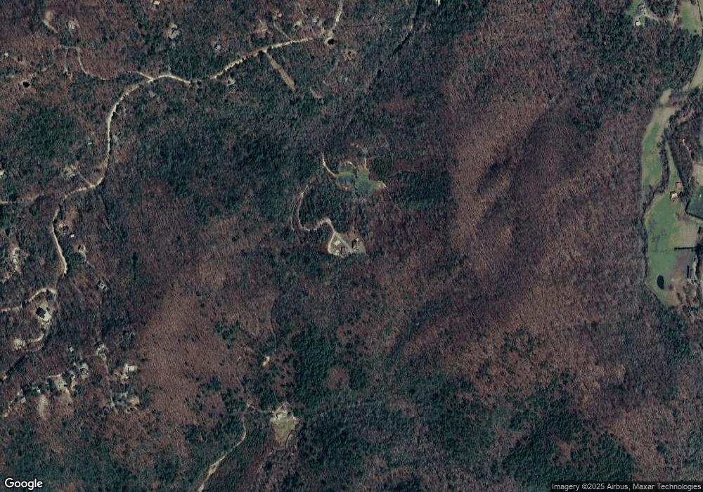
Map
Nearby Homes
- 533 Mangums Trail
- 785 Wehunt Rd
- Lot A Magnums Trail
- Lot A Magnums Trail Unit A
- 339 Wehunt Rd
- 1571 Mangums Trail
- 1655 Mangum's Trail
- Lot 6/7 Raintree Bend
- TRACT 1 Big Oak Ln
- 1160 Mangum's Trail
- 908 Cashes Valley Rd
- 281 Raintree Bend
- LOT 1 High Knee Rd
- 670 Brittney Dr
- 332 Night Ln
- 390 Sunny Brook Rd
- 2931 Highway 2
- 312 Covered Bridge Ln
- 12 Heights Overlook
- 312 Covered Bridge
- 571 Wehunt Rd
- 149 Oak Ln
- 145 Oak Ln
- 145 Oak Ln Unit 37A,38C
- 145 Oak Ln
- 125 Oak Ln
- 125 Oak Ln
- 307 Mangum's Trail Unit 31
- 533 Mangum's Trail
- 533 Mangum's Trail
- 15 Oak Ln
- 15 Oak Ln
- 557 Mangums Trail
- 557 Mangum's Trail
- 44 Mangums Trail
- 27 Prides Ridge
- Lot 39 Mangum's Trail
- 423 Wehunt Rd
- 440 Mangums Trail
- 3.3 Acre Mangum's Trail