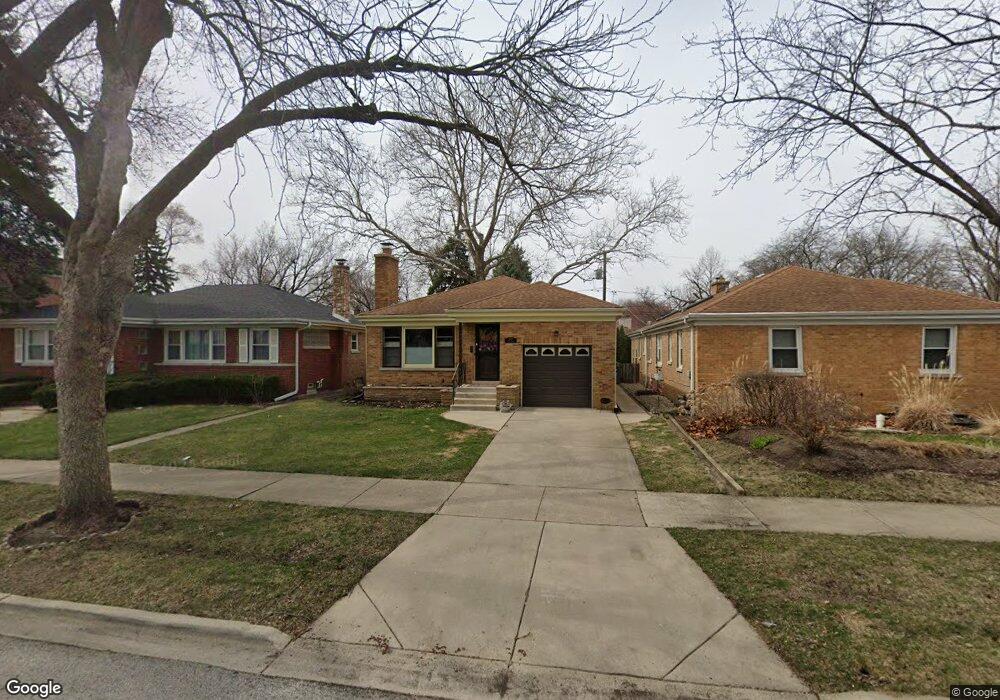
7852 N Tripp Ave Skokie, IL 60076
Southeast Skokie NeighborhoodEstimated Value: $401,000 - $412,145
2
Beds
1
Bath
1,086
Sq Ft
$373/Sq Ft
Est. Value
About This Home
This home is located at 7852 N Tripp Ave, Skokie, IL 60076 and is currently estimated at $404,536, approximately $372 per square foot. 7852 N Tripp Ave is a home located in Cook County with nearby schools including Elizabeth Meyer School, John Middleton Elementary School, and Oliver Mccracken Middle School.
Ownership History
Date
Name
Owned For
Owner Type
Purchase Details
Closed on
Oct 31, 2024
Sold by
Borges Jose Ramon Garcia and Garcia Julia M
Bought by
Garcia Revocable Trust and Borges
Current Estimated Value
Purchase Details
Closed on
Jun 25, 2024
Sold by
Cowen Susan L
Bought by
Borges Jose Ramon Garcia and Garcia Julia M
Home Financials for this Owner
Home Financials are based on the most recent Mortgage that was taken out on this home.
Original Mortgage
$270,000
Interest Rate
7.38%
Mortgage Type
New Conventional
Create a Home Valuation Report for This Property
The Home Valuation Report is an in-depth analysis detailing your home's value as well as a comparison with similar homes in the area
Home Values in the Area
Average Home Value in this Area
Purchase History
| Date | Buyer | Sale Price | Title Company |
|---|---|---|---|
| Garcia Revocable Trust | -- | None Listed On Document | |
| Borges Jose Ramon Garcia | $360,000 | Stewart Title |
Source: Public Records
Mortgage History
| Date | Status | Borrower | Loan Amount |
|---|---|---|---|
| Previous Owner | Borges Jose Ramon Garcia | $270,000 |
Source: Public Records
Tax History Compared to Growth
Tax History
| Year | Tax Paid | Tax Assessment Tax Assessment Total Assessment is a certain percentage of the fair market value that is determined by local assessors to be the total taxable value of land and additions on the property. | Land | Improvement |
|---|---|---|---|---|
| 2024 | $3,874 | $31,000 | $6,642 | $24,358 |
| 2023 | $3,936 | $31,000 | $6,642 | $24,358 |
| 2022 | $3,936 | $31,000 | $6,642 | $24,358 |
| 2021 | $6,097 | $22,973 | $4,674 | $18,299 |
| 2020 | $7,030 | $26,051 | $4,674 | $21,377 |
| 2019 | $6,977 | $28,946 | $4,674 | $24,272 |
| 2018 | $5,621 | $19,323 | $4,059 | $15,264 |
| 2017 | $5,673 | $19,323 | $4,059 | $15,264 |
| 2016 | $6,312 | $21,381 | $4,059 | $17,322 |
| 2015 | $5,963 | $18,920 | $3,444 | $15,476 |
| 2014 | $5,852 | $18,920 | $3,444 | $15,476 |
| 2013 | $5,806 | $18,920 | $3,444 | $15,476 |
Source: Public Records
Map
Nearby Homes
- 4053 Kirk St
- 4050 Harvard Terrace
- 8100 Lowell Ave
- 7842 E Prairie Rd
- 8141 Kenneth Ave
- 8130 Kenneth Ave
- 8219 Lowell Ave
- 8033 Kenton Ave Unit 2E
- 8228 Kedvale Ave
- 4019 Cleveland St
- 4454 Concord Ln
- 3818 Hull St
- 3814 Hull St
- 4555 Cleveland St
- 8253 Karlov Ave
- 7427 Tripp Ave
- 7638 Knox Ave
- 8301 Karlov Ave
- 7412 Keeler Ave
- 8231 Harding Ave