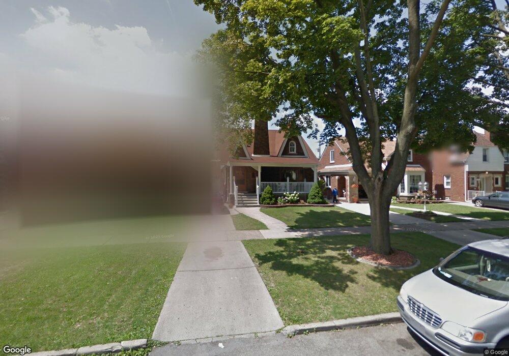
7855 W Morrow Cir Dearborn, MI 48126
Aviation NeighborhoodEstimated Value: $238,000 - $377,000
3
Beds
2
Baths
1,665
Sq Ft
$179/Sq Ft
Est. Value
About This Home
This home is located at 7855 W Morrow Cir, Dearborn, MI 48126 and is currently estimated at $298,121, approximately $179 per square foot. 7855 W Morrow Cir is a home located in Wayne County with nearby schools including McCollough-Unis School, Fordson High School, and Riverside Academy East.
Ownership History
Date
Name
Owned For
Owner Type
Purchase Details
Closed on
Jan 1, 2015
Sold by
Fahs Mehdi I
Bought by
Fahs Ibraham M
Current Estimated Value
Purchase Details
Closed on
Oct 23, 2008
Sold by
Moosavi Seyed A and Zargari Nahid
Bought by
Federal Home Loan Mortgage Corp
Purchase Details
Closed on
Jul 12, 2002
Sold by
Younes Ghassan W and Younes Wafaa
Bought by
Moosavi Seyed A
Purchase Details
Closed on
May 10, 1996
Sold by
Younes Ghassan W and Younes Wafaa
Bought by
Giordano Sam and Giordano Nancy G
Create a Home Valuation Report for This Property
The Home Valuation Report is an in-depth analysis detailing your home's value as well as a comparison with similar homes in the area
Home Values in the Area
Average Home Value in this Area
Purchase History
| Date | Buyer | Sale Price | Title Company |
|---|---|---|---|
| Fahs Ibraham M | -- | Attorney | |
| Federal Home Loan Mortgage Corp | $133,298 | None Available | |
| Moosavi Seyed A | $170,000 | Professional Real Estate Tit | |
| Giordano Sam | $106,500 | -- |
Source: Public Records
Tax History Compared to Growth
Tax History
| Year | Tax Paid | Tax Assessment Tax Assessment Total Assessment is a certain percentage of the fair market value that is determined by local assessors to be the total taxable value of land and additions on the property. | Land | Improvement |
|---|---|---|---|---|
| 2025 | $3,268 | $125,800 | $0 | $0 |
| 2024 | $3,268 | $110,800 | $0 | $0 |
| 2023 | $2,906 | $86,200 | $0 | $0 |
| 2022 | $3,346 | $88,900 | $0 | $0 |
| 2021 | $3,428 | $79,700 | $0 | $0 |
| 2019 | $3,381 | $69,000 | $0 | $0 |
| 2018 | $2,937 | $64,400 | $0 | $0 |
| 2017 | $691 | $58,700 | $0 | $0 |
| 2011 | -- | $46,850 | $0 | $0 |
Source: Public Records
Map
Nearby Homes
- 7927 Bingham St
- 7750 Morross Ct
- 12953 Tireman Ave
- 7857 Esper Blvd
- 7656 Neckel St
- 7813 Neckel St
- 7514 Calhoun St
- 7870 Oakman Blvd
- 7542 Neckel St
- 8207 Schaefer Hwy
- 8285 Cheyenne St
- 7658 Appoline St
- 7741 Miller Rd
- 8229 Carlin St
- 8155 Appoline St
- 7261 Reuter St
- 13145 Mackenzie St
- 7329 Neckel St
- 8537 Cheyenne St
- 12950 Mackenzie St
- 7847 W Morrow Cir
- 7863 W Morrow Cir
- 7841 W Morrow Cir
- 7871 W Morrow Cir
- 7854 Bingham St
- 7901 W Morrow Cir
- 7846 Bingham St
- 7902 Bingham St
- 7838 Bingham St
- 7910 Bingham St
- 7825 W Morrow Cir
- 7907 W Morrow Cir Unit Bldg-Unit
- 7907 W Morrow Cir
- 7830 Bingham St
- 7918 Bingham St
- 7822 Bingham St
- 7854 W Morrow Cir
- 7815 W Morrow Cir
- 7846 W Morrow Cir
- 7860 W Morrow Cir