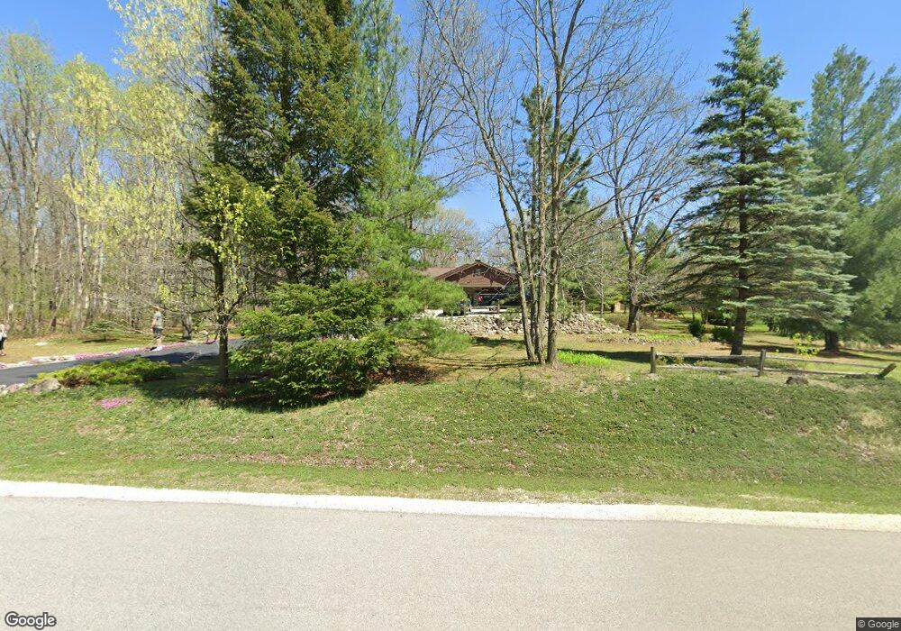
7856 Pathfinder Ln West Bend, WI 53090
Estimated Value: $458,800 - $547,000
3
Beds
2
Baths
1,704
Sq Ft
$290/Sq Ft
Est. Value
About This Home
This home is located at 7856 Pathfinder Ln, West Bend, WI 53090 and is currently estimated at $494,200, approximately $290 per square foot. 7856 Pathfinder Ln is a home located in Washington County with nearby schools including Kewaskum High School.
Ownership History
Date
Name
Owned For
Owner Type
Purchase Details
Closed on
Mar 23, 2020
Sold by
Luedke Anne and Connor James
Bought by
Falkethal Blake C
Current Estimated Value
Home Financials for this Owner
Home Financials are based on the most recent Mortgage that was taken out on this home.
Original Mortgage
$378,366
Outstanding Balance
$334,458
Interest Rate
3.4%
Mortgage Type
VA
Estimated Equity
$159,742
Purchase Details
Closed on
Oct 21, 2015
Sold by
Luedke Anne
Bought by
Connor James and Connor Lynn
Purchase Details
Closed on
May 28, 2014
Sold by
Luedke Norman W and Luedke Anne
Bought by
Luedke Chris J and Milewski Peggy
Create a Home Valuation Report for This Property
The Home Valuation Report is an in-depth analysis detailing your home's value as well as a comparison with similar homes in the area
Home Values in the Area
Average Home Value in this Area
Purchase History
| Date | Buyer | Sale Price | Title Company |
|---|---|---|---|
| Falkethal Blake C | $367,900 | Knight Barry Ttl Advantage L | |
| Connor James | -- | None Available | |
| Luedke Chris J | -- | None Available |
Source: Public Records
Mortgage History
| Date | Status | Borrower | Loan Amount |
|---|---|---|---|
| Open | Falkethal Blake C | $378,366 |
Source: Public Records
Tax History Compared to Growth
Tax History
| Year | Tax Paid | Tax Assessment Tax Assessment Total Assessment is a certain percentage of the fair market value that is determined by local assessors to be the total taxable value of land and additions on the property. | Land | Improvement |
|---|---|---|---|---|
| 2024 | $3,096 | $267,500 | $57,800 | $209,700 |
| 2023 | $3,081 | $267,500 | $57,800 | $209,700 |
| 2022 | $2,851 | $267,500 | $57,800 | $209,700 |
| 2021 | $3,000 | $267,500 | $57,800 | $209,700 |
| 2020 | $3,047 | $267,500 | $57,800 | $209,700 |
| 2019 | $2,977 | $267,500 | $57,800 | $209,700 |
| 2018 | $2,872 | $267,500 | $57,800 | $209,700 |
| 2017 | $2,925 | $267,500 | $57,800 | $209,700 |
| 2016 | $2,843 | $267,500 | $57,800 | $209,700 |
| 2015 | $3,001 | $267,500 | $57,800 | $209,700 |
| 2014 | $3,001 | $267,500 | $57,800 | $209,700 |
| 2013 | $3,359 | $267,500 | $57,800 | $209,700 |
Source: Public Records
Map
Nearby Homes
- 7855 Indian Lore Rd
- 8451 Wesley Ct
- 8414 Orchard Valley Rd
- 1814 County H
- 1118 Harbor Ct
- 1110 Harbor Ct
- 1102 Harbor Ct
- 1072 Harbor Ct
- Lt1 Orchard Valley Rd
- Lt4 Wallace Lake Rd
- 2161 Wallace Lake Rd
- 1606 Vivian Ct
- 1650 Vivian Ct
- Lt0 County Rd M
- 613 County H
- 8878 Orchard Valley Rd
- LT4 River Rd
- Lt2 N River Rd
- Lt1 N River Rd
- Lt3 N River Rd
- 7876 Pathfinder Ln
- 1511 Pathfinder Ln
- 7851 Pathfinder Ln
- 7828 Pathfinder Ln
- 7871 Pathfinder Ln
- 1522 Tomahawk Dr
- 1497 Pathfinder Ln
- 7831 Pathfinder Ln
- 7879 Pathfinder Ln
- 1526 Pathfinder Ln
- 1510 Tomahawk Dr
- 1514 Pathfinder Ln
- 1567 Willow Switch Ct
- 7885 Sundance Ln
- 1489 Pathfinder Ln
- 1580 Willow Switch Ct
- 1576 Tomahawk Dr
- 1529 Tomahawk Dr
- 1543 Tomahawk Dr
- 1511 Tomahawk Dr