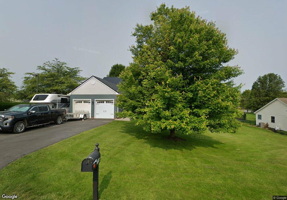
786 Alandale Dr Chambersburg, PA 17202
Estimated Value: $290,052 - $357,000
--
Bed
--
Bath
1,778
Sq Ft
$187/Sq Ft
Est. Value
About This Home
This home is located at 786 Alandale Dr, Chambersburg, PA 17202 and is currently estimated at $331,763, approximately $186 per square foot. 786 Alandale Dr is a home located in Franklin County with nearby schools including Chambersburg Area Middle School - North, Chambersburg Area Senior High School, and Montessori Academy of Chambersburg.
Ownership History
Date
Name
Owned For
Owner Type
Purchase Details
Closed on
Apr 7, 2006
Sold by
Abraham Edward L and Abraham Erica L
Bought by
Kauffman Robin E and Kauffman Debra K
Current Estimated Value
Home Financials for this Owner
Home Financials are based on the most recent Mortgage that was taken out on this home.
Original Mortgage
$125,000
Outstanding Balance
$71,750
Interest Rate
6.34%
Mortgage Type
New Conventional
Estimated Equity
$260,013
Purchase Details
Closed on
Apr 29, 2005
Sold by
Hess Timothy W
Bought by
Abraham Edward L
Home Financials for this Owner
Home Financials are based on the most recent Mortgage that was taken out on this home.
Original Mortgage
$229,491
Interest Rate
6.05%
Mortgage Type
New Conventional
Create a Home Valuation Report for This Property
The Home Valuation Report is an in-depth analysis detailing your home's value as well as a comparison with similar homes in the area
Home Values in the Area
Average Home Value in this Area
Purchase History
| Date | Buyer | Sale Price | Title Company |
|---|---|---|---|
| Kauffman Robin E | $260,000 | None Available | |
| Abraham Edward L | $226,100 | None Available |
Source: Public Records
Mortgage History
| Date | Status | Borrower | Loan Amount |
|---|---|---|---|
| Open | Kauffman Robin E | $125,000 | |
| Previous Owner | Abraham Edward L | $229,491 |
Source: Public Records
Tax History Compared to Growth
Tax History
| Year | Tax Paid | Tax Assessment Tax Assessment Total Assessment is a certain percentage of the fair market value that is determined by local assessors to be the total taxable value of land and additions on the property. | Land | Improvement |
|---|---|---|---|---|
| 2025 | $5,403 | $33,170 | $3,330 | $29,840 |
| 2024 | $5,234 | $33,170 | $3,330 | $29,840 |
| 2023 | $5,072 | $33,170 | $3,330 | $29,840 |
| 2022 | $4,953 | $33,170 | $3,330 | $29,840 |
| 2021 | $4,953 | $33,170 | $3,330 | $29,840 |
| 2020 | $4,824 | $33,170 | $3,330 | $29,840 |
| 2019 | $4,637 | $33,170 | $3,330 | $29,840 |
| 2018 | $4,464 | $33,170 | $3,330 | $29,840 |
| 2017 | $4,313 | $33,170 | $3,330 | $29,840 |
| 2016 | $950 | $33,170 | $3,330 | $29,840 |
| 2015 | $879 | $32,910 | $3,330 | $29,580 |
| 2014 | $879 | $32,910 | $3,330 | $29,580 |
Source: Public Records
Map
Nearby Homes
- 586 Crestwood Dr
- 2027 Lincoln Way E
- 162 Harvest Ln
- 158 Colonial Dr
- 1901 Lincoln Way E
- 0 Vernon Dr Unit PAFL2029168
- 1234 Thistledown Dr
- 56 Field Cir
- 107 Overhill Dr
- 347 Leedy Way E
- 248 Kolpark Dr
- 470 Overhill Dr
- 326 Leedy Way E
- 290 Leedy Way W
- 197 Echo Dr
- 1090 Ragged Edge Rd
- 130 Woodbriar Dr
- 384 W Main St
- 815 Fox Meadow Rd
- 34 Forrest Ave
- 778 Alandale Dr
- 96 Ragged Edge Rd
- 781 Alandale Dr
- 775 Alandale Dr
- 789 Alandale Dr
- 163 Farm Ln
- 795 Alandale Dr
- 220 Colonial Dr
- 485 Crestwood Dr
- 278 Colonial Dr
- 112 Ragged Edge Rd
- 399 Crestwood Dr
- 170 Farm Ln
- 221 Colonial Dr
- 825 Alandale Dr
- 210 Colonial Dr
- 159 Farm Ln
- 434 Crestwood Dr
- 0 Alandale Dr Unit 1007138720
- 0 Alandale Dr Unit 1006927002