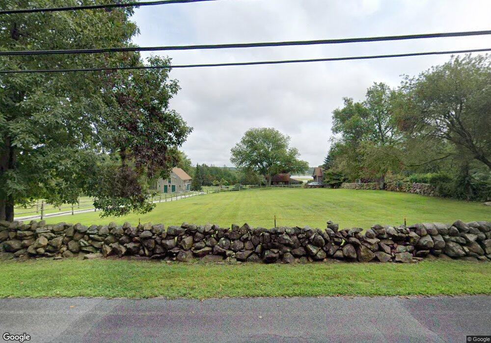
786 Drift Rd Westport, MA 02790
Booth/Handy Four Corners NeighborhoodEstimated Value: $773,000 - $3,972,000
3
Beds
2
Baths
3,118
Sq Ft
$773/Sq Ft
Est. Value
About This Home
This home is located at 786 Drift Rd, Westport, MA 02790 and is currently estimated at $2,410,427, approximately $773 per square foot. 786 Drift Rd is a home located in Bristol County with nearby schools including Alice A. Macomber Primary School, Westport Elementary School, and Westport Middle-High School.
Ownership History
Date
Name
Owned For
Owner Type
Purchase Details
Closed on
Dec 21, 2016
Sold by
Richard C Gower T
Bought by
Mundel Samuel M
Current Estimated Value
Home Financials for this Owner
Home Financials are based on the most recent Mortgage that was taken out on this home.
Original Mortgage
$1,650,000
Outstanding Balance
$1,336,850
Interest Rate
3.63%
Mortgage Type
Unknown
Estimated Equity
$1,073,577
Purchase Details
Closed on
Oct 2, 2003
Sold by
Gower Ellen and Gower Richard C
Bought by
Richard C Gower T and Gower Richard C
Home Financials for this Owner
Home Financials are based on the most recent Mortgage that was taken out on this home.
Original Mortgage
$322,000
Interest Rate
6.25%
Mortgage Type
Purchase Money Mortgage
Create a Home Valuation Report for This Property
The Home Valuation Report is an in-depth analysis detailing your home's value as well as a comparison with similar homes in the area
Home Values in the Area
Average Home Value in this Area
Purchase History
| Date | Buyer | Sale Price | Title Company |
|---|---|---|---|
| Mundel Samuel M | $2,050,000 | -- | |
| Richard C Gower T | -- | -- | |
| Gower Ellen | -- | -- |
Source: Public Records
Mortgage History
| Date | Status | Borrower | Loan Amount |
|---|---|---|---|
| Open | Mundel Samuel M | $1,650,000 | |
| Previous Owner | Gower Ellen | $322,000 |
Source: Public Records
Tax History
| Year | Tax Paid | Tax Assessment Tax Assessment Total Assessment is a certain percentage of the fair market value that is determined by local assessors to be the total taxable value of land and additions on the property. | Land | Improvement |
|---|---|---|---|---|
| 2025 | $4,322 | $580,200 | $0 | $580,200 |
| 2024 | $9,002 | $0 | $0 | $0 |
| 2023 | $8,905 | $1,091,350 | $566,650 | $524,700 |
| 2022 | $7,480 | $1,020,750 | $566,450 | $454,300 |
| 2021 | $7,480 | $867,790 | $0 | $0 |
| 2020 | $7,087 | $840,640 | $0 | $0 |
| 2019 | $6,941 | $839,330 | $384,930 | $454,400 |
| 2018 | $8,260 | $1,011,000 | $0 | $0 |
| 2017 | $7,443 | $933,920 | $0 | $0 |
| 2016 | $7,351 | $929,360 | $0 | $0 |
| 2015 | $7,107 | $896,230 | $0 | $0 |
Source: Public Records
Map
Nearby Homes
- 640 Main Rd
- 31 Brookwood Dr
- 837 Main Road & Lot 2
- 8 Village Way
- 920 Drift Rd
- 41 Riverview Dr
- 101 Adamsville Rd
- 0 Hidden Glen Ln
- 10 Fernmarsh Ln
- Lot 0 Marcotte
- 978 Sodom Rd
- 1371 Drift Rd
- 4 Main Rd
- 441 Old County Rd
- 2 Slades Farm Ln
- 332 Division Rd
- 17 Quail Trail
- 25 Quail Trail
- 1282 East Rd
- 10 Elise Michelle Way