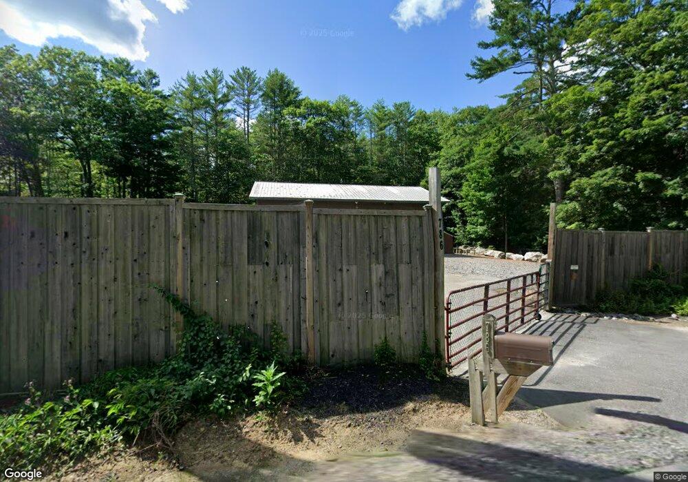
786 Howes Corner Rd Turner, ME 04282
Estimated Value: $700,000
--
Bed
--
Bath
10,315
Sq Ft
$68/Sq Ft
Est. Value
About This Home
This home is located at 786 Howes Corner Rd, Turner, ME 04282 and is currently estimated at $700,000, approximately $67 per square foot. 786 Howes Corner Rd is a home located in Androscoggin County with nearby schools including Tripp Middle School and Leavitt Area High School.
Ownership History
Date
Name
Owned For
Owner Type
Purchase Details
Closed on
Apr 26, 2022
Sold by
Horn Matt and Horn Veronica
Bought by
786 Howes Corner Road Llc
Current Estimated Value
Home Financials for this Owner
Home Financials are based on the most recent Mortgage that was taken out on this home.
Original Mortgage
$165,000
Outstanding Balance
$154,307
Interest Rate
4.16%
Mortgage Type
Purchase Money Mortgage
Estimated Equity
$545,693
Create a Home Valuation Report for This Property
The Home Valuation Report is an in-depth analysis detailing your home's value as well as a comparison with similar homes in the area
Home Values in the Area
Average Home Value in this Area
Purchase History
| Date | Buyer | Sale Price | Title Company |
|---|---|---|---|
| 786 Howes Corner Road Llc | -- | None Available |
Source: Public Records
Mortgage History
| Date | Status | Borrower | Loan Amount |
|---|---|---|---|
| Open | 786 Howes Corner Road Llc | $165,000 |
Source: Public Records
Tax History Compared to Growth
Tax History
| Year | Tax Paid | Tax Assessment Tax Assessment Total Assessment is a certain percentage of the fair market value that is determined by local assessors to be the total taxable value of land and additions on the property. | Land | Improvement |
|---|---|---|---|---|
| 2025 | $3,646 | $268,100 | $91,000 | $177,100 |
| 2024 | $3,418 | $268,100 | $91,000 | $177,100 |
| 2023 | $3,365 | $268,100 | $91,000 | $177,100 |
| 2022 | $3,056 | $268,100 | $91,000 | $177,100 |
| 2021 | $3,056 | $268,100 | $91,000 | $177,100 |
| 2020 | $2,740 | $153,100 | $37,000 | $116,100 |
| 2019 | $2,756 | $153,100 | $37,000 | $116,100 |
| 2018 | $2,718 | $153,100 | $37,000 | $116,100 |
| 2016 | $2,581 | $153,100 | $37,000 | $116,100 |
| 2015 | $2,434 | $153,100 | $37,000 | $116,100 |
| 2014 | $3,184 | $202,800 | $37,000 | $165,800 |
| 2013 | $3,038 | $202,800 | $37,000 | $165,800 |
Source: Public Records
Map
Nearby Homes
- 574 Howes Corner Rd
- 8 Sunrise Trail
- 27 Mountain View Rd
- 77 Appleseed Dr
- Lot16 Torrey Hill Rd
- 410 Pleasant Pond Rd
- 309 Strickland Ferry Rd
- 58-1 North Rd
- Lot 45-8 Wyatt's Way
- 528 N Parish Rd
- Lot 5-D Drewry Dr
- 497 N Parish Rd
- 454 N Parish Rd
- 35 Mason Rd
- 2539 Auburn Rd
- 183 Pleasant Pond Rd
- 113 Turkey Ln
- 591 North Rd
- 1785 Federal Rd
- 156 Lakeshore Dr
- 796 Howe's Corner
- 796 Howes Corner Rd
- 807 Howes Corner Rd
- 810 Howes Corner Rd
- 812 Howes Corner Rd
- 0 Rt 219 (Aka Howes Corner)
- 0 Route 219
- 0 Route 219 and River Rd Unit 1131061
- 12 Boothby Rd
- 11 Boothby Rd
- 750 Howes Corner Rd
- 4 Boothby Rd
- 914 Boothby Rd
- 0 Rte 219
- 0 Route 219 (Box 5230)
- 730 Howes Corner Rd
- 900 Boothby Rd
- 780 Route 219
- 775 Route 219
- 99 River Rd