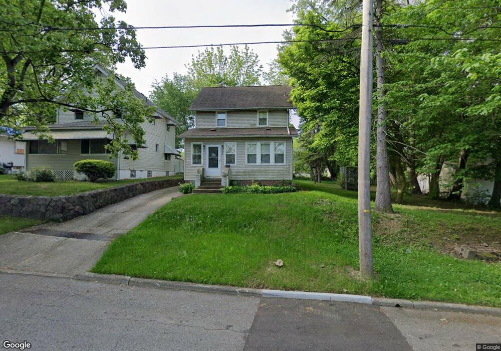
786 Mistletoe Rd Akron, OH 44307
Sherbondy Hill NeighborhoodEstimated Value: $57,000 - $88,691
3
Beds
2
Baths
1,290
Sq Ft
$58/Sq Ft
Est. Value
About This Home
This home is located at 786 Mistletoe Rd, Akron, OH 44307 and is currently estimated at $75,423, approximately $58 per square foot. 786 Mistletoe Rd is a home located in Summit County with nearby schools including Emmanuel Christian Academy.
Ownership History
Date
Name
Owned For
Owner Type
Purchase Details
Closed on
Aug 15, 2017
Sold by
Kendalls Asie Deen
Bought by
Barnes Phyllis
Current Estimated Value
Create a Home Valuation Report for This Property
The Home Valuation Report is an in-depth analysis detailing your home's value as well as a comparison with similar homes in the area
Home Values in the Area
Average Home Value in this Area
Purchase History
| Date | Buyer | Sale Price | Title Company |
|---|---|---|---|
| Barnes Phyllis | -- | None Available |
Source: Public Records
Tax History
| Year | Tax Paid | Tax Assessment Tax Assessment Total Assessment is a certain percentage of the fair market value that is determined by local assessors to be the total taxable value of land and additions on the property. | Land | Improvement |
|---|---|---|---|---|
| 2024 | $1,243 | $22,967 | $6,244 | $16,723 |
| 2023 | $1,243 | $22,967 | $6,244 | $16,723 |
| 2022 | $1,015 | $14,561 | $3,672 | $10,889 |
| 2021 | $1,016 | $14,561 | $3,672 | $10,889 |
| 2020 | $1,002 | $14,560 | $3,670 | $10,890 |
| 2019 | $1,091 | $14,490 | $3,670 | $10,820 |
| 2018 | $1,076 | $14,490 | $3,670 | $10,820 |
| 2017 | $1,186 | $14,490 | $3,670 | $10,820 |
| 2016 | $1,187 | $14,690 | $3,670 | $11,020 |
| 2015 | $1,186 | $14,690 | $3,670 | $11,020 |
| 2014 | $1,177 | $14,690 | $3,670 | $11,020 |
| 2013 | $596 | $15,710 | $3,670 | $12,040 |
Source: Public Records
Map
Nearby Homes
- 783 Leonard St
- 1225 Belleflower Rd
- 985 Diana Ave
- 776 Krause Ct
- 1296 Harmon Ave
- VL Mercer Ave
- 1255 Dover Ave
- 702 W Thornton St
- 1040 Mercer Ave
- 815 Longview Ave
- 1088 Packard Dr
- 1041 Diagonal Rd
- 1021 La Croix Ave
- 1188 Hardesty Blvd
- 970 Mercer Ave
- 1365 East Ave
- 0 Washburn Ave
- 957 Mercer Ave
- 777 Ruth Ave
- 1011 Laurel Ave
- 782 Mistletoe Rd
- 778 Mistletoe Rd
- 796 Mistletoe Rd
- 787 Leonard St
- 779 Leonard St
- 1236 Belleflower Rd
- 791 Leonard St
- 771 Leonard St
- 772 Mistletoe Rd
- 1251 Herman Ave
- 1263 Herman Ave
- 1232 Belleflower Rd
- 1247 Herman Ave
- 771 Mistletoe Rd
- 1267 Herman Ave
- 1235 Herman Ave
- 1231 Belleflower Rd
- 1226 Belleflower Rd
- 786 Leonard St
- 790 Leonard St
Your Personal Tour Guide
Ask me questions while you tour the home.