Estimated Value: $3,718,000 - $6,683,000
5
Beds
6
Baths
4,800
Sq Ft
$1,192/Sq Ft
Est. Value
About This Home
This home is located at 786 Potato Patch Dr, Vail, CO 81657 and is currently estimated at $5,720,386, approximately $1,191 per square foot. 786 Potato Patch Dr is a home located in Eagle County with nearby schools including Red Sandstone Elementary School and Battle Mountain High School.
Ownership History
Date
Name
Owned For
Owner Type
Purchase Details
Closed on
Oct 27, 2010
Sold by
Stuper Andrew J and Stuper Wanee W
Bought by
The Andrew & Wanee Stuper Trust Of March
Current Estimated Value
Purchase Details
Closed on
Apr 7, 2010
Sold by
Leeds Elizabeth Ann and Leeds Gary R
Bought by
Stuper Andrew J and Stuper Wanee W
Purchase Details
Closed on
Mar 1, 2005
Sold by
Cohen Edward L and Cohen Judith E
Bought by
Leeds Gary R and Leeds Elizabeth Ann
Home Financials for this Owner
Home Financials are based on the most recent Mortgage that was taken out on this home.
Original Mortgage
$1,700,000
Interest Rate
5.71%
Mortgage Type
Seller Take Back
Purchase Details
Closed on
Aug 14, 1997
Sold by
Cohen Edward L and Cohen Judith E
Bought by
Cohen Edward L and Cohen Judith E
Create a Home Valuation Report for This Property
The Home Valuation Report is an in-depth analysis detailing your home's value as well as a comparison with similar homes in the area
Home Values in the Area
Average Home Value in this Area
Purchase History
| Date | Buyer | Sale Price | Title Company |
|---|---|---|---|
| The Andrew & Wanee Stuper Trust Of March | -- | None Available | |
| Stuper Andrew J | $2,329,600 | Heritage Title | |
| Leeds Gary R | $2,100,000 | -- | |
| Cohen Edward L | -- | -- |
Source: Public Records
Mortgage History
| Date | Status | Borrower | Loan Amount |
|---|---|---|---|
| Previous Owner | Leeds Gary R | $1,700,000 |
Source: Public Records
Tax History
| Year | Tax Paid | Tax Assessment Tax Assessment Total Assessment is a certain percentage of the fair market value that is determined by local assessors to be the total taxable value of land and additions on the property. | Land | Improvement |
|---|---|---|---|---|
| 2024 | $21,938 | $461,250 | $212,070 | $249,180 |
| 2023 | $21,938 | $461,250 | $212,070 | $249,180 |
| 2022 | $16,566 | $322,360 | $133,040 | $189,320 |
| 2021 | $17,058 | $331,640 | $136,870 | $194,770 |
| 2020 | $16,059 | $316,430 | $121,660 | $194,770 |
| 2019 | $16,112 | $316,430 | $121,660 | $194,770 |
| 2018 | $14,009 | $269,650 | $147,020 | $122,630 |
| 2017 | $13,940 | $269,650 | $147,020 | $122,630 |
| 2016 | $10,343 | $202,280 | $88,040 | $114,240 |
Source: Public Records
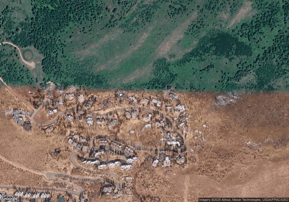
Map
Nearby Homes
- 780 Potato Patch Dr
- 775 Potato Patch Dr Unit E
- 770 Potato Patch Dr Unit 14
- 625 N Frontage Rd W Unit 22
- 508 E Lionshead Cir Unit 604-49
- 508 E Lionshead Cir Unit 310/week 8
- 508 E Lionshead Cir Unit 214
- 508 E Lionshead Cir Unit 310/Week 23
- 508 E Lionshead Cir Unit 105
- 508 E Lionshead Cir Unit 503
- 508 E Lionshead Cir Unit 604/Week 9
- 508 E Lionshead Cir Unit 211/Weeks 15/16/17
- 508 E Lionshead Cir Unit 312/Weeks 8/9/10
- 508 E Lionshead Cir Unit 116-07
- 508 E Lionshead Cir Unit 211/weeks 8 & 9
- 508 E Lionshead Cir Unit 312/Weeks 38 & 39
- 548 S Frontage Rd E Unit 301
- 548 S Frontage Rd W Unit 201
- 610 W Lionshead Cir Unit 704
- 610 W Lionshead Cir Unit 517
- 788 Potato Patch B Dr
- 788 Potato Patch Dr Unit A
- 788 Potato Patch Dr Unit B
- 784 Potato Patch Dr Unit 15W
- 784 Potato Patch Dr Unit 15E
- 784 Potato Patch Dr Unit W
- 784 Potato Patch Dr
- 785 Potato Patch Dr
- 787 Potato Patch Dr
- 789 Potato Patch Dr
- 790 Potato Patch Dr Unit C
- 790 Potato Patch Dr Unit B
- 790 Potato Patch Dr Unit A
- 790 Potato Patch Dr
- 782 Potato Patch Dr
- 781 Potato Patch Dr Unit B
- 781 Potato Patch Dr Unit A
- 781 Potato Patch Dr
- 792 Potato Patch Dr Unit B
- 792 Potato Patch Dr Unit A
Your Personal Tour Guide
Ask me questions while you tour the home.