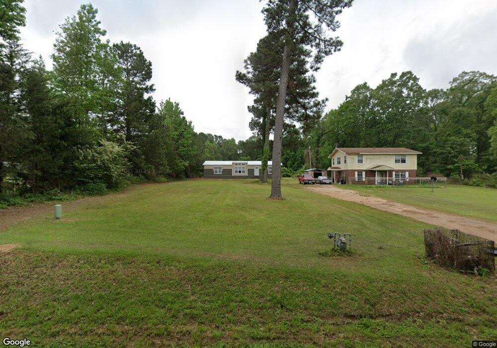
786 Sunray Rd Texarkana, TX 75501
Estimated Value: $186,000 - $314,000
--
Bed
--
Bath
2,304
Sq Ft
$106/Sq Ft
Est. Value
About This Home
This home is located at 786 Sunray Rd, Texarkana, TX 75501 and is currently estimated at $245,317, approximately $106 per square foot. 786 Sunray Rd is a home located in Bowie County with nearby schools including Liberty-Eylau Early Childhood Center, Liberty-Eylau Primary School, and Liberty-Eylau C.K. Bender Elementary Campus.
Ownership History
Date
Name
Owned For
Owner Type
Purchase Details
Closed on
Oct 12, 2012
Sold by
Kirk Tony and Kirk Amy
Bought by
Tidwell Thomas M and Tidwell Sandra L
Current Estimated Value
Home Financials for this Owner
Home Financials are based on the most recent Mortgage that was taken out on this home.
Original Mortgage
$151,182
Outstanding Balance
$104,513
Interest Rate
3.55%
Mortgage Type
VA
Estimated Equity
$140,804
Purchase Details
Closed on
Dec 29, 2006
Sold by
Hall E D and Hall Patsy R
Bought by
Hall Doyce Wayne and Hall Debbie
Home Financials for this Owner
Home Financials are based on the most recent Mortgage that was taken out on this home.
Original Mortgage
$22,000
Interest Rate
6.15%
Create a Home Valuation Report for This Property
The Home Valuation Report is an in-depth analysis detailing your home's value as well as a comparison with similar homes in the area
Home Values in the Area
Average Home Value in this Area
Purchase History
| Date | Buyer | Sale Price | Title Company |
|---|---|---|---|
| Tidwell Thomas M | -- | Twin City Title Co | |
| Hall Doyce Wayne | -- | None Available |
Source: Public Records
Mortgage History
| Date | Status | Borrower | Loan Amount |
|---|---|---|---|
| Open | Tidwell Thomas M | $151,182 | |
| Previous Owner | Hall Doyce Wayne | $22,000 |
Source: Public Records
Tax History Compared to Growth
Tax History
| Year | Tax Paid | Tax Assessment Tax Assessment Total Assessment is a certain percentage of the fair market value that is determined by local assessors to be the total taxable value of land and additions on the property. | Land | Improvement |
|---|---|---|---|---|
| 2025 | $391 | $170,861 | -- | -- |
| 2024 | $391 | $155,328 | $24,590 | $141,108 |
| 2023 | $2,110 | $141,207 | $0 | $0 |
| 2022 | $2,212 | $141,342 | $24,590 | $116,752 |
| 2021 | $2,138 | $116,700 | $22,220 | $94,480 |
| 2020 | $2,071 | $112,200 | $22,220 | $89,980 |
| 2019 | $2,123 | $109,278 | $22,220 | $87,058 |
| 2018 | $2,058 | $105,930 | $22,220 | $83,710 |
| 2017 | $2,018 | $104,294 | $22,220 | $82,074 |
| 2016 | $2,033 | $105,076 | $21,720 | $83,356 |
| 2015 | $1,285 | $104,254 | $21,720 | $82,534 |
| 2014 | $1,285 | $101,092 | $21,720 | $79,372 |
Source: Public Records
Map
Nearby Homes
- 6815 Buchanan Loop Rd
- 6606 Us Highway 59 S
- 6606 Us-59
- 0 Randall Rd
- 0 Lakeshore
- 6514 Buchanan Loop Rd
- 101 Redwood Dr
- 280 Patriot Way
- 194 W Starlite Dr
- 1 Starlite Dr
- 403 Brookfield St
- 7689 Us-59
- 7685 State Highway 59
- 6 Southridge St
- 0 Sherwood Acres Ln
- 2 S Pineview Dr
- 0 Urban Dr
- 144 Joe Tyl Rd
- Pansy st Loop 151
- 206 Fm 3244
- 770 Sunray Rd
- 870 Sunray Rd
- 709 Sunray Rd
- 890 Sunray Rd
- 683 Sunray Rd
- 944 Sunray Dr
- 648 Sunray Rd
- 962 Sunray Rd
- 7921 Cr 1347
- 7908 Eylau Loop Rd
- 7930 Eylau Loop Rd
- 7950 Eylau Loop Rd
- 7919 Eylau Loop Rd
- 8012 Eylau Loop Rd
- 7973 Eylau Loop Rd
- 76 AC Lake Dr (Hwy 59) at Eylau Loop Rd
- 7721 Eylau Loop Rd
- 5918 Us Highway 59 S
- 211 Sunray Rd
- 307 Sunray Rd