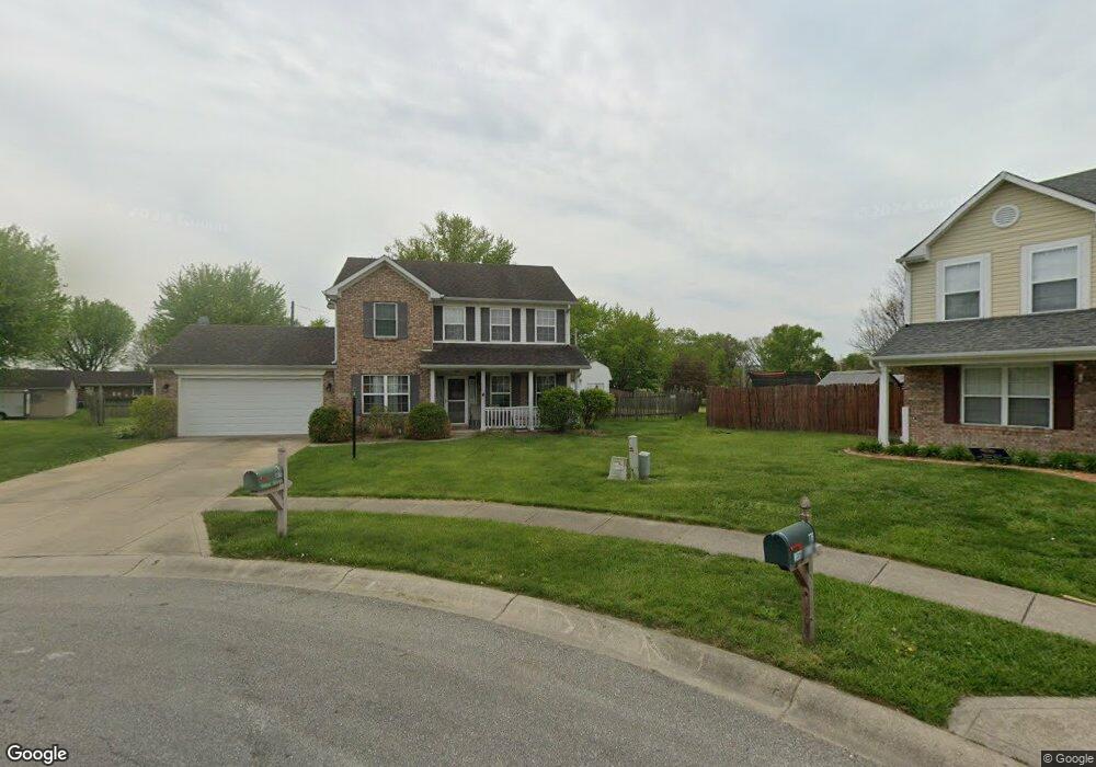
786 West St Whiteland, IN 46184
Estimated Value: $302,000 - $314,000
3
Beds
3
Baths
1,928
Sq Ft
$159/Sq Ft
Est. Value
About This Home
This home is located at 786 West St, Whiteland, IN 46184 and is currently estimated at $307,228, approximately $159 per square foot. 786 West St is a home located in Johnson County with nearby schools including Whiteland Elementary School, Clark-Pleasant Middle School, and Whiteland Community High School.
Ownership History
Date
Name
Owned For
Owner Type
Purchase Details
Closed on
Oct 9, 2025
Sold by
Whitaker Kevin B and Whitaker Cynthia M
Bought by
Baker Kelsey and Brinck Tanner
Current Estimated Value
Home Financials for this Owner
Home Financials are based on the most recent Mortgage that was taken out on this home.
Original Mortgage
$222,750
Outstanding Balance
$222,750
Interest Rate
6.5%
Mortgage Type
VA
Estimated Equity
$84,478
Purchase Details
Closed on
Jun 14, 2006
Sold by
Scott Steven G and Scott Jennifer L
Bought by
Whitaker Kevin B and Whitaker Cynthia M
Home Financials for this Owner
Home Financials are based on the most recent Mortgage that was taken out on this home.
Original Mortgage
$142,500
Interest Rate
6.73%
Create a Home Valuation Report for This Property
The Home Valuation Report is an in-depth analysis detailing your home's value as well as a comparison with similar homes in the area
Home Values in the Area
Average Home Value in this Area
Purchase History
| Date | Buyer | Sale Price | Title Company |
|---|---|---|---|
| Baker Kelsey | -- | Alliance Title | |
| Whitaker Kevin B | -- | Chicago Title Insurance Co |
Source: Public Records
Mortgage History
| Date | Status | Borrower | Loan Amount |
|---|---|---|---|
| Open | Baker Kelsey | $222,750 | |
| Previous Owner | Whitaker Kevin B | $142,500 |
Source: Public Records
Tax History Compared to Growth
Tax History
| Year | Tax Paid | Tax Assessment Tax Assessment Total Assessment is a certain percentage of the fair market value that is determined by local assessors to be the total taxable value of land and additions on the property. | Land | Improvement |
|---|---|---|---|---|
| 2025 | $2,558 | $260,200 | $55,000 | $205,200 |
| 2024 | $2,558 | $244,900 | $55,000 | $189,900 |
| 2023 | $2,609 | $249,900 | $55,000 | $194,900 |
| 2022 | $2,361 | $226,300 | $43,300 | $183,000 |
| 2021 | $1,912 | $182,800 | $43,300 | $139,500 |
| 2020 | $1,716 | $163,200 | $43,300 | $119,900 |
| 2019 | $1,567 | $149,200 | $34,700 | $114,500 |
| 2018 | $1,688 | $160,500 | $26,300 | $134,200 |
| 2017 | $1,542 | $153,400 | $26,300 | $127,100 |
| 2016 | $1,436 | $139,200 | $26,300 | $112,900 |
| 2014 | $1,351 | $144,200 | $34,400 | $109,800 |
| 2013 | $1,351 | $134,300 | $34,400 | $99,900 |
Source: Public Records
Map
Nearby Homes
- 0 Us 31 Unit MBR22038423
- 1410 Michigan Rd
- 600 West St
- 143 Davis Dr
- 4128 William Ave
- 3643 Hanford Rd
- Broadmoor Plan at Kingsbridge - SM Venture
- 3701 Jason Ave
- Alan Plan at Kingsbridge - SM Venture
- Paddington Plan at Kingsbridge - 3-Car Venture
- 3743 Jason Ave
- Kingston Plan at Kingsbridge - Venture
- 3673 Jason Ave
- 3771 Jason Ave
- Aspen Plan at Kingsbridge - SM Venture
- 3690 Jason Ave
- 3723 Hanford Rd
- Hampshire Plan at Kingsbridge - Venture
- Jasper Plan at Kingsbridge - 3-Car Venture
- Alan Plan at Kingsbridge - Venture
- 776 West St
- 550 Paul Hand Blvd
- 560 Paul Hand Blvd
- 784 Hummingbird Ln
- 774 Hummingbird Ln
- 570 Paul Hand Blvd
- 764 Hummingbird Ln
- 767 West St
- 570 Paul Hand Blvd
- 540 Paul Hand Blvd
- 540 Paul Hand Blvd
- 754 Hummingbird Ln
- 757 West St
- 744 Hummingbird Ln
- 785 Hummingbird Ln
- 747 West St
- 765 Hummingbird Ln
- 734 Hummingbird Ln
- 460 Paul Hand Blvd
- 745 Hummingbird Ln