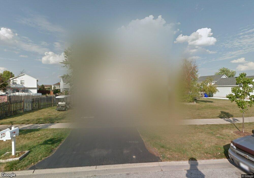
7860 W Frankfort Square Rd Frankfort, IL 60423
Frankfort Square NeighborhoodEstimated Value: $320,000 - $336,000
3
Beds
2
Baths
1,140
Sq Ft
$289/Sq Ft
Est. Value
About This Home
This home is located at 7860 W Frankfort Square Rd, Frankfort, IL 60423 and is currently estimated at $329,536, approximately $289 per square foot. 7860 W Frankfort Square Rd is a home located in Will County with nearby schools including Frankfort Square Elementary School, Summit Hill Junior High School, and Lincoln-Way East High School.
Ownership History
Date
Name
Owned For
Owner Type
Purchase Details
Closed on
Aug 17, 1995
Sold by
Talaber Vincent F and Talaber Deborah A
Bought by
Scudieri David A and Scudieri Karen A
Current Estimated Value
Home Financials for this Owner
Home Financials are based on the most recent Mortgage that was taken out on this home.
Original Mortgage
$134,100
Interest Rate
7.25%
Create a Home Valuation Report for This Property
The Home Valuation Report is an in-depth analysis detailing your home's value as well as a comparison with similar homes in the area
Home Values in the Area
Average Home Value in this Area
Purchase History
| Date | Buyer | Sale Price | Title Company |
|---|---|---|---|
| Scudieri David A | $149,000 | Chicago Title Insurance Co |
Source: Public Records
Mortgage History
| Date | Status | Borrower | Loan Amount |
|---|---|---|---|
| Closed | Scudieri David A | $134,100 |
Source: Public Records
Tax History Compared to Growth
Tax History
| Year | Tax Paid | Tax Assessment Tax Assessment Total Assessment is a certain percentage of the fair market value that is determined by local assessors to be the total taxable value of land and additions on the property. | Land | Improvement |
|---|---|---|---|---|
| 2024 | $6,932 | $90,186 | $18,671 | $71,515 |
| 2023 | $6,932 | $80,545 | $16,675 | $63,870 |
| 2022 | $6,151 | $73,363 | $15,188 | $58,175 |
| 2021 | $5,754 | $68,634 | $14,209 | $54,425 |
| 2020 | $5,660 | $74,719 | $13,809 | $60,910 |
| 2019 | $6,657 | $77,754 | $13,439 | $64,315 |
| 2018 | $6,409 | $75,519 | $13,053 | $62,466 |
| 2017 | $6,272 | $73,756 | $12,748 | $61,008 |
| 2016 | $6,073 | $71,227 | $12,311 | $58,916 |
| 2015 | $5,850 | $68,718 | $11,877 | $56,841 |
| 2014 | $5,850 | $68,240 | $11,794 | $56,446 |
| 2013 | $5,850 | $69,125 | $11,947 | $57,178 |
Source: Public Records
Map
Nearby Homes
- 8025 Stonegate Dr
- 7959 Brookside Glen Dr Unit VI
- 20027 S Jessica Ln
- 8131 W Evergreen Dr
- 7905 Richardson Ln
- 8124 Glenbrook Place Unit 1
- 7758 W Kingston Dr
- 7800 W Kingston Dr
- 7928 Trinity Cir Unit 2SW
- 7928 Trinity Cir Unit 3NW
- 19708 S Skye Dr
- 8026 Bradley Dr
- 20137 S Hampton Ct Unit A
- 20130 S Frankfort Square Rd
- 7407 Ridgefield Ln
- 7752 W Almond Ct Unit 135
- 7716 Greenway Blvd Unit 1SW
- 20158 S Rosewood Dr
- 8500 Brookside Glen Dr
- 19642 S Edinburgh Ln
- 7859 W Evan Terrace
- 7901 W Evan Terrace
- 7848 W Frankfort Square Rd
- 7849 W Evan Terrace
- 7861 W Frankfort Square Rd
- 7918 W Frankfort Square Rd
- 7909 W Frankfort Square Rd
- 7838 W Frankfort Square Rd
- 7851 W Frankfort Square Rd
- 7839 W Evan Terrace
- 7917 W Frankfort Square Rd
- 7860 W Carrie Ct
- 7858 W Evan Terrace
- 7830 W Frankfort Square Rd
- 7900 W Evan Terrace Unit 1
- 7900 W Carrie Ct
- 7831 W Evan Terrace
- 7848 W Evan Terrace
- 7940 W Carrie Ct
- 7839 W Carrie Ct
