Estimated Value: $276,000 - $355,000
--
Bed
1
Bath
1,374
Sq Ft
$231/Sq Ft
Est. Value
About This Home
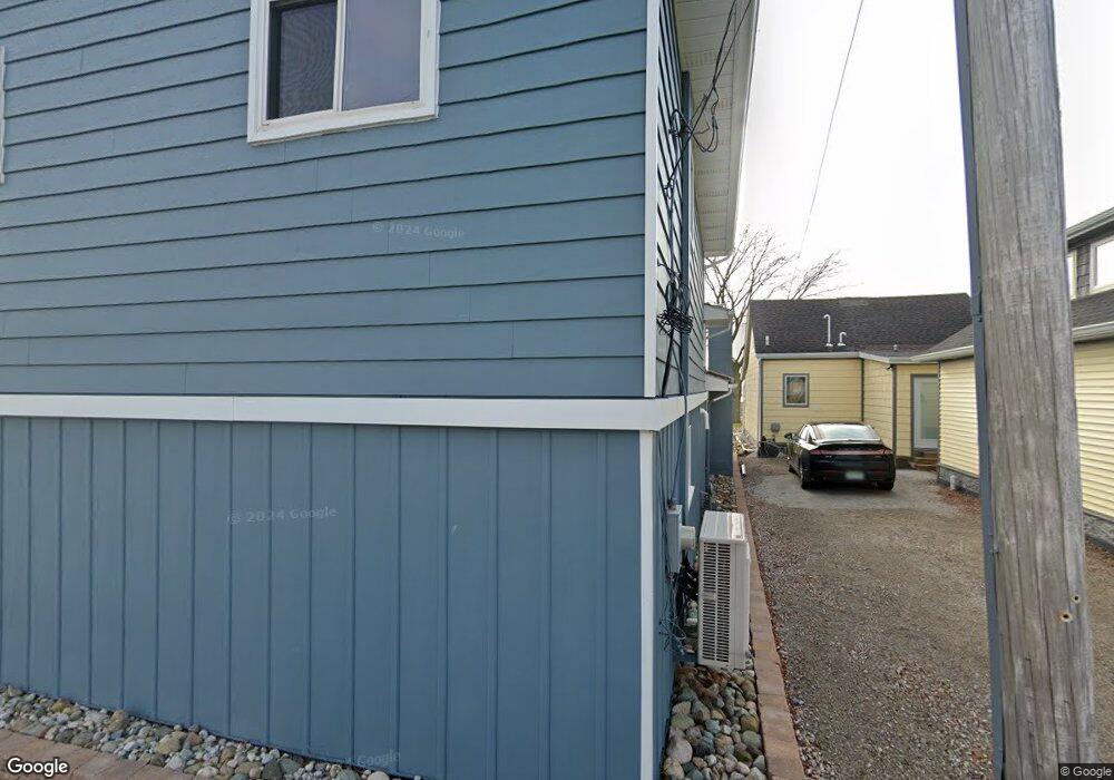
This home is located at 7861 Stark Dr, Clay, MI 48001 and is currently estimated at $317,014, approximately $230 per square foot. 7861 Stark Dr is a home located in St. Clair County with nearby schools including Algonac Junior/Senior High School, Country Meadows Montessori School, and Immaculate Conception School.
Ownership History
Date
Name
Owned For
Owner Type
Purchase Details
Closed on
Sep 1, 2021
Sold by
Roncelli Antonio T
Bought by
Maurice Jerome Jason and Degowske Deborah
Current Estimated Value
Home Financials for this Owner
Home Financials are based on the most recent Mortgage that was taken out on this home.
Original Mortgage
$187,500
Interest Rate
3.69%
Mortgage Type
New Conventional
Purchase Details
Closed on
Dec 5, 2020
Sold by
Hoyt Kerensa and Adams Cynthia B
Bought by
Cynthia D Adams 2000 Trust
Purchase Details
Closed on
Dec 2, 2020
Sold by
The Cynthia D Adams 2000 Trust
Bought by
Roncelli Antonio T
Create a Home Valuation Report for This Property
The Home Valuation Report is an in-depth analysis detailing your home's value as well as a comparison with similar homes in the area
Home Values in the Area
Average Home Value in this Area
Purchase History
| Date | Buyer | Sale Price | Title Company |
|---|---|---|---|
| Maurice Jerome Jason | $250,000 | None Listed On Document | |
| Cynthia D Adams 2000 Trust | -- | None Available | |
| Roncelli Antonio T | $250,000 | None Available |
Source: Public Records
Mortgage History
| Date | Status | Borrower | Loan Amount |
|---|---|---|---|
| Previous Owner | Maurice Jerome Jason | $187,500 |
Source: Public Records
Tax History Compared to Growth
Tax History
| Year | Tax Paid | Tax Assessment Tax Assessment Total Assessment is a certain percentage of the fair market value that is determined by local assessors to be the total taxable value of land and additions on the property. | Land | Improvement |
|---|---|---|---|---|
| 2025 | $6,601 | $141,300 | $0 | $0 |
| 2024 | $4,738 | $135,900 | $0 | $0 |
| 2023 | $4,539 | $123,700 | $0 | $0 |
| 2022 | $5,961 | $114,400 | $0 | $0 |
| 2021 | $3,756 | $111,000 | $0 | $0 |
| 2020 | $2,096 | $94,500 | $94,500 | $0 |
| 2019 | $2,065 | $90,000 | $0 | $0 |
| 2018 | $2,031 | $66,300 | $0 | $0 |
| 2017 | $1,939 | $65,300 | $0 | $0 |
| 2016 | $1,051 | $65,300 | $0 | $0 |
| 2015 | -- | $61,700 | $61,700 | $0 |
| 2014 | -- | $58,300 | $58,300 | $0 |
| 2013 | -- | $56,600 | $0 | $0 |
Source: Public Records
Map
Nearby Homes
- 7424 Dyke Rd
- 7434 Dyke Rd
- 7440 Dyke Rd
- 7318 Bealane Rd
- 7454 Dyke Rd
- 7320 Jochar Rd
- 7591 Dyke Rd
- 7910 Anchor Bay Dr
- 7953 Bouvier Bay Rd
- 8107 Anchor Bay Dr
- 8274 Anchor Bay Dr
- 8349 Dixie Hwy
- 00 Broadbridge Rd
- 8415 Swan Ct
- 8421 Swan Ct
- 8412 Swan Ct
- 8439 Swan Ct
- 16 Harmony Ct
- 7214 Cardinal St
- 15-16-17 Harmony Dr