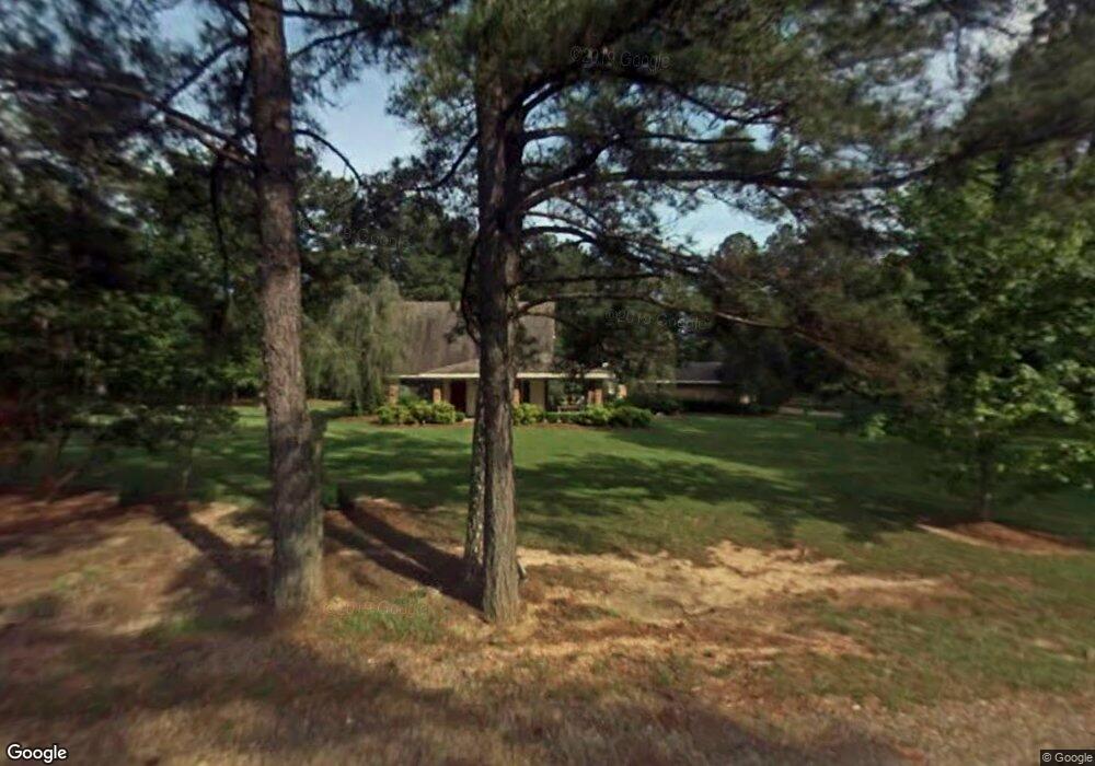
7862 Laurel Rd Bastrop, LA 71220
Estimated Value: $191,144 - $304,000
3
Beds
2
Baths
2,938
Sq Ft
$78/Sq Ft
Est. Value
About This Home
This home is located at 7862 Laurel Rd, Bastrop, LA 71220 and is currently estimated at $228,536, approximately $77 per square foot. 7862 Laurel Rd is a home located in Morehouse Parish with nearby schools including Morehouse Junior High School and Bastrop High School.
Ownership History
Date
Name
Owned For
Owner Type
Purchase Details
Closed on
Jun 15, 2011
Sold by
Akers Dennis M
Bought by
Freeland Kenneth A
Current Estimated Value
Home Financials for this Owner
Home Financials are based on the most recent Mortgage that was taken out on this home.
Original Mortgage
$136,451
Outstanding Balance
$93,490
Interest Rate
4.5%
Mortgage Type
FHA
Estimated Equity
$135,046
Create a Home Valuation Report for This Property
The Home Valuation Report is an in-depth analysis detailing your home's value as well as a comparison with similar homes in the area
Home Values in the Area
Average Home Value in this Area
Purchase History
| Date | Buyer | Sale Price | Title Company |
|---|---|---|---|
| Freeland Kenneth A | $140,000 | -- |
Source: Public Records
Mortgage History
| Date | Status | Borrower | Loan Amount |
|---|---|---|---|
| Open | Freeland Kenneth A | $136,451 |
Source: Public Records
Tax History Compared to Growth
Tax History
| Year | Tax Paid | Tax Assessment Tax Assessment Total Assessment is a certain percentage of the fair market value that is determined by local assessors to be the total taxable value of land and additions on the property. | Land | Improvement |
|---|---|---|---|---|
| 2024 | $1,458 | $15,019 | $817 | $14,202 |
| 2023 | $1,396 | $14,243 | $666 | $13,577 |
| 2022 | $1,396 | $14,243 | $666 | $13,577 |
| 2021 | $1,396 | $14,243 | $666 | $13,577 |
| 2020 | $1,378 | $14,243 | $666 | $13,577 |
| 2019 | $1,346 | $14,250 | $490 | $13,760 |
| 2018 | $1,345 | $14,250 | $490 | $13,760 |
| 2017 | $1,345 | $14,250 | $490 | $13,760 |
| 2016 | $1,344 | $14,250 | $490 | $13,760 |
| 2015 | $1,276 | $14,250 | $490 | $13,760 |
| 2013 | $1,328 | $14,250 | $490 | $13,760 |
Source: Public Records
Map
Nearby Homes
- 12144 Jays Rd
- 6673 Pete Montgomery Rd
- 12483 Wallace Rd
- 7398 Amon Hill Rd
- 7400 Amon Hill Rd
- 7399 Amon Hill Rd
- 10730 McCreight St
- 10630 Camelia Ave
- 10632 Azalea Dr
- 5736 Matheny Ave
- 5766 Matheny Ave
- 2386 Bonner Ferry Rd
- 10579 Stephenson Dr
- 10571 Magnolia Dr
- 114 Loop Dr
- 1613 Brendle Dr
- 107 Rosemary Dr
- 10529 Hill Ave
- 205 Frederick St
- 1333 Guy Ave
- 0000 Boswell St
- 000 Shelton Rd
- 000 Cain Rd
- Tract 3 Bartholomew Dr
- 0000 N Washington St
- 5906 Hwy 165 N
- 0 Harrington Marable Unit 151706
- 000 Carbon Plant Rd
- 0 Upland Rd Unit 184970
- 5771 Shelton Cutoff Rd
- lot 17 Eagles Nest
- 12106 Cornbread Rd
- 12138 Cornbread Rd
- 12178 Cornbread Rd
- 12094 Cornbread Rd
- 0000 Shelton Cutoff Bryan Rd
- 0000 Shelton Cutoff
- 12082 Cornbread Rd
- 12082 Cornbread Rd
- 12255 Lazy Oaks Dr