7863 Rappaport Dr Jessup, MD 20794
Estimated Value: $527,975 - $599,000
--
Bed
3
Baths
2,480
Sq Ft
$229/Sq Ft
Est. Value
About This Home
This home is located at 7863 Rappaport Dr, Jessup, MD 20794 and is currently estimated at $567,744, approximately $228 per square foot. 7863 Rappaport Dr is a home located in Anne Arundel County with nearby schools including Jessup Elementary School, Meade Middle School, and Meade High School.
Ownership History
Date
Name
Owned For
Owner Type
Purchase Details
Closed on
May 25, 2017
Sold by
Calatlantic Group Inc
Bought by
Suma Nyndan Jamie and Suma Mohamed Foday
Current Estimated Value
Home Financials for this Owner
Home Financials are based on the most recent Mortgage that was taken out on this home.
Original Mortgage
$415,461
Outstanding Balance
$343,305
Interest Rate
3.87%
Mortgage Type
FHA
Estimated Equity
$224,439
Create a Home Valuation Report for This Property
The Home Valuation Report is an in-depth analysis detailing your home's value as well as a comparison with similar homes in the area
Home Values in the Area
Average Home Value in this Area
Purchase History
| Date | Buyer | Sale Price | Title Company |
|---|---|---|---|
| Suma Nyndan Jamie | $423,126 | Calatlantic Title Of Marylan |
Source: Public Records
Mortgage History
| Date | Status | Borrower | Loan Amount |
|---|---|---|---|
| Open | Suma Nyndan Jamie | $415,461 |
Source: Public Records
Tax History Compared to Growth
Tax History
| Year | Tax Paid | Tax Assessment Tax Assessment Total Assessment is a certain percentage of the fair market value that is determined by local assessors to be the total taxable value of land and additions on the property. | Land | Improvement |
|---|---|---|---|---|
| 2025 | $5,236 | $458,700 | $110,000 | $348,700 |
| 2024 | $5,236 | $437,000 | $0 | $0 |
| 2023 | $4,958 | $415,300 | $0 | $0 |
| 2022 | $4,495 | $393,600 | $100,000 | $293,600 |
| 2021 | $8,990 | $393,600 | $100,000 | $293,600 |
| 2020 | $4,460 | $393,600 | $100,000 | $293,600 |
| 2019 | $4,815 | $427,200 | $140,000 | $287,200 |
| 2018 | $4,332 | $427,200 | $140,000 | $287,200 |
| 2017 | $4,651 | $39,667 | $0 | $0 |
| 2016 | -- | $35,000 | $0 | $0 |
| 2015 | -- | $35,000 | $0 | $0 |
Source: Public Records
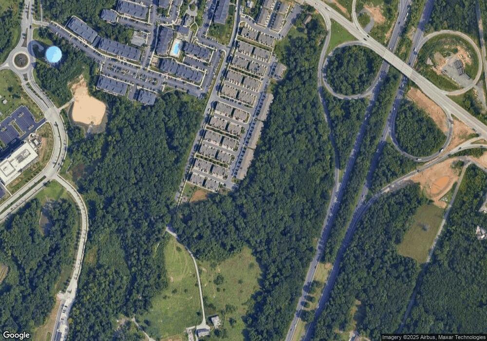
Map
Nearby Homes
- 7836 Mine Run Rd
- 7808 Union Hill Dr
- 7820 Mine Run Rd
- 7911 Mine Run Rd
- 2914 Middleham Ct
- 7926 Silver Oak Rd
- 2932 Hebron Ln
- 7951 Silver Oak Rd
- 3723 Cedar Mountain Way
- 2727 Amber Crest Rd
- 7841 Chanceford Dr
- 7652 Telamon Way
- 7812 Patterson Way
- 2642 Shade Branch Rd
- 7938 Big Roundtop Rd
- 3106 Laurel Hill Rd
- 7444 Burnside Way
- 2784 Fredericksburg Rd
- 2746 Fredericksburg Rd
- 2044 Orchard Ave
- 7861 Rappaport Dr
- 7865 Rappaport Dr
- 7859 Rappaport Dr
- 7867 Rappaport Dr
- 7857 Rappaport Dr
- 7855 Rappaport Dr
- 2409 Sommers Ct
- 7853 Sellner Rd
- 7853 Sellner Rd Unit 2
- 7853 Sellner Rd Unit 4
- 2312 Marion Rd
- 2411 Sommers Ct
- 7853 Rappaport Dr
- 2314 Marion Rd
- 2413 Sommers Ct
- 2316 Marion Rd
- 2408 Sommers Ct
- 7849 Rappaport Dr
- 2415 Sommers Ct
- 2410 Sommers Ct