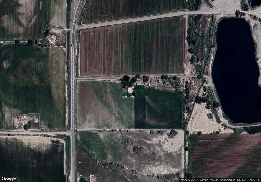
Estimated Value: $478,706 - $753,000
3
Beds
2
Baths
1,935
Sq Ft
$303/Sq Ft
Est. Value
About This Home
This home is located at 7864 Highway 65, Delta, CO 81416 and is currently estimated at $585,677, approximately $302 per square foot. 7864 Highway 65 is a home located in Delta County with nearby schools including Garnet Mesa Elementary School, Lincoln Elementary School, and Delta Middle School.
Ownership History
Date
Name
Owned For
Owner Type
Purchase Details
Closed on
Aug 23, 2018
Sold by
Frazier Richard M and Frazier Betsey A
Bought by
Lance Ethan S and Lance Mikayla R
Current Estimated Value
Home Financials for this Owner
Home Financials are based on the most recent Mortgage that was taken out on this home.
Original Mortgage
$400,000
Outstanding Balance
$347,384
Interest Rate
4.5%
Mortgage Type
New Conventional
Estimated Equity
$238,293
Purchase Details
Closed on
Feb 8, 2016
Sold by
Frazier Richard M and Frazier Betsey A
Bought by
Frazier Richard M and Frazier Betsey A
Purchase Details
Closed on
Apr 25, 2014
Sold by
Volk David Jonathan
Bought by
The Richard M Frazier & Betsey A Frazier
Create a Home Valuation Report for This Property
The Home Valuation Report is an in-depth analysis detailing your home's value as well as a comparison with similar homes in the area
Purchase History
| Date | Buyer | Sale Price | Title Company |
|---|---|---|---|
| Lance Ethan S | $400,000 | Land Title Guarantee Co | |
| Frazier Richard M | -- | None Available | |
| Frazier Richard M | -- | None Available | |
| Frazier Richard M | -- | None Available | |
| The Richard M Frazier & Betsey A Frazier | $326,000 | Land Title Guarantee Company |
Source: Public Records
Mortgage History
| Date | Status | Borrower | Loan Amount |
|---|---|---|---|
| Open | Lance Ethan S | $400,000 |
Source: Public Records
Tax History
| Year | Tax Paid | Tax Assessment Tax Assessment Total Assessment is a certain percentage of the fair market value that is determined by local assessors to be the total taxable value of land and additions on the property. | Land | Improvement |
|---|---|---|---|---|
| 2024 | $1,422 | $21,489 | $2,686 | $18,803 |
| 2023 | $1,422 | $21,489 | $2,686 | $18,803 |
| 2022 | $1,248 | $19,335 | $2,545 | $16,790 |
| 2021 | $1,281 | $20,229 | $2,797 | $17,432 |
| 2020 | $1,183 | $18,411 | $2,582 | $15,829 |
| 2019 | $1,171 | $18,411 | $2,582 | $15,829 |
| 2018 | $1,210 | $18,348 | $2,753 | $15,595 |
| 2017 | $1,176 | $18,348 | $2,753 | $15,595 |
| 2016 | $999 | $0 | $0 | $0 |
Source: Public Records
Map
Nearby Homes
- 8585 Ellens Way
- 8585 Ellen's Way
- 18755 H Rd
- TBD Iris Rd
- 20465 Iris Rd
- 19922 Jay Rd
- 9159 Highway 65 Hwy
- 8350 2085 Rd
- TBD Fairview (2007 Rd) Rd
- TBD Fairview Rd Unit Residential Land
- TBD Fairview Rd Unit Commercial Land
- 7095 Buena Vista Rd
- Lot 3, TBD 1900 Rd
- Lot 4, TBD 1900 Rd
- Lot 2, TBD 1900 Rd
- Lot 1, TBD 1900 Rd
- 20996 Fairview Rd
- 8555 Coffey Rd
- 1774 Trapper Ct
- 9808 Colorado 65
- 19153 Homestead Rd
- 7638 Highway 65
- 7534 Highway 65
- 8037 Highway 65
- 7530 Highway 65
- 8041 Highway 65
- 0 Hwy 65
- 7526 Highway 65
- 8045 Highway 65
- 19589 Highway 92
- 8222 Highway 65
- 8260 1950 Rd
- 7562 1900 Rd
- 0 State Highway 65
- 8282 1950 Rd
- 8302 Marshalls Rd
- 19698 Highway 92
- 8340 1950 Rd
- 1950 Road
- 8281 Highway 65
Your Personal Tour Guide
Ask me questions while you tour the home.
